Browse / Switzerland / Aargau / Villmergen
Villmergen
Aargauvillage

Villmergen
Total population
7,295
Demographic figures from Swiss Federal Statistical Office. Overview below cites Wikipedia and may reference a different year.
City facts
Overview
Villmergen is a municipality in the district of Bremgarten in the canton of Aargau in Switzerland.
Read more on WikipediaHistory & geography
History
The area was first settled between 500 and 58 BC, but no records and little evidence survives of that settlement. During the Roman era there were at least two villas, one at Heidenhübel and the other on the Schwarzhalde. The first mention of the modern village was in 1185, as Vilmaringen. In 1273, the Counts of Kyburger sold Villmergen to the House of Habsburg. A Kyburg Castle was mentioned in the village in 1315, but no clear evidence of this castle has been discovered. Most likely, it was on the Heidenhübel, south-west of the village, since a square foundation was discovered there in 1927. In 1337, the patronage right to the village church was held by the knightly family of Hallwyl. In 1425, the rights to the church transferred to the Benedictine Muri Abbey. In 1525 to 1531, the Protestant Reformation entered the village, but much of the population stayed Catholic. On 24 January 1656 and again on 24 July 1712, the First War of Villmergen and the Toggenburg War (or Second War of Villmergen) were fought near the village. both battles were between the Reformed and Catholic Swiss cantons. The Protestants' victory in the Second Battle of Villmergen, brought an end to the Catholic hegemony in the Swiss Confederation and prevented further conflict until the renewed outbreak of civil war until 1847. That year, the Sonderbund war led to the formation of Switzerland as a federal state. Under the short-lived Helvetic Republic, Villmergen was part of the District of Sarmenstorf in 1798. Five years later, under the Act of Mediation, it became part of the Bremgarten District. In 1841, the local monastery was secularised. During the Sonderbund War, was a battle between cantonal forces and local militia troops in the municipality. The battle ended with seven dead and one…
Geography
Villmergen has an area, , of . Of this area, 41.6% is used for agricultural purposes, while 35.9% is forested. Of the rest of the land, 22.3% is settled (buildings or roads) and the remainder (0.2%) is non-productive (rivers or lakes).
Excerpted from the corresponding Wikipedia article (CC BY-SA).
Geography
Coordinates & boundaries from the US Census TIGER/Line shapefiles.
Climate
Air quality
Walkability
Amenities nearby
Wildlife & biodiversity
Most-observed species
- Annual FleabaneErigeron annuus (L.) Pers. · Magnoliopsida15,722
- Meadow BrownManiola jurtina (Linnaeus, 1758) · Insecta13,748
- European roe deerCapreolus capreolus (Linnaeus, 1758) · Mammalia11,773
- Common BluePolyommatus icarus (von Rottemburg, 1775) · Insecta9,816
- red foxVulpes vulpes (Linnaeus, 1758) · Mammalia6,643
- Marbled WhiteMelanargia galathea Linnaeus, 1758 · Insecta5,391
- bow-winged grasshopperChorthippus biguttulus (Linnaeus, 1758) · Insecta4,958
- Small HeathCoenonympha pamphilus (Linnaeus, 1758) · Insecta4,795
Citizen-science & research observations from the Global Biodiversity Information Facility (GBIF).
Earthquake history
Most recent
- M 3.7 — 2026-04-264 km N of Quarten, Switzerland
- M 4.1 — 2025-07-214 km E of Frutigen, Switzerland
- M 3.5 — 2024-06-271 km SSW of Todtmoos, Germany
- M 4.2 — 2024-06-042 km NNW of Unteriberg, Switzerland
- M 3.9 — 2022-09-101 km WSW of Zimmersheim, France
- M 3.8 — 2022-09-012 km WSW of Sevelen, Switzerland
Events from the USGS Earthquake Catalog (global) (FDSN Event Web Service).
Photos
Sights & places nearby
Notable people from here
Nearby places in Aargau
- Anglikon1.4 mi away
- Dintikon1.4 mi away · pop. 1,307
- Wohlen AG1.6 mi away · pop. 17,481
- Seengen2.3 mi away · pop. 3,955
- Ammerswil2.4 mi away · pop. 673
- Egliswil2.8 mi away · pop. 1,408
- Waltenschwil2.8 mi away · pop. 2,029
- Hendschiken3 mi away · pop. 1,220
- Kallern3.1 mi away · pop. 264
- Fischbach-Göslikon3.4 mi away · pop. 1,254
- Nesselnbach3.6 mi away
- Fahrwangen3.6 mi away · pop. 1,653
Geography & sun
Elevation, sunrise/sunset and daylight from Open-Meteo. Solar climatology from NASA POWER.
Nearby airports
Public attention
Pageview totals from the Wikimedia Pageviews API.
Books about this place
Recent natural events nearby
Ground air-quality sensors
Recently spotted species
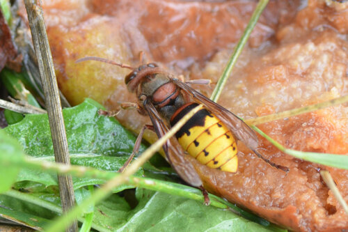
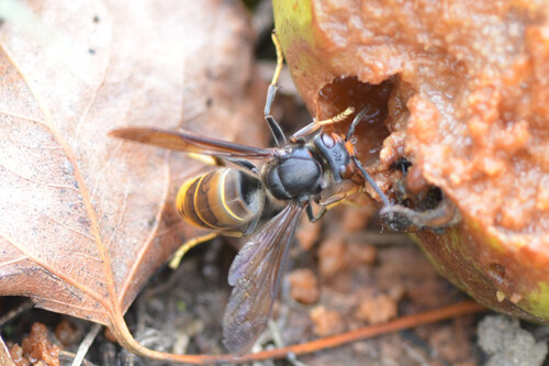
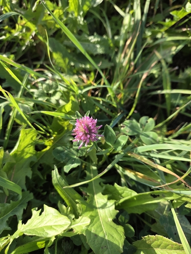
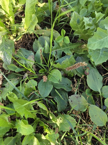
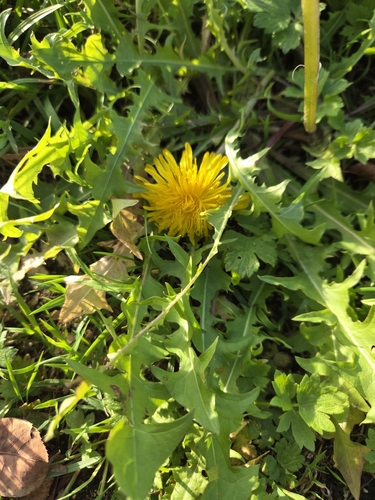
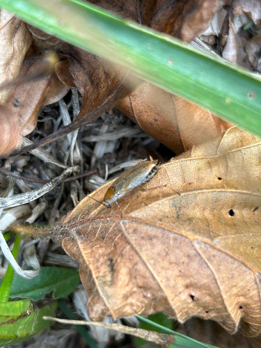
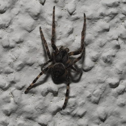
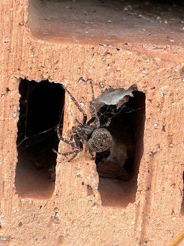
Research-grade observations from iNaturalist (within ~15 mi).
Events
Gallery
Official Identifiers
BFS — Swiss Federal Statistical Office
- BFS-Nr
- 4080
- Population (Wikidata)
- 7,324
- Wikidata
- Q64232
Gemeindenummer via Wikidata P771
Sources
- • Wikipedia
- • USGS Earthquake Catalog (global feed)
- • GBIF (Global Biodiversity Information Facility)
- • iNaturalist
- • Open-Meteo / sunrise-sunset.org
- • Wikipedia Pageviews API
- • Wikidata SPARQL (CC0) — population, area, elevation, inception, head of government, Commons image
- • BFS — Swiss Federal Statistical Office — Gemeindenummer via Wikidata P771