Browse / Switzerland / Zurich / Winterthur
Winterthur
Zurichcity

Winterthur
Total population
108,044
Demographic figures from Swiss Federal Statistical Office. Overview below cites Wikipedia and may reference a different year.
City facts
Facts from Wikidata (CC0).
Overview
Winterthur is a city and municipality in the canton of Zurich in northern Switzerland. With over 120,000 residents, it is the country's sixth-largest city by population, as well as its ninth-largest agglomeration with about 140,000 inhabitants. Located about 20 kilometres (12 mi) northeast of Zurich, Winterthur is a service and high-tech industrial satellite city within Zurich Metropolitan Area. Winterthur is usually abbreviated as Winti in the local dialect.
Read more on WikipediaHistory & geography
History
Vitudurum was a vicus in what is now Oberwinterthur during the Roman era (first century BC to third century AD). It was fortified into a castrum at the end of the third century, apparently in reaction to the incipient Alamannic invasion. There was an Alamannic settlement on the site in the seventh century. In a battle near Winterthur in 919, Burchard II of Swabia asserted his control over the Thurgau within the Duchy of Swabia against the claims of Rudolph II of Burgundy. The counts of Winterthur, a cadet branch of the family of the counts of Bregenz, built Kyburg castle in the tenth century. With the extinction of the counts of Winterthur in 1053, the castle passed to the counts of Dillingen. Winterthur as a city (presumably on the site of a pre-existing village) was founded by Hartmann III of Dillingen in 1180, shortly before his death in the same year. From 1180 to 1263, Winterthur was ruled by the cadet line of the House of Kyburg. When the counts of Kyburg became extinct in the male line in 1263, Winterthur passed to the House of Habsburg, who established a comital line of Neu-Kyburg in 1264 and granted city rights to Winterthur in the same year. From 1415 until 1442 Winterthur was reichsfrei (subject only to the Holy Roman Emperor). However, in the Old Zürich War they lost this freedom and came back under the control of the Austrian Habsburgs. Needing money, in 1467, the Habsburgs sold Winterthur to the city of Zurich. While it was under the leadership of Zurich, Winterthur's economic freedom was restricted. It lost many of its market rights and the right to trade in some goods. This ended in 1798, when Napoleonic troops took the town. On 27 May 1799, it was the site of the Battle of Winterthur between elements of the French Army of the Danube and elements…
Geography
Winterthur is located at an elevation of . The city is located in a basin south and east of the river Töss before it meets the High Rhine after 10 kilometers. The Eulach, a small river, flows from the town's east end through the middle of the town to meet the Töss at the west exit of the city. Because of this the town is colloquially also called "Eulachstadt". Zurich lies about southwest of Winterthur. , Winterthur has an area of ; 24.8% is used for agricultural purposes, 40.4% is forested, 33.6% is settled (buildings or roads) and 1.1% is non-productive (rivers, glaciers or mountains). housing and buildings made up 21.9% of the total area, while transportation infrastructure made up the rest (9%). Of the total unproductive area, water (streams and lakes) made up 0.6% of the area. , 27.6% of the total municipal area was undergoing some type of construction.
Excerpted from the corresponding Wikipedia article (CC BY-SA).
Geography
Coordinates & boundaries from the US Census TIGER/Line shapefiles.
Climate
Air quality
Walkability
Amenities nearby
Wildlife & biodiversity
Most-observed species
- European roe deerCapreolus capreolus (Linnaeus, 1758) · Mammalia42,339
- Meadow BrownManiola jurtina (Linnaeus, 1758) · Insecta21,302
- red foxVulpes vulpes (Linnaeus, 1758) · Mammalia17,613
- Annual FleabaneErigeron annuus (L.) Pers. · Magnoliopsida14,775
- Common BluePolyommatus icarus (von Rottemburg, 1775) · Insecta11,769
- Narrow-leaved RagwortSenecio inaequidens DC. · Magnoliopsida8,421
- Carrion CrowCorvus corone Linnaeus, 1758 · Aves7,765
- hedgehogErinaceus europaeus Linnaeus, 1758 · Mammalia7,513
Citizen-science & research observations from the Global Biodiversity Information Facility (GBIF).
Earthquake history
Most recent
- M 3.7 — 2026-04-264 km N of Quarten, Switzerland
- M 3.5 — 2024-06-271 km SSW of Todtmoos, Germany
- M 4.2 — 2024-06-042 km NNW of Unteriberg, Switzerland
- M 3.4 — 2022-10-16Baden-Wurttemberg, Germany
- M 3.8 — 2022-09-012 km WSW of Sevelen, Switzerland
- M 4 — 2022-07-092 km NNE of Grosselfingen, Germany
Events from the USGS Earthquake Catalog (global) (FDSN Event Web Service).
Photos
Sights & places nearby
Notable people from here


People born within ~10 km, from Wikidata (CC0). Click any name for their Wikipedia article.
Nearby places in Zurich
Geography & sun
Elevation, sunrise/sunset and daylight from Open-Meteo. Solar climatology from NASA POWER.
Nearby airports
Public attention
Pageview totals from the Wikimedia Pageviews API.
Books about Winterthur
![Die Bodenseebahn 1855 - 2005: Romanshorn, Winterthur, Zürich. [Hardcover] [Jan 01, 2005] Bärtschi, Hans-Peter, Adrian Ramsauer und Jürg Hauswirth:](https://covers.openlibrary.org/b/id/8426122-M.jpg)
Search results from Open Library.
Recent natural events nearby
Ground air-quality sensors
Recently spotted species
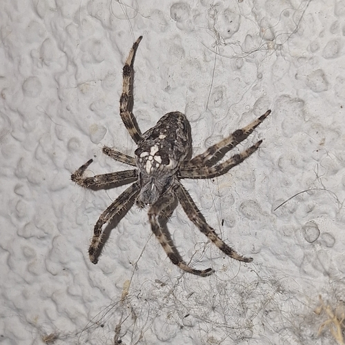
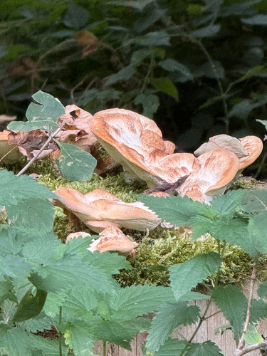
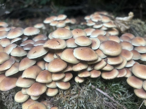
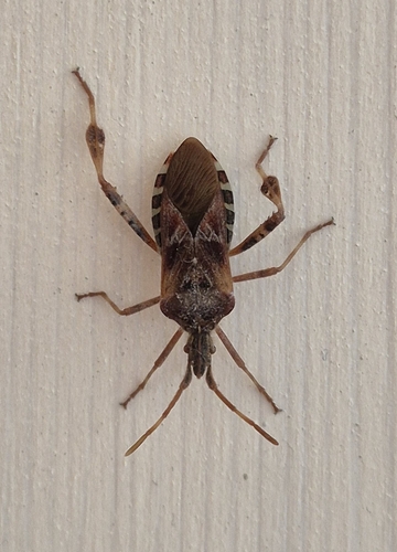
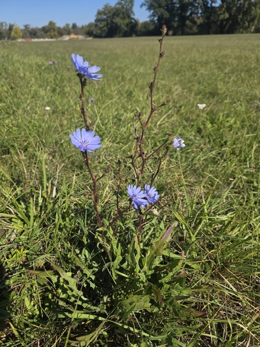
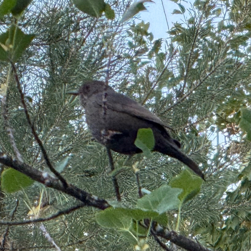
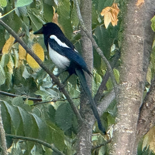
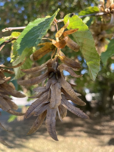
Research-grade observations from iNaturalist (within ~15 mi).
Events
Notable, recurring, and historical events associated with Winterthur, sourced from Wikidata.
- Jan 1, 2021
- Jan 1, 2021
- Jan 1, 2020
- Aug 27, 2010
- Q56222355planned event
Source: Wikidata (CC0).
Gallery
Official Identifiers
BFS — Swiss Federal Statistical Office
- BFS-Nr
- 230
- Population (Wikidata)
- 120,376
- Wikidata
- Q9125
Gemeindenummer via Wikidata P771
Sources
- • Wikipedia
- • Wikidata
- • USGS Earthquake Catalog (global feed)
- • GBIF (Global Biodiversity Information Facility)
- • iNaturalist
- • Open-Meteo / sunrise-sunset.org
- • Wikipedia Pageviews API
- • Open Library
- • Wikidata SPARQL (CC0) — population, area, elevation, inception, head of government, Commons image
- • BFS — Swiss Federal Statistical Office — Gemeindenummer via Wikidata P771