Browse / China / Hong Kong / Yuen Long
Yuen Long
Hong Kongtown

Yuen Long
Demographic figures from National Bureau of Statistics of China. Overview below cites Wikipedia and may reference a different year.
City facts
Overview
Yuen Long is a town in the western north New Territories, Hong Kong. To its west lie Hung Shui Kiu (洪水橋), Tin Shui Wai, Lau Fau Shan and Ha Tsuen, to the south Shap Pat Heung and Tai Tong, to the east Au Tau and Kam Tin (錦田), and to the north Nam Sang Wai.
Read more on WikipediaHistory & geography
History
The earliest market in Yuen Long was south of the main road, near Tai Kei Leng. In 1669, the market was moved north to the area near the present-day Yuen Long station. This area is now known as Yuen Long Kau Hui (元朗舊墟, lit. "old Yuen Long Town"). This market is sited south of a small hill. While it is far from the coast today, it was beside the seashore when the market was first built. Cheung Shing Street, which separates Nam Pin Wai and Sai Pin Wai, divides the centre of the market. Temples were built for worship and to judge disputes. After the British leased the New Territories in 1898, they built Castle Peak Road to connect major areas of the New Territories and Kowloon. The villagers proposed and moved the market town to the main road. After the Second World War, Yuen Long Town dramatically increased in size, going from a small village into a large town known for its numerous cultural and sporting events. The 2019 Yuen Long attack was a mob attack that occurred on 21 July 2019, in Yuen Long, Hong Kong. A mob of over 100 armed men dressed in white indiscriminately attacked civilians on the streets and passengers in the Yuen Long MTR station including the elderly, children, black-clad protesters, journalists and lawmakers. At least 45 people were injured in the incident, including a pregnant woman. The attack happened following an anti-extradition bill protest in Sheung Wan, Hong Kong and was an act perpetrated against the pro-democracy protesters.
Excerpted from the corresponding Wikipedia article (CC BY-SA).
Geography
Coordinates & boundaries from the US Census TIGER/Line shapefiles.
Climate
Air quality
Walkability
Amenities nearby
Wildlife & biodiversity
Earthquake history
Photos
Sights & places nearby
Notable people from here


People born within ~10 km, from Wikidata (CC0). Click any name for their Wikipedia article.
Nearby places in Hong Kong
Geography & sun
Elevation, sunrise/sunset and daylight from Open-Meteo. Solar climatology from NASA POWER.
Nearby airports
Public attention
Pageview totals from the Wikimedia Pageviews API.
Books about Yuen Long


Search results from Open Library.
Recent natural events nearby
Ground air-quality sensors
Recently spotted species
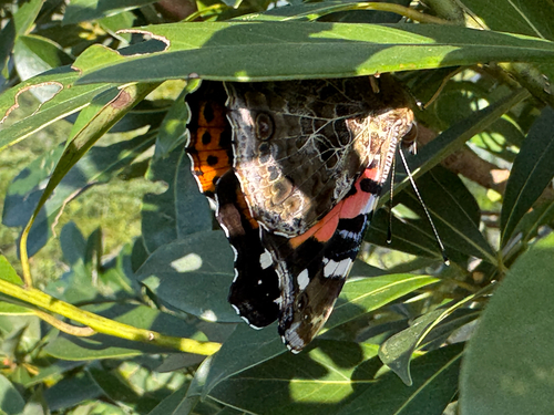
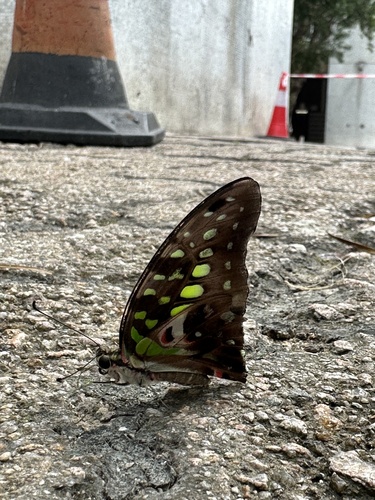
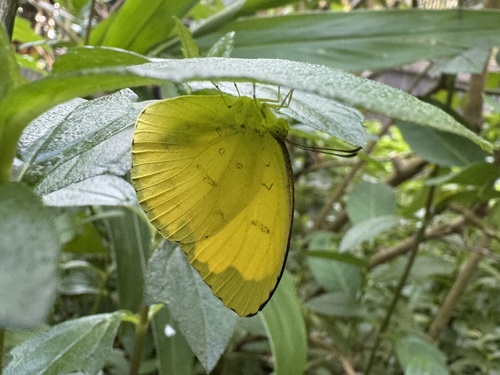
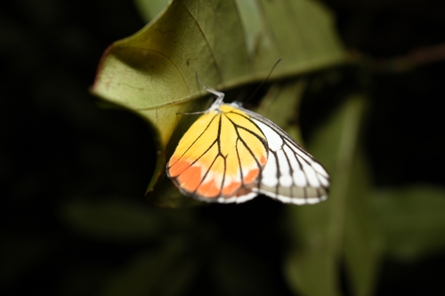
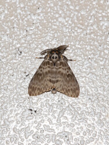
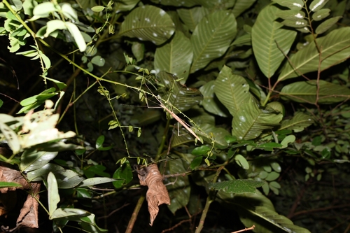
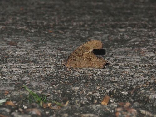
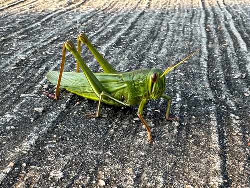
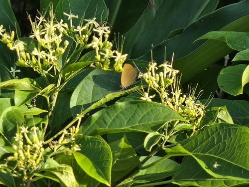
Research-grade observations from iNaturalist (within ~15 mi).
Events
Gallery
Sources
- • Wikipedia
- • Wikidata
- • iNaturalist
- • Open-Meteo / sunrise-sunset.org
- • Wikipedia Pageviews API
- • Open Library