Browse / United States / Colorado / Cripple Creek
Cripple Creek
Coloradocity

Cripple Creek
Total population
955
Median home value
$285,800
Bachelor's+
Median income
$41,840
Demographic figures from US Census Bureau · ACS 5-year estimates. Overview below cites Wikipedia and may reference a different year.
City facts
Facts from Wikidata (CC0).
Overview
Cripple Creek is the statutory city that is the county seat of Teller County, Colorado, United States. The city population was 1,155 at the 2020 United States census. Cripple Creek is a former gold mining camp located 20 miles (32 km) southwest of Colorado Springs near the base of Pikes Peak. The Cripple Creek Historic District, which received National Historic Landmark status in 1961, includes all of the city and the surrounding area. The city is now a part of the Colorado Springs, CO Metropolitan Statistical Area and the Front Range Urban Corridor.
Read more on WikipediaHistory & geography
History
For many years, Cripple Creek's high valley, at an elevation of , was considered no more important than a cattle pasture. Many prospectors avoided the area after the Mount Pisgah hoax, a mini gold rush caused by salting (adding gold to worthless rock). On October 20, 1890, Robert Miller "Bob" Womack discovered a rich ore and the last great Colorado gold rush began. By July 1891, a post office was established. By November, hundreds of prospectors were camping in the area. Rather than investing in mines, Denver realtors Horace Bennett and Julius Myers sought wealth by platting 80 acres of land for a townsite which they named Fremont. The town consisted of 30 platted blocks containing 766 lots. Each lot sold for $25 and $50 for corner lots. Within a year, the lots value increased and sold for at least $250 each. Months later, investors from Colorado Springs platted 140 acres near Fremont and called their town Hayden Placer. Bennett and Myers filed another plat near the Broken Box Ranch and named it Cripple Creek. The towns’ combined population totalled 600-800 people by the end of 1891. In 1892, the Cripple Creek Mining District was created. The Town of Cripple Creek was incorporated on June 9, 1892, From 1892, Bennett and Myers oversaw the Fremont Electric Light and Power Company. The district's first telephone was established in 1893. Thousands of prospectors flocked to the district, and before long Winfield Scott Stratton located the famous Independence lode, one of the largest gold strikes in history. In three years, the population increased from five hundred to ten thousand. The Palace Hotel and the Windsor Hotel were so full that chairs were rented out to be slept on for $1 a night. Although $500 million worth of gold ore was dug from Cripple Creek and more than 30…
Geography
The gold-bearing area of the Cripple Creek district was the core of an ancient volcano within the central Colorado volcanic field, last active over 30 million years ago during the Oligocene. Free or native gold was found near the surface but at depth unoxidized gold tellurides and sulfides were found. At the 2020 United States census, the town had a total area of , all of it land.
Excerpted from the corresponding Wikipedia article (CC BY-SA).
Demographics & economy
Race & ethnicity
Source: US Census Bureau — American Community Survey, 5-year estimates.
Geography
Coordinates & boundaries from the US Census TIGER/Line shapefiles.
Climate
Current forecast
Forecast for Cripple Creek, CO from NOAA NWS API.
Air quality
Industrial & pollution facilities
Natural hazard risk
Health (adults)
Age-adjusted prevalence estimates from CDC PLACES (latest release).
Walkability
Amenities nearby
Wildlife & biodiversity
Most-observed species
- Common RavenCorvus corax Linnaeus, 1758 · Aves2,045
- Mountain ChickadeePoecile gambeli (Ridgway, 1886) · Aves1,982
- Dark-eyed JuncoJunco hyemalis (Linnaeus, 1758) · Aves1,922
- Steller's JayCyanocitta stelleri (Gmelin, 1788) · Aves1,734
- American CrowCorvus brachyrhynchos C.L.Brehm, 1822 · Aves1,485
- American RobinTurdus migratorius Linnaeus, 1766 · Aves1,268
- Pygmy NuthatchSitta pygmaea Vigors, 1839 · Aves1,190
- Black-billed MagpiePica hudsonia (Sabine, 1823) · Aves1,112
Citizen-science & research observations from the Global Biodiversity Information Facility (GBIF).
Schools
Earthquake history
Photos
Sights & places nearby
Notable people from here
Nearby places in Colorado
- Midland7.1 mi away · pop. 182
- Manitou Springs16.5 mi away · pop. 4,735
- Woodland Park18.7 mi away · pop. 7,949
- Rock Creek Park19.1 mi away · pop. 97
- Cañon City21.1 mi away · pop. 17,122
- Stratmoor22 mi away · pop. 5,412
- Lincoln Park22.3 mi away · pop. 3,986
- Colorado Springs24.3 mi away · pop. 493,540
- Air Force Academy24.3 mi away · pop. 6,727
- Florence25.8 mi away · pop. 3,885
- Coal Creek26.7 mi away · pop. 324
- Gleneagle28 mi away · pop. 6,440
Geography & sun
Elevation, sunrise/sunset and daylight from Open-Meteo. Solar climatology from NASA POWER.
Nearby airports
Public attention
Pageview totals from the Wikimedia Pageviews API.
Books about Cripple Creek


Search results from Open Library.
Recent natural events nearby
- Wildfire Post, Las Animas, ColoradoWildfires · 2026-08-11 · 122 mi
- Wildfire Swiss Roll, Archuleta, ColoradoWildfires · 2026-08-20 · 128 mi
- Wildfire Sheep Pen, Las Animas, ColoradoWildfires · 2026-08-12 · 155 mi
- Wildfire 310, Garfield, ColoradoWildfires · 2026-08-06 · 158 mi
- Wildfire LAUGHLIN, Colfax, New MexicoWildfires · 2026-08-25 · 159 mi
- Wildfire Rabbit Ear East, Union, New MexicoWildfires · 2026-08-24 · 191 mi
- Wildfire Frijoles, Santa Fe, New MexicoWildfires · 2026-08-05 · 199 mi
- Wildfire Moonshine, Albany, WyomingWildfires · 2026-09-07 · 222 mi
Wildfires, storms and other events from NASA EONET (last 12 months, within 250 mi).
Ground air-quality sensors
Recently spotted species
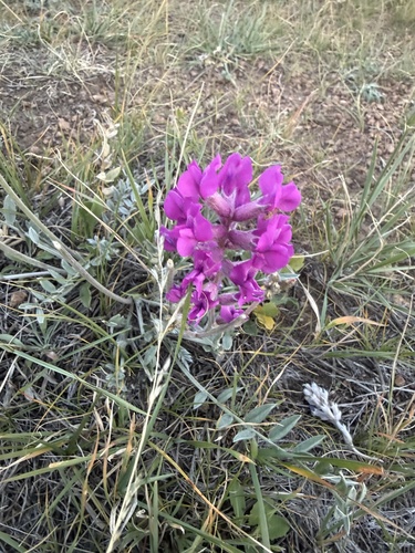
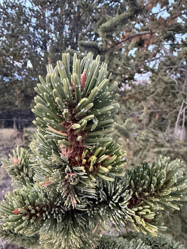
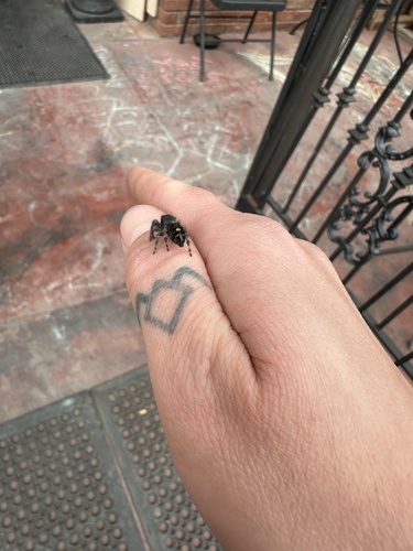
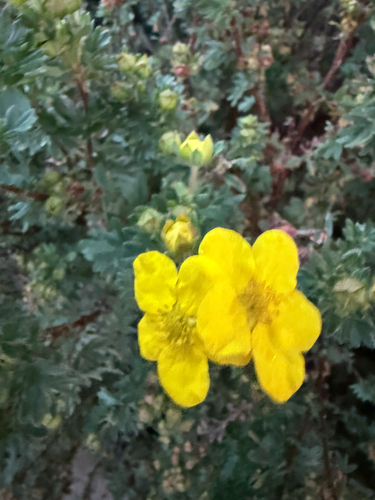
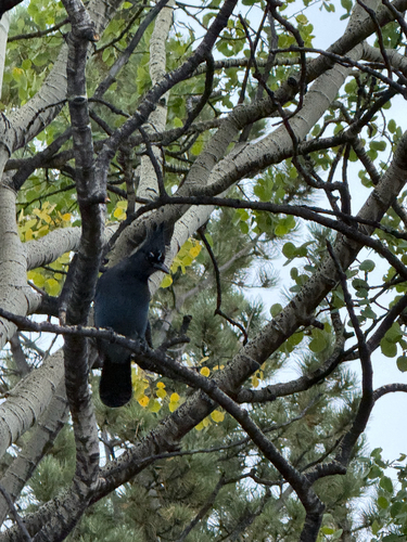
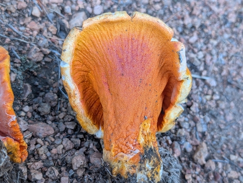
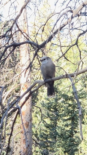
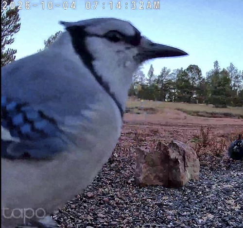
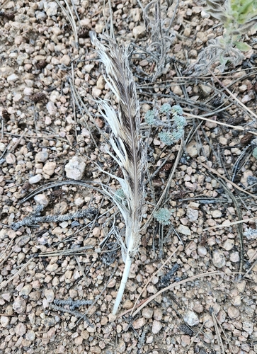
Research-grade observations from iNaturalist (within ~15 mi).
Nearest stream gauge
Live readings from USGS NWIS · measured 2026-10-14 05:45 UTC.
Events
Gallery
Sources
- • Wikipedia
- • US Census Bureau (ACS 5-year estimates)
- • NOAA National Weather Service
- • Wikidata
- • USGS NWIS (water data)
- • GBIF (Global Biodiversity Information Facility)
- • iNaturalist
- • CDC PLACES
- • Open-Meteo / sunrise-sunset.org
- • Wikipedia Pageviews API
- • Open Library
- • NASA EONET