Browse / United States / Connecticut / Mystic
Mystic
ConnecticutCDP

Mystic
Total population
4,483
Median home value
$538,800
Bachelor's+
Median income
$152,559
Demographic figures from US Census Bureau · ACS 5-year estimates. Overview below cites Wikipedia and may reference a different year.
City facts
Facts from Wikidata (CC0).
Overview
Mystic is a village and census-designated place (CDP) in Groton and Stonington, Connecticut.
Read more on WikipediaHistory & geography
History
Before the 17th century, the Pequot people lived in this portion of southeastern Connecticut. They were in control of a considerable amount of territory, extending toward the Pawcatuck River to the east and the Connecticut River to the west. To the northwest, the Five Nations of the Iroquois dominated the land linked by the Great Lakes and the Hudson River, allowing trading to occur between the Iroquois and the Dutch. The Pequots were settled just distant enough to be secure from any danger that the Iroquois posed. The Pequot War profoundly affected the Mystic area between 1636 and 1638. In May 1637, captains John Underhill and John Mason led a mission through Narragansett land, along with their allies the Narragansetts and Mohegans, and struck the Pequot Indian settlement in Mystic in the event which came to be known as the Mystic massacre. On September 21, 1638, the colonists signed the Treaty of Hartford, officially ending the Pequot War. Pequot control of the Mystic area ended after the Pequot War, and English settlements increased. By the 1640s, Connecticut Colony began to grant land to the Pequot War veterans. John Winthrop the Younger was among those to receive property, much of which was in southeastern Connecticut. Other early settlers in the Mystic area included Robert Burrows and George Denison, who held land in the Mystic River Valley. Settlement grew slowly. The Connecticut government and Massachusetts Bay government began to quarrel over boundaries, thus causing some conflicting claims concerning governmental authority between the Mystic River and the Pawcatuck River. In the 1640s and 1650s, "Connecticut" referred to settlements located along the Connecticut River, as well as its claims in other parts of the region. Massachusetts Bay, however,…
Geography
According to the United States Census Bureau, the CDP has a total area of , of which is land and , or 10.6%, is water. The village is on the east and west bank of the estuary of the Mystic River. Mason's Island (Pequot language: Chippachaug) fills the south end of the estuary. Most of the bedrock of Mystic is "gneissic, crystalline terrane extending from eastern Massachusetts through western Rhode Island and across southeastern Connecticut north of Long Island Sound," according to geologist Richard Goldsmith.
Excerpted from the corresponding Wikipedia article (CC BY-SA).
Demographics & economy
Race & ethnicity
Source: US Census Bureau — American Community Survey, 5-year estimates.
Geography
Coordinates & boundaries from the US Census TIGER/Line shapefiles.
Climate
Current forecast
Forecast for Mystic, CT from NOAA NWS API.
Air quality
Industrial & pollution facilities
Natural hazard risk
Health (adults)
Age-adjusted prevalence estimates from CDC PLACES (latest release).
Walkability
Amenities nearby
Wildlife & biodiversity
Most-observed species
- American herring gull, Smithsonian GullLarus smithsonianus Coues, 1862 · Aves17,997
- Song SparrowMelospiza melodia (A.Wilson, 1810) · Aves15,613
- Northern CardinalCardinalis cardinalis (Linnaeus, 1758) · Aves12,660
- Carolina WrenThryothorus ludovicianus (Latham, 1790) · Aves11,990
- American CrowCorvus brachyrhynchos C.L.Brehm, 1822 · Aves11,872
- Black-capped ChickadeePoecile atricapillus (Linnaeus, 1766) · Aves11,587
- Double-crested CormorantPhalacrocorax auritus (Lesson, 1831) · Aves11,412
- American RobinTurdus migratorius Linnaeus, 1766 · Aves11,133
Citizen-science & research observations from the Global Biodiversity Information Facility (GBIF).
Schools
Largest nearby schools
- Robert E. Fitch High SchoolHigh · Groton · 1,005 students · 10.6:1 ratio
- Groton Middle SchoolMiddle · Groton · 907 students · 11.8:1 ratio
- Ledyard High SchoolHigh · Ledyard · 743 students · 11.8:1 ratio
- Waterford High SchoolHigh · Waterford · 735 students · 11.3:1 ratio
- Ella T. Grasso Technical High SchoolHigh · Groton · 654 students · 13.6:1 ratio
- Gallup Hill SchoolElementary · Ledyard · 618 students · 13.4:1 ratio
- Stonington High SchoolHigh · Pawcatuck · 585 students · 11.5:1 ratio
- Clark Lane Middle SchoolMiddle · Waterford · 549 students · 13.1:1 ratio
Public K–12 schools within ~10 mi from Urban Institute Education Data Portal (NCES Common Core of Data, 2022).
Earthquake history
Most recent
- M 3.6 — 2020-11-0810 km S of Bliss Corner, Massachusetts
- M 2.6 — 2015-01-132 km E of Wauregan, Connecticut
- M 3.3 — 2015-01-120 km NE of Wauregan, Connecticut
- M 2.66 — 2014-08-146 km SW of Deep River Center, Connecticut
- M 2.5 — 2002-06-073 km NNW of Hopedale, Massachusetts
Events from the USGS Earthquake Catalog (global) (FDSN Event Web Service).
Photos
Sights & places nearby
Notable people from here
Nearby places in Connecticut
- Poquonock Bridge3.2 mi away
- Conning Towers-Nautilus Park6 mi away
- Mashantucket7.6 mi away · pop. 86
- Jewett City17.4 mi away · pop. 3,429
- Deep River Center25.2 mi away · pop. 2,407
- Moosup25.3 mi away · pop. 2,885
- Willimantic28.2 mi away
- East Hampton31.3 mi away · pop. 3,347
- Terramuggus32.9 mi away
- Coventry Lake35.2 mi away · pop. 2,647
- Portland37.6 mi away · pop. 5,944
- Durham38.6 mi away · pop. 3,347
Geography & sun
Elevation, sunrise/sunset and daylight from Open-Meteo. Solar climatology from NASA POWER.
Nearby airports
Public attention
Pageview totals from the Wikimedia Pageviews API.
Books about Mystic


Search results from Open Library.
Recent natural events nearby
Ground air-quality sensors
Recently spotted species
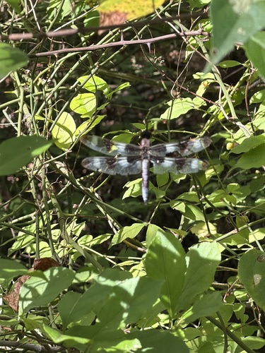
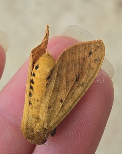
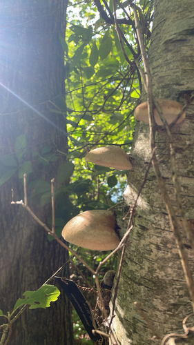
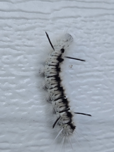
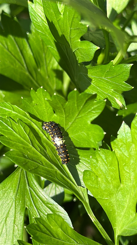

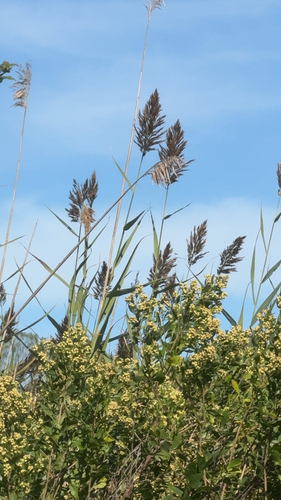
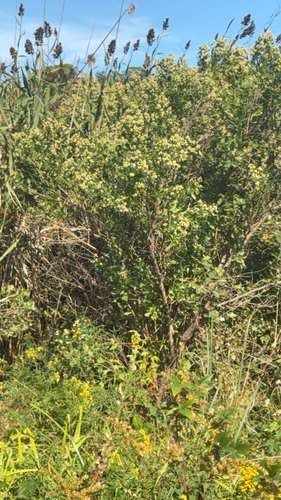
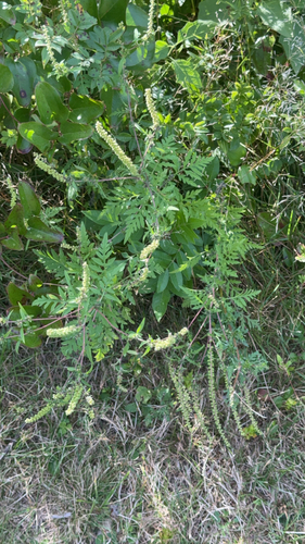
Research-grade observations from iNaturalist (within ~15 mi).
Nearest stream gauge
Events
Gallery
Sources
- • Wikipedia
- • US Census Bureau (ACS 5-year estimates)
- • NOAA National Weather Service
- • Wikidata
- • USGS Earthquake Catalog (global feed)
- • NCES via Urban Institute Education Data Portal
- • GBIF (Global Biodiversity Information Facility)
- • iNaturalist
- • CDC PLACES
- • Open-Meteo / sunrise-sunset.org
- • Wikipedia Pageviews API
- • Open Library