Browse / Cabo Verde / São Domingos / Cabeça da Horta
Cabeça da Horta
São Domingosvillage

Cabeça da Horta
Demographic figures from INE Cabo Verde. Overview below cites Wikipedia and may reference a different year.
City facts
Overview
Milho Branco is a village in the southeastern part of the island of Santiago, Cape Verde. It is situated 2 km north of Ribeirão Chiqueiro, 5 km east of the city São Domingos and 12 km north of the capital Praia. The national road EN1-ST02 from Ribeirão Chiqueiro to Tarrafal via Pedra Badejo passes through the village. It is part of the municipality of São Domingos. In 2010 its population was 607.
Read more on WikipediaHistory & geography
Geography
Coordinates & boundaries from the US Census TIGER/Line shapefiles.
Climate
Air quality
Walkability
Amenities nearby
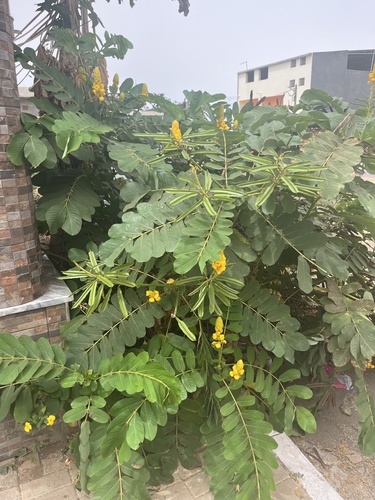
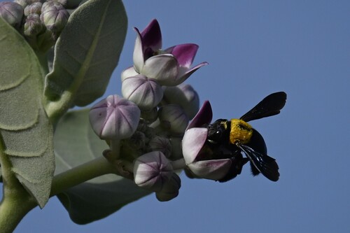
Wildlife & biodiversity
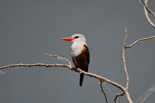
Most-observed species
- Yellow fever mosquitoAedes aegypti (Linnaeus, 1762) · Insecta1,920
- Northern House MosquitoCulex pipiens Linnaeus, 1758 · Insecta1,920
- Gray-headed KingfisherHalcyon leucocephala (P.L.S.Müller, 1776) · Aves724
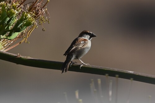
- Cape Verde SparrowPasser iagoensis (Gould, 1838) · Aves607
- Cattle EgretBubulcus ibis (Linnaeus, 1758) · Aves447
- Eurasian Collared-DoveStreptopelia decaocto (Frivaldszky, 1838) · Aves399
- Spanish SparrowPasser hispaniolensis (Temminck, 1820) · Aves390
- Rock PigeonColumba livia J.F.Gmelin, 1789 · Aves375
Citizen-science & research observations from the Global Biodiversity Information Facility (GBIF).
Earthquake history
Events from the USGS Earthquake Catalog (global) (FDSN Event Web Service).
Photos
Sights & places nearby
Notable people from here

People born within ~10 km, from Wikidata (CC0). Click any name for their Wikipedia article.
Nearby places in São Domingos
Geography & sun
Elevation, sunrise/sunset and daylight from Open-Meteo. Solar climatology from NASA POWER.
Nearby airports
Public attention
Pageview totals from the Wikimedia Pageviews API.
Books about this place
Recent natural events nearby
Ground air-quality sensors
Recently spotted species
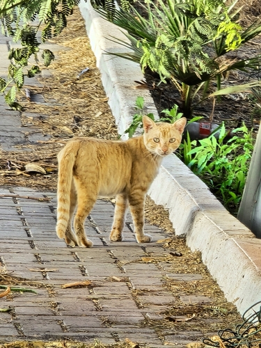
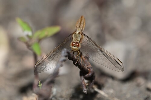
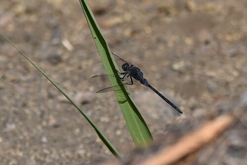
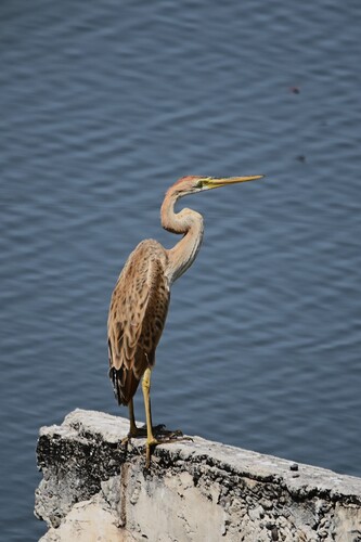
Research-grade observations from iNaturalist (within ~15 mi).
Events
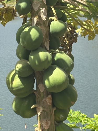
Gallery
Sources
- • Wikipedia
- • Wikidata
- • USGS Earthquake Catalog (global feed)
- • GBIF (Global Biodiversity Information Facility)
- • iNaturalist
- • Open-Meteo / sunrise-sunset.org
- • Wikipedia Pageviews API