Browse / Czechia / Zlín / Březolupy
Březolupy
Zlínvillage

Březolupy
Total population
1,548
Demographic figures from Czech Statistical Office. Overview below cites Wikipedia and may reference a different year.
City facts
Facts from Wikidata (CC0).
Overview
Březolupy is a municipality and village in Uherské Hradiště District in the Zlín Region of the Czech Republic. It has about 1,700 inhabitants.
Read more on WikipediaHistory & geography
History
The first written mention of Březolupy is from 1261, when it was owned by the Smilheim monastery in Vizovice. At the end of the 14th century, the village was divided into several parts with different owners. In 1480, the Lords of Šarov bought all the parts and united the estate. In 1496, they sold the estate to the Lords of Kunštát. Březolupy was burned down several times in the first half of the 17th century, during the Bocskai uprising and Thirty Years' War. The village was also damaged by the Turkish raid in 1663, by the Kuruc uprising in 1683, and by the Rákóczi's War of Independence in 1703–1706. In 1650–1687, Březolupy was owned by the Horecký family. From 1687 to 1733, it was a property of the Forgách family. After it changed hands several times, the village was bought by the Bucquoy family in 1756. They owned it until 1788.
Excerpted from the corresponding Wikipedia article (CC BY-SA).
Geography
Coordinates & boundaries from the US Census TIGER/Line shapefiles.
Climate
Air quality
Walkability
Amenities nearby
Wildlife & biodiversity
Earthquake history
Photos
Sights & places nearby
Notable people from here
Nearby places in Zlín
- Uherské Hradiště6.3 mi away · pop. 21,737
- Ostrata13.3 mi away · pop. 346
- Hulín14.5 mi away · pop. 7,151
- Karlovice18.4 mi away · pop. 139
- Castelvetere in Val Fortore545.8 mi away · pop. 1,810
- San Bartolomeo in Galdo547.1 mi away · pop. 5,841
- Foiano di Val Fortore551.5 mi away · pop. 1,551
- Santa Croce del Sannio551.9 mi away · pop. 1,067
- Montefalcone di Val Fortore552.9 mi away · pop. 1,837
- Sassinoro553.6 mi away · pop. 646
- Letino553.8 mi away · pop. 783
- Castelfranco in Miscano554 mi away · pop. 1,065
Geography & sun
Elevation, sunrise/sunset and daylight from Open-Meteo. Solar climatology from NASA POWER.
Nearby airports
Public attention
Pageview totals from the Wikimedia Pageviews API.
Books about this place
Recent natural events nearby
Ground air-quality sensors
Recently spotted species
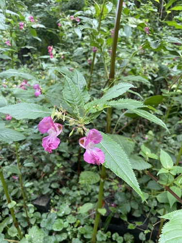
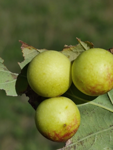
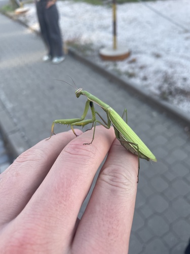
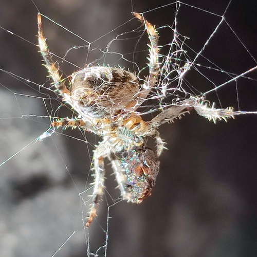
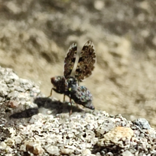
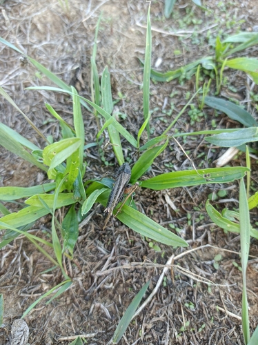

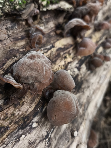
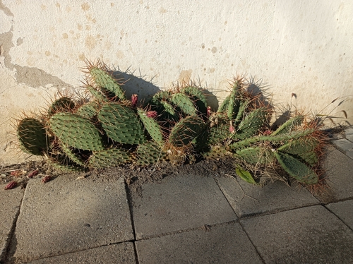
Research-grade observations from iNaturalist (within ~15 mi).
Events
Gallery
Official Identifiers
ČSÚ — Czech Statistical Office
- RÚIAN code
- CZ592081
- Population (Wikidata)
- 1,715
- Wikidata
- Q1022185
RÚIAN obec ID via Wikidata P782
Sources
- • Wikipedia
- • Wikidata
- • iNaturalist
- • Open-Meteo / sunrise-sunset.org
- • Wikipedia Pageviews API
- • Wikidata SPARQL (CC0) — population, area, elevation, inception, head of government, Commons image
- • ČSÚ — Czech Statistical Office — RÚIAN obec ID via Wikidata P782