Browse / Czechia / Zlín / Uherské Hradiště
Uherské Hradiště
Zlíntown

Uherské Hradiště
Total population
21,737
Air quality index
Demographic figures from Czech Statistical Office. Overview below cites Wikipedia and may reference a different year.
City facts
Facts from Wikidata (CC0).
Overview
Uherské Hradiště is a town in the Zlín Region of the Czech Republic. It has about 25,000 inhabitants. The agglomeration with the two neighbouring towns of Staré Město and Kunovice has over 37,000 inhabitants. Uherské Hradiště is located on the left bank of the Morava River.
Read more on WikipediaHistory & geography
History
A predecessor of Uherské Hradiště was a settlement and fortification system on three island in the Morava River, founded by Slavic tribes in the early 9th century. The settlement disappeared after the fall of the Great Moravian Empire. The town of was founded in 1257 by King Ottokar II to protect the nearby monastery in Velehrad. It was originally named Nový Velehrad ('new Velehrad') and then Hradiště. In 1587, the name Uherské Hradiště was used for the first time. In the 1780s, Uherské Hradiště ceased to function as a fortress. In the mid-19th century, the town began to expand beyond the walls. Construction growth continued in the late 19th century when representative building were constructed, and in the early 20th century when industrial companies were founded.
Geography
Uherské Hradiště is located about southwest of Zlín. It creates an urbanistically merged agglomeration with the neighbouring towns of Staré Město and Kunovice. The western part of the municipal territory lies in the Lower Morava Valley and the eastern part in the Vizovice Highlands. The highest point is at above sea level. The town is situated on the left bank of the Morava River, which forms the northern border of the municipal territory. The Olšava River flows through the southern part of the territory.
Excerpted from the corresponding Wikipedia article (CC BY-SA).
Geography
Coordinates & boundaries from the US Census TIGER/Line shapefiles.
Climate
10-year averages from ERA5 reanalysis (Open-Meteo).
Air quality
Current readings from Open-Meteo Air Quality API (Copernicus CAMS European reanalysis).
Walkability
Amenities nearby
Wildlife & biodiversity
Most-observed species
- Great TitParus major Linnaeus, 1758 · Aves802
- Eurasian BlackbirdTurdus merula Linnaeus, 1758 · Aves669
- Barn SwallowHirundo rustica Linnaeus, 1758 · Aves608
- Common Wood-PigeonColumba palumbus Linnaeus, 1758 · Aves497
- House SparrowPasser domesticus (Linnaeus, 1758) · Aves493
- Eurasian Collared-DoveStreptopelia decaocto (Frivaldszky, 1838) · Aves487
- Black RedstartPhoenicurus ochruros (S.G.Gmelin, 1774) · Aves485
- Common ChaffinchFringilla coelebs Linnaeus, 1758 · Aves466
Citizen-science & research observations from the Global Biodiversity Information Facility (GBIF).
Earthquake history
Most recent
- M 2.8 — 2018-08-171 km ENE of Tren?ianske Teplice, Slovakia
- M 2.5 — 2007-11-152 km N of Morávka, Czechia
- M 3.6 — 2006-03-135 km NNW of Leopoldov, Slovakia
- M 3.1 — 2006-03-093 km SSW of Tren?ianske Teplice, Slovakia
- M 2.6 — 2005-12-315 km ENE of Šternberk, Czechia
- M 2.6 — 2005-05-070 km NNW of Sviadnov, Czechia
Events from the USGS Earthquake Catalog (global) (FDSN Event Web Service).
Photos
Sights & places nearby
Notable people from here
Nearby places in Zlín
- Kunovice1.8 mi away · pop. 5,152
- Uherský Ostroh6.7 mi away · pop. 3,959
- Nivnice10.3 mi away · pop. 3,236
- Kvasice12 mi away · pop. 2,285
- Řetechov13.5 mi away · pop. 215
- Koryčany13.9 mi away · pop. 2,047
- Zlín14.2 mi away · pop. 72,973
- Nětčice14.3 mi away · pop. 186
- Bojkovice15.9 mi away · pop. 3,949
- Kroměříž16.3 mi away · pop. 26,954
- Hulín17.2 mi away · pop. 7,151
- Holešov19 mi away · pop. 10,669
Geography & sun
Elevation, sunrise/sunset and daylight from Open-Meteo. Solar climatology from NASA POWER.
Nearby airports
Public attention
Pageview totals from the Wikimedia Pageviews API.
Books about Uherské Hradiště
Search results from Open Library.
Recent natural events nearby
Ground air-quality sensors
Recently spotted species
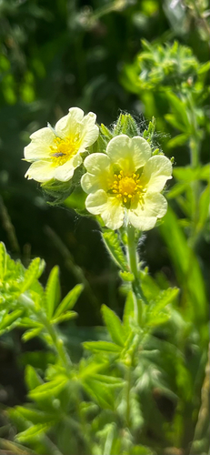
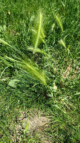
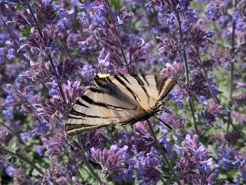
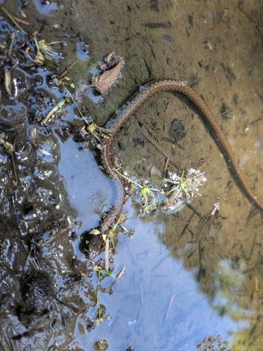
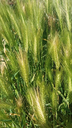
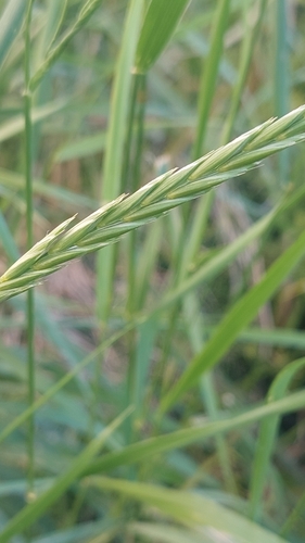
Research-grade observations from iNaturalist (within ~15 mi).
Events
Gallery
Official Identifiers
ČSÚ — Czech Statistical Office
- RÚIAN code
- CZ592005
- Population (Wikidata)
- 24,887
- Wikidata
- Q502993
RÚIAN obec ID via Wikidata P782
Sources
- • Wikipedia
- • Open-Meteo (ERA5 reanalysis)
- • Wikidata
- • Open-Meteo Air Quality (CAMS)
- • USGS Earthquake Catalog (global feed)
- • GBIF (Global Biodiversity Information Facility)
- • iNaturalist
- • Open-Meteo / sunrise-sunset.org
- • Wikipedia Pageviews API
- • Open Library
- • Wikidata SPARQL (CC0) — population, area, elevation, inception, head of government, Commons image
- • ČSÚ — Czech Statistical Office — RÚIAN obec ID via Wikidata P782