Browse / Czechia / Zlín / Kunovice
Kunovice
Zlíntown

Kunovice
Total population
5,152
Demographic figures from Czech Statistical Office. Overview below cites Wikipedia and may reference a different year.
City facts
Facts from Wikidata (CC0).
Overview
Kunovice is a town in Uherské Hradiště District in the Zlín Region of the Czech Republic. It has about 5,600 inhabitants. The town is located on the Olšava River, on the border between the Vizovice Highlands and Lower Morava Valley. It is known for the aircraft manufacturer Aircraft Industries and the private international Kunovice Airport.
Read more on WikipediaHistory & geography
History
The first written mention of Kunovice is from 1196. Until the establishment of Uherské Hradiště in the mid-13th century, it was an important administrative centre and defensive point with a castle. From the beginning of the 15th century, Kunovice was referred to as a market town. In the 1930s, when an Avia factory was established, Kunovice began to transform from an agriculture community to an industrial one. In 1949–1954 and 1972–1990, Kunovice was a municipal part of Uherské Hradiště. Kunovice gained the town status in 1997.
Geography
Kunovice forms a conurbation with neighbouring Uherské Hradiště. It lies on the border between the Vizovice Highlands and Lower Morava Valley. The highest point is the hill Hluboček at above sea level. The Olšava River flows through the town and then flows into the Morava, which forms the northern border of the municipal territory.
Excerpted from the corresponding Wikipedia article (CC BY-SA).
Geography
Coordinates & boundaries from the US Census TIGER/Line shapefiles.
Climate
Air quality
Walkability
Amenities nearby
Wildlife & biodiversity
Earthquake history
Photos
Sights & places nearby
Notable people from here


People born within ~10 km, from Wikidata (CC0). Click any name for their Wikipedia article.
Nearby places in Zlín
- Uherské Hradiště1.8 mi away · pop. 21,737
- Hulín19 mi away · pop. 7,151
- Ostrata20.9 mi away · pop. 346
- Karlovice23.7 mi away · pop. 139
- Castelvetere in Val Fortore539.2 mi away · pop. 1,810
- San Bartolomeo in Galdo540.6 mi away · pop. 5,841
- Foiano di Val Fortore544.9 mi away · pop. 1,551
- Santa Croce del Sannio545.3 mi away · pop. 1,067
- Montefalcone di Val Fortore546.3 mi away · pop. 1,837
- Letino547 mi away · pop. 783
- Sassinoro547 mi away · pop. 646
- Castelfranco in Miscano547.5 mi away · pop. 1,065
Geography & sun
Elevation, sunrise/sunset and daylight from Open-Meteo. Solar climatology from NASA POWER.
Nearby airports
Public attention
Pageview totals from the Wikimedia Pageviews API.
Books about this place
Recent natural events nearby
Ground air-quality sensors
Recently spotted species
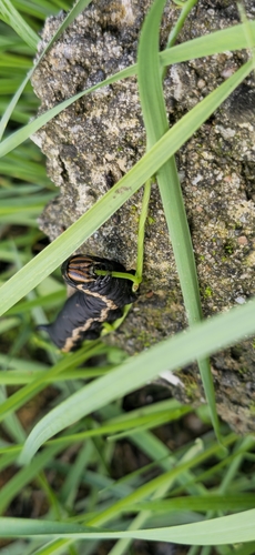

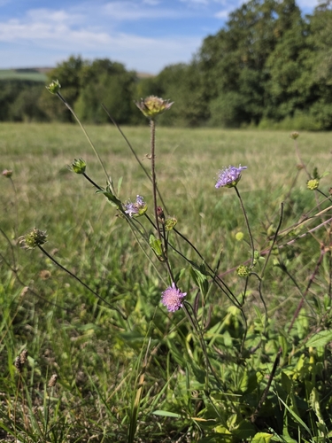
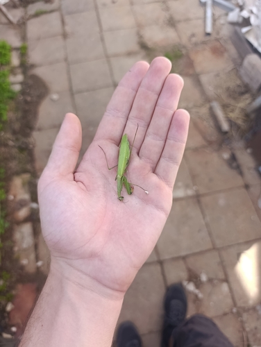
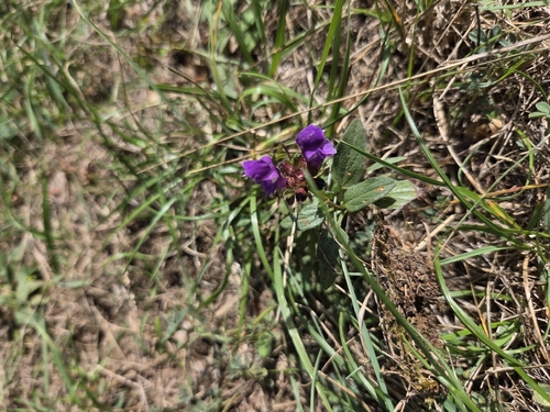
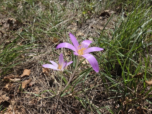
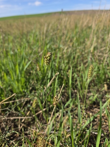
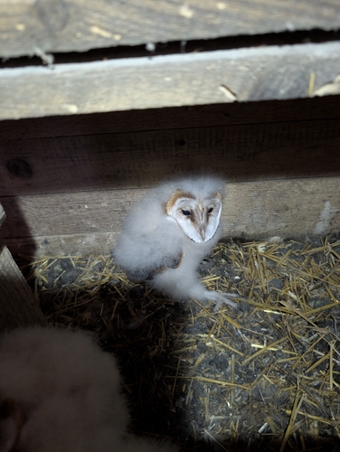
Research-grade observations from iNaturalist (within ~15 mi).
Events
Gallery
Sources
- • Wikipedia
- • Wikidata
- • iNaturalist
- • Open-Meteo / sunrise-sunset.org
- • Wikipedia Pageviews API
- • Wikidata SPARQL (CC0) — population, area, elevation, inception, head of government, Commons image