Browse / Czechia / Zlín / Buchlovice
Buchlovice
Zlínvillage

Buchlovice
Total population
2,448
Demographic figures from Czech Statistical Office. Overview below cites Wikipedia and may reference a different year.
City facts
Facts from Wikidata (CC0).
Overview
Buchlovice is a market town in Uherské Hradiště District in the Zlín Region of the Czech Republic. It has about 2,400 inhabitants. The town is located on the border between the Chřiby highlands and Kyjov Hills.
Read more on WikipediaHistory & geography
History
The first written mention of Buchlovice is in a deed of King Ottokar I from 1207. The Buchlov Castle was first mentioned in 1300. In 1540, Buchlovice was bought by the Zierotin family and joined to the Buchlov estate. In 1805, the village was promoted to a market town by Emperor Francis II.
Geography
Buchlovice is located about west of Uherské Hradiště and southwest of Zlín. It lies on the border between the Chřiby highlands and Kyjov Hills. The highest point is the hill Holý kopec at above sea level. The streams Dlouhá řeka and Buchlovický potok flow through the municipality. Dlouhá řeka supplies the Sovín Reservoir, located south of the built-up area.
Excerpted from the corresponding Wikipedia article (CC BY-SA).
Geography
Coordinates & boundaries from the US Census TIGER/Line shapefiles.
Climate
Air quality
Walkability
Amenities nearby
Wildlife & biodiversity
Earthquake history
Photos
Sights & places nearby
Notable people from here
Nearby places in Zlín
- Uherské Hradiště5.9 mi away · pop. 21,737
- Hulín16.9 mi away · pop. 7,151
- Karlovice22.1 mi away · pop. 139
- Ostrata23.2 mi away · pop. 346
- Castelvetere in Val Fortore540.8 mi away · pop. 1,810
- San Bartolomeo in Galdo542.2 mi away · pop. 5,841
- Foiano di Val Fortore546.5 mi away · pop. 1,551
- Santa Croce del Sannio546.8 mi away · pop. 1,067
- Montefalcone di Val Fortore548 mi away · pop. 1,837
- Letino548.2 mi away · pop. 783
- Sassinoro548.4 mi away · pop. 646
- Capriati a Volturno548.6 mi away · pop. 1,647
Geography & sun
Elevation, sunrise/sunset and daylight from Open-Meteo. Solar climatology from NASA POWER.
Nearby airports
Public attention
Pageview totals from the Wikimedia Pageviews API.
Books about this place
Recent natural events nearby
Ground air-quality sensors
Recently spotted species
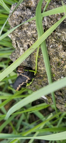
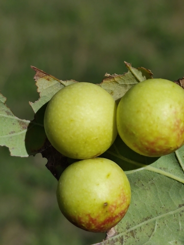
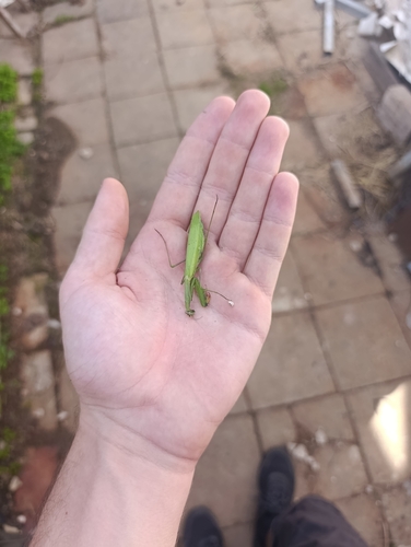
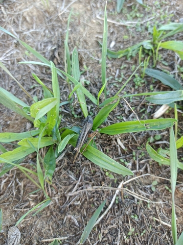
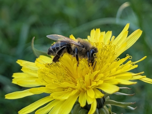
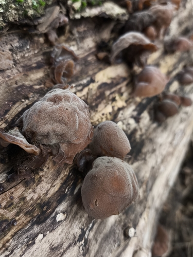
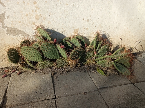
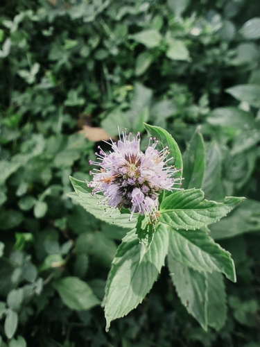
Research-grade observations from iNaturalist (within ~15 mi).
Events
Gallery
Official Identifiers
ČSÚ — Czech Statistical Office
- RÚIAN code
- CZ592102
- Population (Wikidata)
- 2,397
- Wikidata
- Q998679
RÚIAN obec ID via Wikidata P782
Sources
- • Wikipedia
- • Wikidata
- • iNaturalist
- • Open-Meteo / sunrise-sunset.org
- • Wikipedia Pageviews API
- • Wikidata SPARQL (CC0) — population, area, elevation, inception, head of government, Commons image
- • ČSÚ — Czech Statistical Office — RÚIAN obec ID via Wikidata P782