Browse / Czechia / Moravian-Silesian / Darkovice
Darkovice
Moravian-Silesianvillage

Darkovice
Total population
1,217
Demographic figures from Czech Statistical Office. Overview below cites Wikipedia and may reference a different year.
City facts
Facts from Wikidata (CC0).
Overview
Darkovice is a municipality and village in Opava District in the Moravian-Silesian Region of the Czech Republic. It has about 1,400 inhabitants. It is part of the historic Hlučín Region.
Read more on WikipediaHistory & geography
History
The first written mention of Darkovice is in a deed of Pope Innocent IV from 1250, in which it is stated that King Wenceslaus I of Bohemia donated the village to the Cistercian monastery in Velehrad. Before 1265 a new village called Žibřidovice was established near Darkovice, and the oldest pond in the region was established between them. After the death of King Ottokar II, battles for inheritance took place, and Žibřidovice ceased to exist and Darkovice was abandoned during this war. In 1320, Darkovice became part of the Landek estate and was administered by the burgrave Přesek of Lichnov, who restored the village. In 1517, Duke Casimir II attached Darkovice to the Hlučín estate. However, Štěpán of Vrbno split this heritage in 1568. By this act, the village fell into the possession of Karel of Vrbno as a part of the Šilheřovice estate. Darkovice was acquired by the Jesuits from Opava in 1673. Their rule led to a series of rebellions in 1734. From 1742 the village belonged to Prussia after Empress Maria Theresa had been defeated. The corvée was abolished here in 1823, 25 years earlier than in the rest of the Kingdom of Bohemia. In 1920, Darkovice became part of the newly established Czechoslovakia.
Geography
Darkovice is located about east of Opava and north of Ostrava. It lies in the Opava Hilly Land. The highest point is at above sea level.
Excerpted from the corresponding Wikipedia article (CC BY-SA).
Geography
Coordinates & boundaries from the US Census TIGER/Line shapefiles.
Climate
Air quality
Walkability
Amenities nearby
Wildlife & biodiversity
Earthquake history
Photos
Sights & places nearby
Notable people from here


People born within ~10 km, from Wikidata (CC0). Click any name for their Wikipedia article.
Nearby places in Moravian-Silesian
- Darkovičky1.2 mi away · pop. 1,356
- Šilheřovice2.3 mi away · pop. 1,592
- Závada2.8 mi away · pop. 576
- Bělá4.2 mi away · pop. 705
- Bohuslavice4.2 mi away · pop. 1,568
- Bobrovníky4.5 mi away · pop. 1,271
- Jilešovice4.6 mi away · pop. 308
- Antošovice4.6 mi away · pop. 280
- Dolní Benešov5.2 mi away · pop. 3,675
- Děhylov5.3 mi away · pop. 645
- Dobroslavice5.3 mi away · pop. 694
- Vrbice5.6 mi away · pop. 502
Geography & sun
Elevation, sunrise/sunset and daylight from Open-Meteo. Solar climatology from NASA POWER.
Nearby airports
Public attention
Pageview totals from the Wikimedia Pageviews API.
Books about this place
Recent natural events nearby
Ground air-quality sensors
Recently spotted species
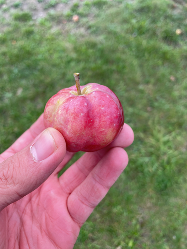
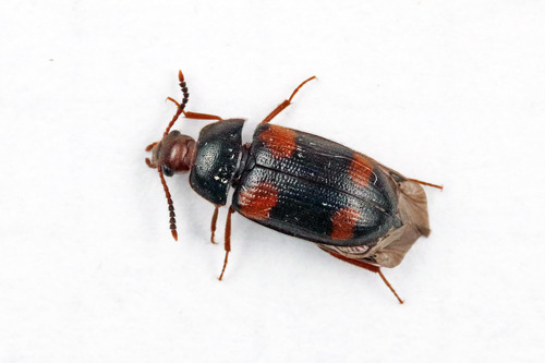
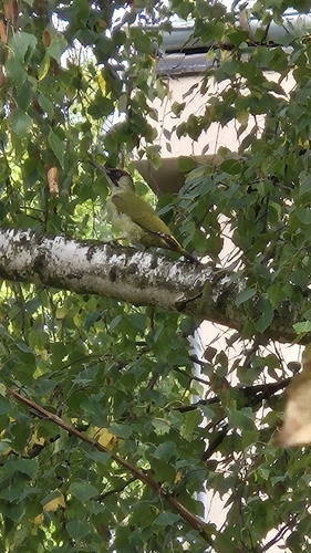
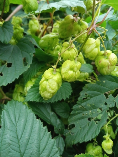
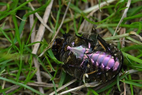
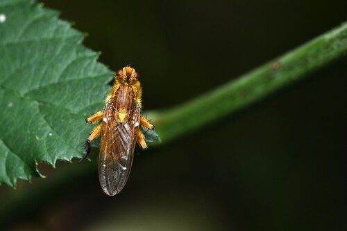
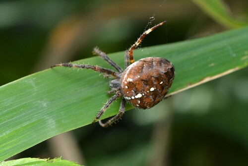
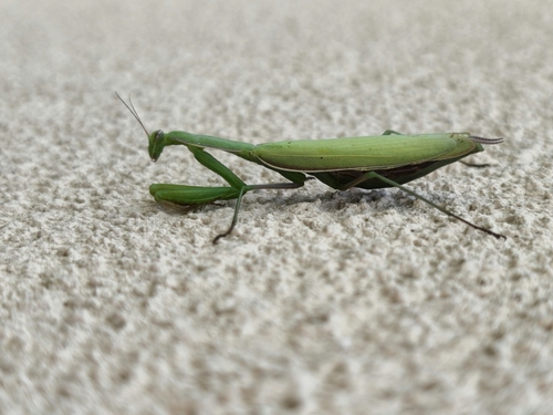
Research-grade observations from iNaturalist (within ~15 mi).
Events
Gallery
Official Identifiers
ČSÚ — Czech Statistical Office
- RÚIAN code
- CZ568228
- Population (Wikidata)
- 1,363
- Wikidata
- Q2248279
RÚIAN obec ID via Wikidata P782
Sources
- • Wikipedia
- • Wikidata
- • iNaturalist
- • Open-Meteo / sunrise-sunset.org
- • Wikipedia Pageviews API
- • Wikidata SPARQL (CC0) — population, area, elevation, inception, head of government, Commons image
- • ČSÚ — Czech Statistical Office — RÚIAN obec ID via Wikidata P782