Browse / Czechia / Moravian-Silesian / Vrbice
Vrbice
Moravian-Silesianvillage

Vrbice
Total population
502
Demographic figures from Czech Statistical Office. Overview below cites Wikipedia and may reference a different year.
City facts
Facts from Wikidata (CC0).
Overview
is a village in Karviná District, Moravian-Silesian Region, Czech Republic. It was a separate municipality but became administratively a part of Bohumín in 1974. It has a population of 472 (2022).
Read more on WikipediaHistory & geography
History
It is one of the oldest villages in Cieszyn Silesia. It was first mentioned in the document of Pope Gregory IX issued in 1229 among villages belonging to Benedictine abbey in Tyniec, as Wierzbica. In 1268 it was bestowed (without an inn) by Władysław Opolski to the newly established Benedictine abbey in Orlová. Politically it belonged then to the Duchy of Opole and Racibórz and Castellany of Cieszyn, which was in 1290 formed in the process of feudal fragmentation of Poland and was ruled by a local branch of Piast dynasty. In 1327 the duchy became a fee of Kingdom of Bohemia, which after 1526 became part of the Habsburg monarchy. After World War I, fall of Austria-Hungary, Polish–Czechoslovak War and the division of Cieszyn Silesia in 1920, the village became a part of Czechoslovakia. Following the Munich Agreement, in October 1938 together with the Zaolzie region it was annexed by Poland, administratively organised in Frysztat County of Silesian Voivodeship. The village was then annexed by Nazi Germany at the beginning of World War II. After the war it was restored to Czechoslovakia.
Excerpted from the corresponding Wikipedia article (CC BY-SA).
Geography
Coordinates & boundaries from the US Census TIGER/Line shapefiles.
Climate
Air quality
Walkability
Amenities nearby
Wildlife & biodiversity
Earthquake history
Photos
Sights & places nearby
Notable people from here


People born within ~10 km, from Wikidata (CC0). Click any name for their Wikipedia article.
Nearby places in Moravian-Silesian
- Antošovice1.5 mi away · pop. 280
- Záblatí2.5 mi away · pop. 2,208
- Rychvald2.9 mi away · pop. 6,769
- Šilheřovice3.6 mi away · pop. 1,592
- Petřvald4.8 mi away · pop. 6,811
- Bobrovníky4.8 mi away · pop. 1,271
- Dolní Lutyně5 mi away · pop. 4,062
- Věřňovice5.2 mi away · pop. 709
- Darkovice5.6 mi away · pop. 1,217
- Darkovičky5.7 mi away · pop. 1,356
- Orlová5.7 mi away · pop. 28,206
- Dětmarovice6.4 mi away · pop. 3,540
Geography & sun
Nearby airports
Public attention
Books about this place
Recent natural events nearby
Ground air-quality sensors
Recently spotted species
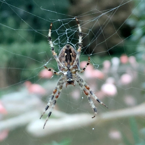
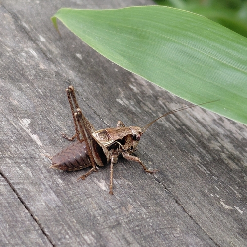
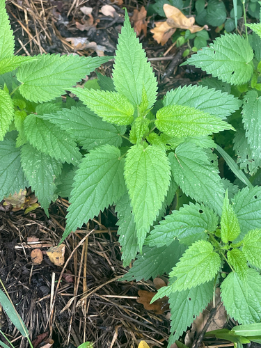
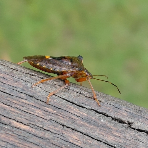
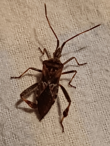
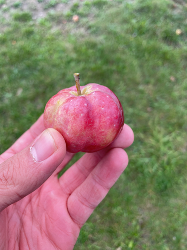
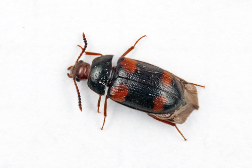
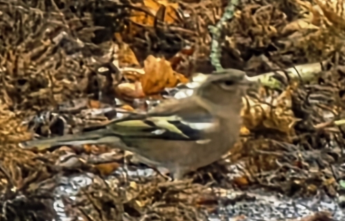
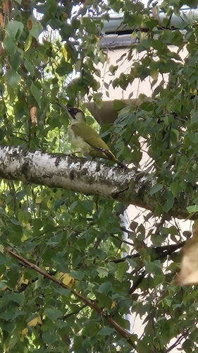
Research-grade observations from iNaturalist (within ~15 mi).
Events
Gallery
Sources
- • Wikipedia
- • Wikidata
- • iNaturalist