Browse / Czechia / Moravian-Silesian / Hlučín
Hlučín
Moravian-Silesiantown

Hlučín
Total population
13,988
Demographic figures from Czech Statistical Office. Overview below cites Wikipedia and may reference a different year.
City facts
Sister cities
Facts from Wikidata (CC0).
Overview
Hlučín is a town in Opava District the Moravian-Silesian Region of the Czech Republic. It has about 13,000 inhabitants.
Read more on WikipediaHistory & geography
History
The first written mention of Hlučín is from 1303, when it was part of the Duchy of Opava. The town was probably founded by King Ottokar II in 1256 to ensure peace on the border between Margraviate of Moravia and Duchy of Opole. Until 1521, Hlučín belonged to the Landek estate within the Duchy of Opava. In 1521, it was acquired by the Piast Dukes of Opole. In the 17th and 18th centuries, the town burned down several times. In 1694, it was liberated of its serfdom. In 1742, after the First Silesian War, the town was given to the Kingdom of Prussia by the Treaty of Berlin. In 1845, the Hlučín estate was bought by the Rothschild family. Four annual fairs were held in the town in the late 19th century. The town was administered by the Prussian Province of Silesia until 1920, when it became part of Czechoslovakia after World War I. The transferral of the Hlučín Region sparked controversy between Germans, Czechs and Poles. By a biased interpretation of the law, the new Czechoslovak authorities banned schooling in German even though that was the language spoken by the majority in the town. After the Munich Agreement in 1938, Hlučín was annexed by Nazi Germany and was again made part of the Province of Silesia, and its Germanised name Hultschin was restored. During World War II, the Germans sent prisoners from the military prison in Kłodzko to forced labour in the town. Hlučín was restored to Czechoslovakia in 1945. German-speaking people were expelled in accordance with the Potsdam Agreement, some Germans left voluntarily. People who were labelled Czechs, even though they were actually Czech-speaking Germans, were spared expulsion.
Geography
Hlučín is located about north of Ostrava and east of Opava. The northern part of the municipal territory lies in the Opava Hilly Land within the Silesian Lowlands and the southern part extends into the eastern tip of the Nízký Jeseník range. Hlučínské jezero is an artificial lake on the outskirts of the town. The Opava River forms the southeastern municipal border.
Excerpted from the corresponding Wikipedia article (CC BY-SA).
Geography
Coordinates & boundaries from the US Census TIGER/Line shapefiles.
Climate
Air quality
Walkability
Amenities nearby
Wildlife & biodiversity
Most-observed species
- DaisyBellis perennis L. · Magnoliopsida8,939
- Ground-ivyGlechoma hederacea L. · Magnoliopsida6,421
- Common NettleUrtica dioica L. · Magnoliopsida3,917
- DandelionTaraxacum officinale Weber ex F.H.Wigg. · Magnoliopsida3,656
- MallardAnas platyrhynchos Linnaeus, 1758 · Aves2,215
- Garlic MustardAlliaria petiolata (M.Bieb.) Cavara & Grande · Magnoliopsida2,102
- Lesser CelandineFicaria verna Huds. · Magnoliopsida2,037
- Norway MapleAcer platanoides L. · Magnoliopsida1,923
Citizen-science & research observations from the Global Biodiversity Information Facility (GBIF).
Earthquake history
Most recent
- M 2.6 — 2026-04-091 km WNW of Radlin, Poland
- M 2.9 — 2025-04-294 km WSW of Bytom, Poland
- M 3.2 — 2025-01-271 km NE of Radlin, Poland
- M 2.9 — 2024-07-114 km N of Jejkowice, Poland
- M 3 — 2023-10-042 km W of Murcki, Poland
- M 2.8 — 2023-01-122 km ENE of Karviná, Czechia
Events from the USGS Earthquake Catalog (global) (FDSN Event Web Service).
Photos
Sights & places nearby
Notable people from here


People born within ~10 km, from Wikidata (CC0). Click any name for their Wikipedia article.
Nearby places in Moravian-Silesian
- Kozmice1.8 mi away · pop. 1,811
- Darkovičky2 mi away · pop. 1,356
- Bobrovníky2 mi away · pop. 1,271
- Jilešovice2.1 mi away · pop. 308
- Děhylov2.2 mi away · pop. 645
- Markvartovice2.3 mi away · pop. 1,770
- Dobroslavice2.3 mi away · pop. 694
- Ludgeřovice2.4 mi away · pop. 4,862
- Darkovice3.1 mi away · pop. 1,217
- Vřesina3.4 mi away · pop. 1,315
- Dolní Benešov3.9 mi away · pop. 3,675
- Hať4.1 mi away · pop. 2,564
Geography & sun
Elevation, sunrise/sunset and daylight from Open-Meteo. Solar climatology from NASA POWER.
Nearby airports
Public attention
Pageview totals from the Wikimedia Pageviews API.
Books about this place
Recent natural events nearby
Ground air-quality sensors
Recently spotted species
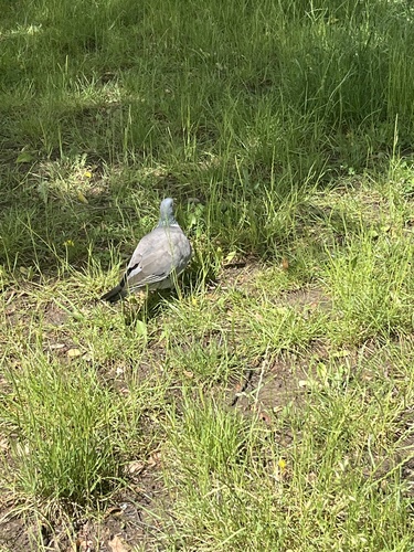
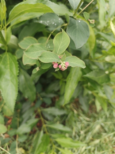
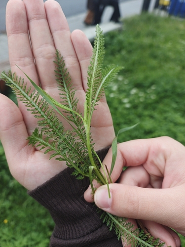
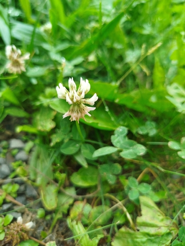

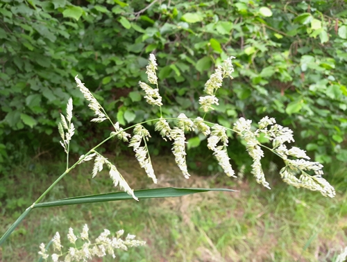
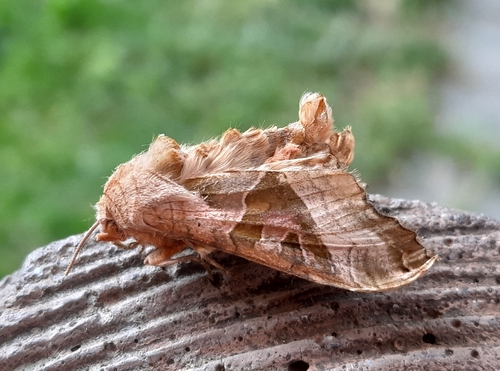
Research-grade observations from iNaturalist (within ~15 mi).
Events
Gallery
Geotagged photos within ~6 miles of Hlučín, from Wikimedia Commons contributors.
 0 mi
0 mi 0 mi
0 mi 0 mi
0 mi 0 mi
0 mi 0 mi
0 mi 0 mi
0 mi 0 mi
0 mi.jpg) 0 mi
0 mi 0 mi
0 mi.jpg) 0 mi
0 mi.jpg) 0 mi
0 mi 0 mi
0 mi 0 mi
0 mi_(2).jpg) 0 mi
0 mi_(3).jpg) 0 mi
0 mi.jpg) 0 mi
0 mi.jpg) 0 mi
0 mi_(9).jpg) 0 mi
0 mi_(12).jpg) 0 mi
0 mi_(13).jpg) 0 mi
0 mi 0 mi
0 mi 0 mi
0 mi 0.1 mi
.jpg) 0.1 mi
0.1 miPhotos via Wikimedia Commons — see each image page for license & attribution.
Official Identifiers
ČSÚ — Czech Statistical Office
- RÚIAN code
- CZ507016
- Population (Wikidata)
- 13,352
- Wikidata
- Q158257
RÚIAN obec ID via Wikidata P782
Sources
- • Wikipedia
- • Wikimedia Commons
- • Wikidata
- • USGS Earthquake Catalog (global feed)
- • GBIF (Global Biodiversity Information Facility)
- • iNaturalist
- • Open-Elevation
- • Open-Meteo / sunrise-sunset.org
- • Wikipedia Pageviews API
- • Wikidata SPARQL (CC0) — population, area, elevation, inception, head of government, Commons image
- • ČSÚ — Czech Statistical Office — RÚIAN obec ID via Wikidata P782