Browse / Czechia / Plzeň / Horažďovice
Horažďovice
Plzeňtown

Horažďovice
Total population
5,344
Demographic figures from Czech Statistical Office. Overview below cites Wikipedia and may reference a different year.
City facts
Facts from Wikidata (CC0).
Overview
Horažďovice is a town in Klatovy District in the Plzeň Region of the Czech Republic. It has about 5,100 inhabitants. The town is located in the valley of the Otava River, on the border between the Blatná Uplands and Bohemian Forest Foothills.
Read more on WikipediaHistory & geography
History
The early history of the territory was influenced by the establishment of the Prácheň gord on the nearby eponymous hill, which became the administrative centre of the historical region of Prácheňsko two centuries later. When the stronghold lost its significance, the centre was moved to Horažďovice. The first written mention of Horažďovice is from 1251. It was a market village located on a trade route from Prague to Bavaria. It was owned by the Bavors of Strakonice, who had a Gothic castle and fortifications built. In 1292, King Wenceslaus II of Bohemia promoted Horažďovice to a town. When Rudolf I of Bohemia was elected the King of Bohemia in 1306, Bavor III disagreed and rebelled against him, leading to him becoming besieged by the king's forces in Horažďovice from late June to early July 1307. Although the town capitulated shortly, the king died of gastrointestinal perforation at the gates of the town on the night of the capitulation. After Horažďovice became property of Půta Švihovský of Rýzmberk in 1483, the town began to develop rapidly and prosper. He initiated development of administrative centres in the town vicinity such as the castles Rabí, Švihov and Velhartice. The prosperity of Horažďovice ended with the Thirty Years' War, when the town was damaged by two large fires and twice looted by the Swedish army. The estate was sold to the Sternberg family in 1622. During their rule, the badly damaged castle was rebuilt and the monastery was enlarged during the Sternbergs rule in the 17th century. The Jews of Horažďovice were subject to orders and decrees that made life extraordinarily difficult throughout much of their entire history. In the 17th century, the number of Jewish residents in Horažďovice was limited to 10 families, partially in an effort to…
Geography
Horažďovice is located about east of Klatovy and southeast of Plzeň. It lies on the border between the Blatná Uplands and Bohemian Forest Foothills. The highest point is the hill Svitník at above sea level. The Otava River flows through the town. The territory is rich in fishponds.
Excerpted from the corresponding Wikipedia article (CC BY-SA).
Geography
Coordinates & boundaries from the US Census TIGER/Line shapefiles.
Climate
Air quality
Walkability
Amenities nearby
Wildlife & biodiversity
Earthquake history
Photos
Sights & places nearby
Notable people from here


People born within ~10 km, from Wikidata (CC0). Click any name for their Wikipedia article.
Nearby places in Plzeň
- Svaté Pole1.5 mi away · pop. 67
- Velký Bor3 mi away · pop. 324
- Bukovník7 mi away · pop. 65
- Nezdřev7.4 mi away · pop. 116
- Chmelná7.6 mi away · pop. 189
- Žihobce7.9 mi away · pop. 319
- Myslovice15.3 mi away · pop. 107
- Srní19 mi away · pop. 333
- Modrava22.5 mi away · pop. 8
- Mešno23.4 mi away · pop. 87
- Křenovy34 mi away · pop. 150
- Kotovice34.5 mi away · pop. 150
Geography & sun
Nearby airports
Public attention
Books about this place
Recent natural events nearby
Ground air-quality sensors
Recently spotted species
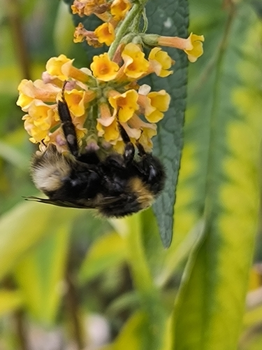
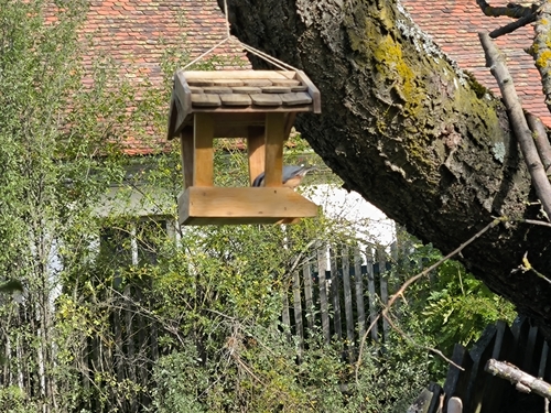
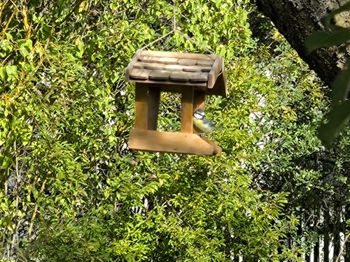
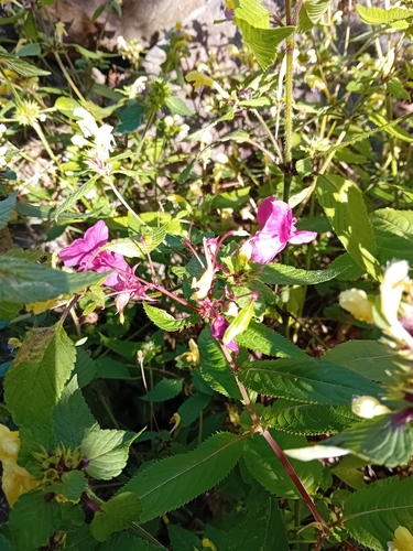
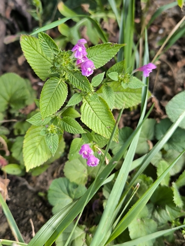


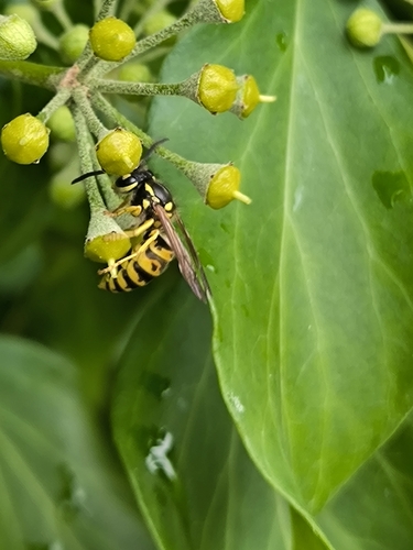
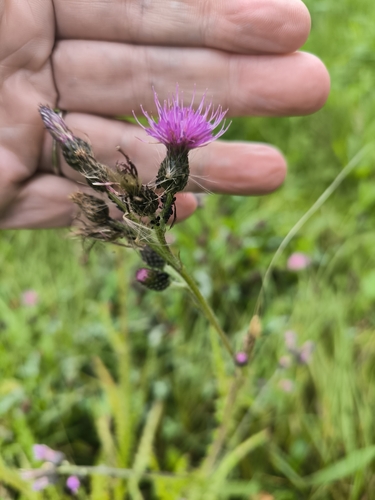
Research-grade observations from iNaturalist (within ~15 mi).
Events
Gallery
Official Identifiers
ČSÚ — Czech Statistical Office
- RÚIAN code
- CZ556254
- Population (Wikidata)
- 5,103
- Wikidata
- Q641158
RÚIAN obec ID via Wikidata P782
Sources
- • Wikipedia
- • Wikidata
- • iNaturalist
- • Wikidata SPARQL (CC0) — population, area, elevation, inception, head of government, Commons image
- • ČSÚ — Czech Statistical Office — RÚIAN obec ID via Wikidata P782