Browse / Czechia / Zlín / Horní Lideč
Horní Lideč
Zlínvillage

Featured view
Horní Lideč
Total population
1,397
Elevation465 m
Land area7.22 km²
Coordinates49.18°, 18.06°
Demographic figures from Czech Statistical Office. Overview below cites Wikipedia and may reference a different year.
Loading additional data from public sources…0 / 11
CensusWikipediaWeatherPlacesPeopleEnvironmentHealth & SchoolsRelatedGeography & CultureLive MonitoringEvents & Gallery
0% completeCity facts
Facts from Wikidata (CC0).
Overview
Horní Lideč is a municipality and village in Vsetín District in the Zlín Region of the Czech Republic. It has about 1,300 inhabitants.
Read more on WikipediaHistory & geography
Geography
Latitude
49.1815
Longitude
18.0622
Water area
—
Coordinates & boundaries from the US Census TIGER/Line shapefiles.
Climate
Air quality
Walkability
Amenities nearby
Wildlife & biodiversity
Earthquake history
Photos
Sights & places nearby
Notable people from here

Štěpán Trochta
Czechoslovak cardinal (1905–1974)

Josef Valčík
Czechoslovak soldier and resistance fighter (1914-1942)
L
Lukáš Matůš
Czech soccer player

Augustin Emil Dorničák
Czech Roman Catholic priest
J
Josef Novosad
Czech theologist and roman catholic priest (1910–1983)
J
Josef Zimek
Czech lawyer
J
Jozef Zlocha
politician (1940-2001)
O
Oskár Formánek
historian (1915-1991)
E
Erwin Schimitschek
Austrian zoologist

František Pacík
J
Jan Brlica senior
Walachian carver and forester
J
Jan Brlica Jr.
A
Alois Dubec
J
Josef Cahel
J
Jaroslav Orel
J
Josef Káňa
People born within ~10 km, from Wikidata (CC0). Click any name for their Wikipedia article.
Nearby places in Zlín
- Svatý Štěpán9.8 mi away · pop. 391
- Raková11.8 mi away · pop. 210
- Zádveřice-Raková11.9 mi away · pop. 1,070
- Ostrata14.7 mi away · pop. 346
- Jaroslavice16.3 mi away · pop. 714
- Malá Lhota18 mi away · pop. 89
- Komárovice22.9 mi away · pop. 141
- Záhlinice27 mi away · pop. 370
- Sady27.8 mi away · pop. 1,178
- Uherské Hradiště28.1 mi away · pop. 21,737
- Karlovice28.3 mi away · pop. 139
- Hulín28.6 mi away · pop. 7,151
Geography & sun
Avg solar (kWh/m²/day)
3.01
Annual solar (kWh/m²)
1,100
Elevation, sunrise/sunset and daylight from Open-Meteo. Solar climatology from NASA POWER.
Nearby airports
Public attention
Wikipedia views (last 30 days)
28
Avg daily Wikipedia views
1
Attention level
Obscure
Pageview totals from the Wikimedia Pageviews API.
Books about this place
Recent natural events nearby
Ground air-quality sensors
Recently spotted species
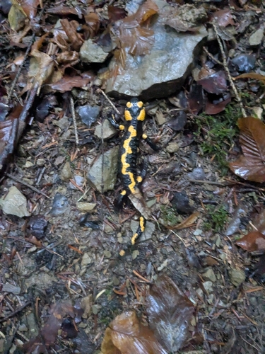
Fire Salamander
Salamandra salamandra
Seen 2026-09-25
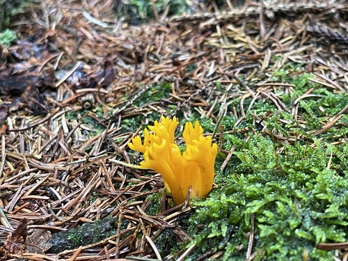
Jelly-antler
Calocera viscosa
Seen 2026-09-22
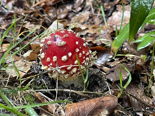
Fly Agaric
Amanita muscaria
Seen 2026-09-22
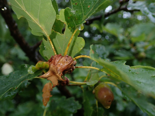
Andricus dentimitratus
Andricus dentimitratus
Seen 2026-09-11
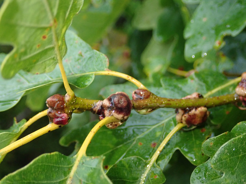
Andricus mitratus
Andricus mitratus
Seen 2026-09-11
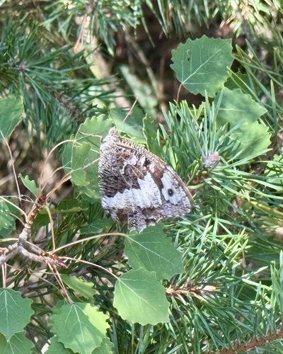
Great Banded Grayling
Brintesia circe
Seen 2026-09-09
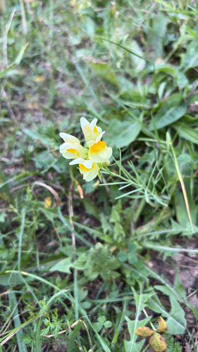
common toadflax
Linaria vulgaris
Seen 2026-09-09
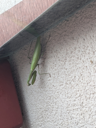
European Mantis
Mantis religiosa
Seen 2026-09-03
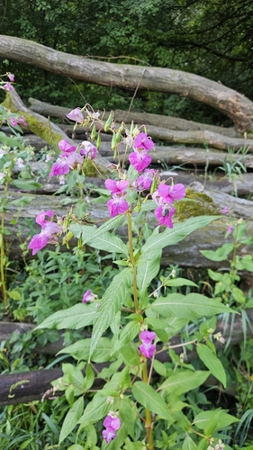
Himalayan balsam
Impatiens glandulifera
Seen 2026-09-03
Research-grade observations from iNaturalist (within ~15 mi).
Events
Gallery
Official Identifiers
ČSÚ — Czech Statistical Office
- RÚIAN code
- CZ542725
- Population (Wikidata)
- 1,314
- Wikidata
- Q1022342
RÚIAN obec ID via Wikidata P782
Sources
- • Wikipedia
- • Wikidata
- • iNaturalist
- • Open-Meteo / sunrise-sunset.org
- • Wikipedia Pageviews API
- • Wikidata SPARQL (CC0) — population, area, elevation, inception, head of government, Commons image
- • ČSÚ — Czech Statistical Office — RÚIAN obec ID via Wikidata P782