Browse / Czechia / Plzeň / Kašperské Hory
Kašperské Hory
Plzeňtown

Kašperské Hory
Total population
1,462
Demographic figures from Czech Statistical Office. Overview below cites Wikipedia and may reference a different year.
City facts
Facts from Wikidata (CC0).
Overview
Kašperské Hory is a town in Klatovy District in the Plzeň Region of the Czech Republic. It has about 1,400 inhabitants. The town is located on the border between the Bohemian Forest Foothills and Bohemian Forest mountain range. It is known as a ski resort.
Read more on WikipediaHistory & geography
History
Kašperské Hory existed already at the turn of the 13th and 14th centuries as an extensive mining settlement near an important gold-bearing area. King John of Bohemia promoted the settlement to a mining town. The Kašperk Castle was built above the town by King Charles IV in 1356 to guard the border and protect the trade route and local gold mines. The castle also served as one of administrative centres of the Prácheňsko region. In 1584, the town became a royal town. Declining gold mining was gradually replaced by trade, glassmaking, woodworking, papermaking and cattle breeding. In the 19th century, Kašperské Hory was the natural regional centre as the seat of offices and schools. It had a German majority. After the end of World War I, the town became part of Czechoslovakia. After the end of World War II in 1945, the German-speaking population was expelled according to the Potsdam Agreement.
Geography
Kašperské Hory is located about southeast of Klatovy and south of Plzeň. It lies on the border between the Bohemian Forest Foothills and Bohemian Forest mountain range. The highest point is a contour line on the slopes of the mountain Huťská hora at above sea level. The Otava River flows along the western municipal border. The municipal territory is rich in small streams.
Excerpted from the corresponding Wikipedia article (CC BY-SA).
Geography
Coordinates & boundaries from the US Census TIGER/Line shapefiles.
Climate
Air quality
Walkability
Amenities nearby
Wildlife & biodiversity
Earthquake history
Photos
Sights & places nearby
Notable people from here


People born within ~10 km, from Wikidata (CC0). Click any name for their Wikipedia article.
Nearby places in Plzeň
- Srní5.2 mi away · pop. 333
- Žihobce6 mi away · pop. 319
- Bukovník7.2 mi away · pop. 65
- Chmelná7.4 mi away · pop. 189
- Modrava8.7 mi away · pop. 8
- Svaté Pole13.2 mi away · pop. 67
- Velký Bor16.6 mi away · pop. 324
- Myslovice19.7 mi away · pop. 107
- Nezdřev21 mi away · pop. 116
- Mešno35.5 mi away · pop. 87
- Křenovy36.4 mi away · pop. 150
- Kotovice40.7 mi away · pop. 150
Geography & sun
Elevation, sunrise/sunset and daylight from Open-Meteo. Solar climatology from NASA POWER.
Nearby airports
Public attention
Pageview totals from the Wikimedia Pageviews API.
Books about this place
Recent natural events nearby
Ground air-quality sensors
Recently spotted species
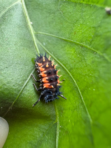
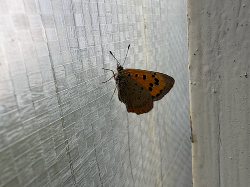
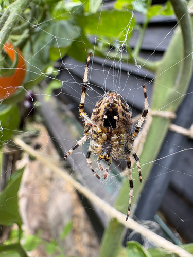
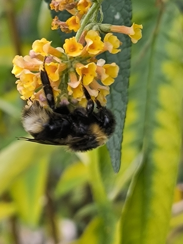
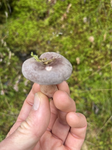
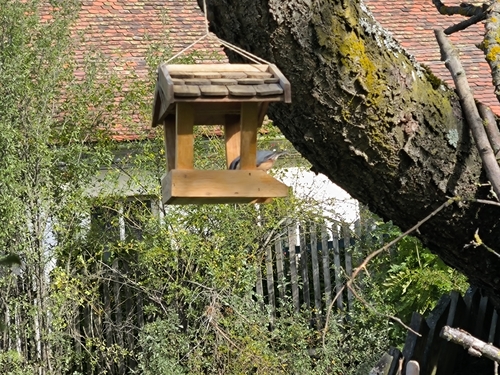
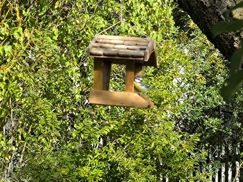
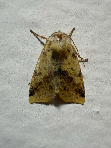
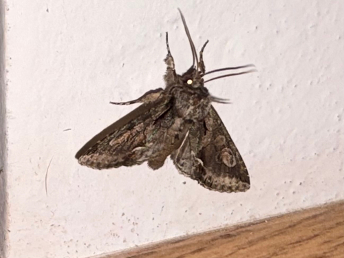
Research-grade observations from iNaturalist (within ~15 mi).
Events
Gallery
Official Identifiers
ČSÚ — Czech Statistical Office
- RÚIAN code
- CZ556432
- Population (Wikidata)
- 1,367
- Wikidata
- Q703182
RÚIAN obec ID via Wikidata P782
Sources
- • Wikipedia
- • Wikidata
- • iNaturalist
- • Open-Meteo / sunrise-sunset.org
- • Wikipedia Pageviews API
- • Wikidata SPARQL (CC0) — population, area, elevation, inception, head of government, Commons image
- • ČSÚ — Czech Statistical Office — RÚIAN obec ID via Wikidata P782