Browse / Czechia / Plzeň / Letiny
Letiny
Plzeňvillage

Featured view
Letiny
Total population
325
Elevation470 m
Land area19.31 km²
Coordinates49.54°, 13.45°
Demographic figures from Czech Statistical Office. Overview below cites Wikipedia and may reference a different year.
Loading additional data from public sources…0 / 11
CensusWikipediaWeatherPlacesPeopleEnvironmentHealth & SchoolsRelatedGeography & CultureLive MonitoringEvents & Gallery
0% completeCity facts
Facts from Wikidata (CC0).
Overview
Letiny is a municipality and village in Plzeň-South District in the Plzeň Region of the Czech Republic. It has about 700 inhabitants.
Read more on WikipediaHistory & geography
Geography
Latitude
49.5398
Longitude
13.4547
Water area
—
Coordinates & boundaries from the US Census TIGER/Line shapefiles.
Climate
Air quality
Walkability
Amenities nearby
Wildlife & biodiversity
Earthquake history
Photos
Sights & places nearby
Notable people from here
Nearby places in Plzeň
- Myslovice9.7 mi away · pop. 107
- Mešno11 mi away · pop. 87
- Nezdřev14.6 mi away · pop. 116
- Velký Bor16.4 mi away · pop. 324
- Svaté Pole20.2 mi away · pop. 67
- Chmelná20.7 mi away · pop. 189
- Lhota pod Radčem22.9 mi away · pop. 267
- Žihobce23.8 mi away · pop. 319
- Vejvanov24.4 mi away · pop. 216
- Dolní Hradiště25.9 mi away · pop. 42
- Drahoňův Újezd26.2 mi away · pop. 144
- Liblín26.4 mi away · pop. 301
Geography & sun
Avg solar (kWh/m²/day)
3.11
Annual solar (kWh/m²)
1,134
Elevation, sunrise/sunset and daylight from Open-Meteo. Solar climatology from NASA POWER.
Nearby airports
Public attention
Wikipedia views (last 30 days)
17
Avg daily Wikipedia views
1
Attention level
Obscure
Pageview totals from the Wikimedia Pageviews API.
Books about this place
Recent natural events nearby
Ground air-quality sensors
Recently spotted species
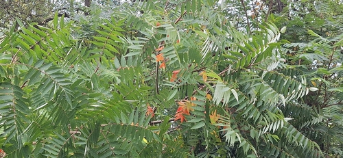
staghorn sumac
Rhus typhina
Seen 2026-09-21
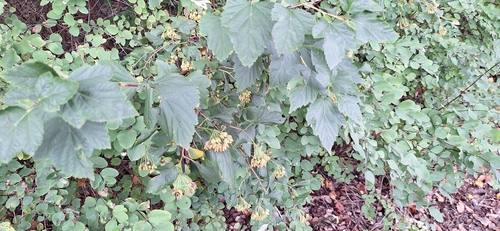
common ninebark
Physocarpus opulifolius
Seen 2026-09-21
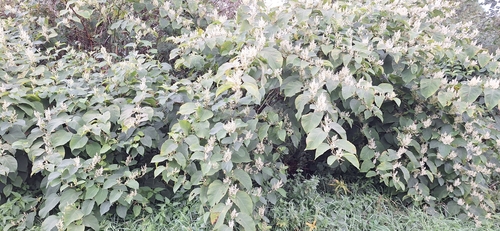
Japanese knotweed
Reynoutria japonica
Seen 2026-09-21
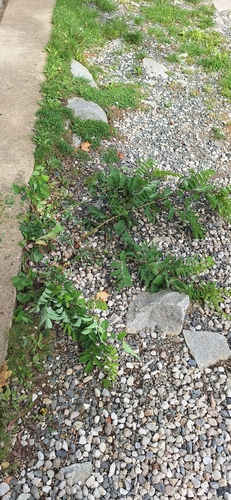
black locust
Robinia pseudoacacia
Seen 2026-09-21
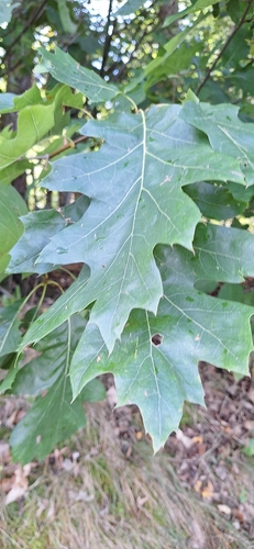
northern red oak
Quercus rubra
Seen 2026-09-21
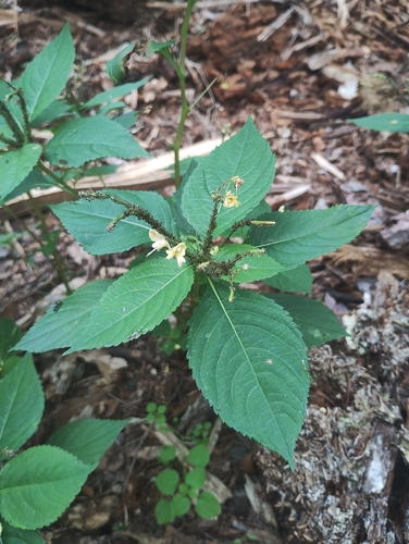
small balsam
Impatiens parviflora
Seen 2026-09-20
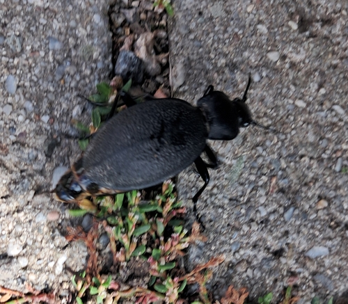
Leather Beetle
Carabus coriaceus
Seen 2026-09-17
Research-grade observations from iNaturalist (within ~15 mi).
Events
Gallery
Official Identifiers
ČSÚ — Czech Statistical Office
- RÚIAN code
- CZ557951
- Population (Wikidata)
- 691
- Wikidata
- Q1821104
RÚIAN obec ID via Wikidata P782
Sources
- • Wikipedia
- • Wikidata
- • iNaturalist
- • Open-Meteo / sunrise-sunset.org
- • Wikipedia Pageviews API
- • ČSÚ — Czech Statistical Office — RÚIAN obec ID via Wikidata P782