Browse / Czechia / Moravian-Silesian / Ostrava
Ostrava
Moravian-Silesiancity

Ostrava
Total population
279,791
Founded
1267
Demographic figures from Czech Statistical Office. Overview below cites Wikipedia and may reference a different year.
City facts
Sister cities
Facts from Wikidata (CC0).
Overview
Ostrava is a city in the north-east of the Czech Republic and the capital of the Moravian-Silesian Region. It has about 281,000 inhabitants. It lies near the border with Poland, at the confluences of four rivers: Oder, Opava, Ostravice and Lučina. Ostrava is the third largest city in the Czech Republic in terms of both population and area, the second largest city in the region of Moravia, and the largest city in the historical land of Czech Silesia. It straddles the border of the two historic lands of Moravia and Silesia. The wider conurbation — which also includes the towns of Bohumín, Havířov, Karviná, Orlová, Petřvald and Rychvald — is home to about 500,000 people, making it the largest urban area in the Czech Republic apart from the capital Prague.
Read more on WikipediaHistory & geography
History
The first written mention of Slezská Ostrava (Silesian Ostrava) dates from 1229, when it was described as a settlement. The first mention of Moravian Ostrava (Moravská Ostrava) in 1267 describes it as a township. Ostrava grew on the banks of the Ostrá River (now the Ostravice) from which it took its name. The river still divides the city into two main parts: Moravian Ostrava (Moravská Ostrava) and Silesian Ostrava (Slezská Ostrava). The settlement occupied a strategic position on the border between the two historic provinces of Moravia and Silesia and on the ancient trade route from the Baltic Sea to the Adriatic Sea known as the Amber Road. Its location helped the town to grow and flourish. However, Ostrava began to decline in importance after the Thirty Years' War, and it was occupied by Danish forces in 1626, and by Swedish forces from 1642 to 1650. A turning point in Ostrava's history came in 1763 with the discovery of extensive deposits of high-quality bituminous coal on the Silesian bank of the Ostravice River. In 1828, the owner of the local estates, Rudolf Jan, the archbishop of Olomouc, established an ironworks, which was named after him as the Rudolfshütte. Later, the ironworks passed into the ownership of the Rothschild family and became known as the Vítkovice Ironworks. The company became the driving force behind Ostrava's industrial boom. By the second half of the 20th century, the city was nicknamed the country's "steel heart". In 1931 the Jewish community in Ostrava numbered 6,865 (5.4% of the population). About 8,000 Jews from the Ostrava district were murdered in the Holocaust during the German occupation in World War II. The Nisko Plan included the first deportation train transports of 1,301 Jews from Ostrava on 17 and 26 October 1939. In 1994, a…
Geography
Ostrava is located about east of Prague. It lies mostly in the Ostrava Basin lowland, only the southwestern part of the municipal territory extends into the Moravian Gate. Ostrava is mostly low-lying, with a highest point of above sea level. The city is situated at the meeting point of four rivers: Oder, Opava, Ostravice and Lučina. It differs from most neighbouring regions by the high concentration of industry, dense population and the geographical conditions of the Ostrava Basin. The Poodří Protected Landscape Area extends to the city's territory in the southwest. Ostrava is 20.5 km across from north to south (Antošovice–Nová Bělá), and 20.1 km across from east to west (Bartovice–Krásné Pole). Ostrava has an oceanic (Köppen: Cfb) or humid continental (Dfb) climate, according with the isotherm 0 °C/-3 °C. The climate features warm, humid summers and moderately cold winters, with an average annual temperature of (January: July: ) and average annual precipitation of 580 mm.
Excerpted from the corresponding Wikipedia article (CC BY-SA).
Geography
Coordinates & boundaries from the US Census TIGER/Line shapefiles.
Climate
Air quality
Walkability
Amenities nearby
Wildlife & biodiversity
Most-observed species
- DaisyBellis perennis L. · Magnoliopsida8,953
- Ground-ivyGlechoma hederacea L. · Magnoliopsida6,525
- Common NettleUrtica dioica L. · Magnoliopsida4,500
- DandelionTaraxacum officinale Weber ex F.H.Wigg. · Magnoliopsida3,649
- Garlic MustardAlliaria petiolata (M.Bieb.) Cavara & Grande · Magnoliopsida2,150
- Lesser CelandineFicaria verna Huds. · Magnoliopsida2,058
- MallardAnas platyrhynchos Linnaeus, 1758 · Aves2,054
- Norway MapleAcer platanoides L. · Magnoliopsida1,907
Citizen-science & research observations from the Global Biodiversity Information Facility (GBIF).
Earthquake history
Most recent
- M 2.6 — 2026-04-091 km WNW of Radlin, Poland
- M 2.9 — 2025-04-294 km WSW of Bytom, Poland
- M 3.2 — 2025-01-271 km NE of Radlin, Poland
- M 2.9 — 2024-07-114 km N of Jejkowice, Poland
- M 3 — 2023-10-042 km W of Murcki, Poland
- M 2.8 — 2023-01-122 km ENE of Karviná, Czechia
Events from the USGS Earthquake Catalog (global) (FDSN Event Web Service).
Photos
Sights & places nearby
Notable people from here
Nearby places in Moravian-Silesian
- Vrbice3.7 mi away · pop. 502
- Bobrovníky4.1 mi away · pop. 1,271
- Ludgeřovice4.3 mi away · pop. 4,862
- Rychvald4.7 mi away · pop. 6,769
- Petřvald4.8 mi away · pop. 6,811
- Antošovice5.1 mi away · pop. 280
- Záblatí5.3 mi away · pop. 2,208
- Markvartovice5.3 mi away · pop. 1,770
- Horní Datyně5.7 mi away · pop. 1,049
- Děhylov5.8 mi away · pop. 645
- Bohumín5.8 mi away · pop. 18,914
- Polanka nad Odrou6.2 mi away · pop. 4,920
Geography & sun
Elevation, sunrise/sunset and daylight from Open-Meteo. Solar climatology from NASA POWER.
Nearby airports
Public attention
Pageview totals from the Wikimedia Pageviews API.
Books about this place
Recent natural events nearby
Ground air-quality sensors
Recently spotted species
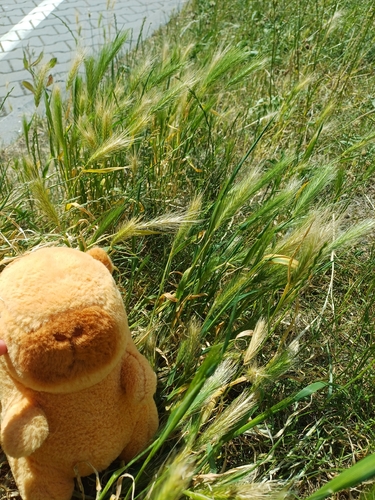
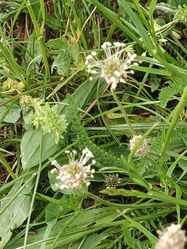
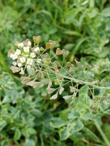
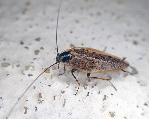
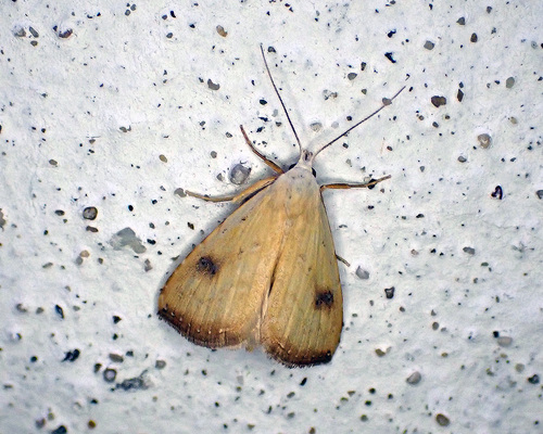
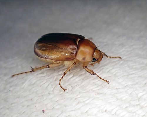
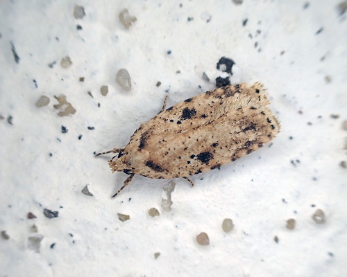
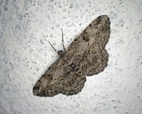
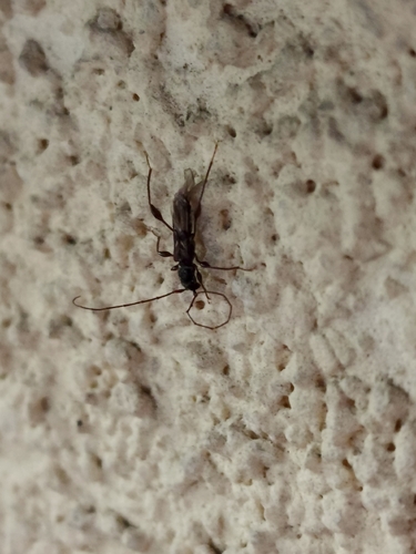
Research-grade observations from iNaturalist (within ~15 mi).
Events
Notable, recurring, and historical events associated with Ostrava, sourced from Wikidata.
- 2026 Ball Hockey World Championship Great Britain vs. Austria (2026-06-28)Jun 28, 2026sporting event
Playoff match at the 2026 Ball Hockey World Championship (Great Britain 9–3 Austria)
- 2026 Ball Hockey World Championship Cayman Islands vs. Germany (2026-06-27)Jun 27, 2026sporting event
Playoff match at the 2026 Ball Hockey World Championship (Cayman Islands 12–2 Germany)
- 2026 Ball Hockey World Championship India vs. Austria (2026-06-27)Jun 27, 2026sporting event
Playoff match at the 2026 Ball Hockey World Championship (India 5–2 Austria)
- 2026 Ball Hockey World Championship Great Britain vs. France (2026-06-27)Jun 27, 2026sporting event
Playoff match at the 2026 Ball Hockey World Championship (Great Britain 5–6 France, OT)
- 2026 Ball Hockey World Championship France vs. Germany (2026-06-26)Jun 26, 2026sporting event
Playoff match at the 2026 Ball Hockey World Championship (France 4–2 Germany)
- 2026 Ball Hockey World Championship Austria vs. Cayman Islands (2026-06-26)Jun 26, 2026sporting event
Playoff match at the 2026 Ball Hockey World Championship (Austria 7–4 Cayman Islands)
- 2026 Ball Hockey World Championship Cayman Islands vs. Austria (2026-06-24)Jun 24, 2026sporting event
Group B match at the 2026 Ball Hockey World Championship (Cayman Islands 2–7 Austria)
- 2026 Ball Hockey World Championship India vs. Germany (2026-06-24)Jun 24, 2026sporting event
Group B match at the 2026 Ball Hockey World Championship (India 15–1 Germany)
- 2026 Ball Hockey World Championship France vs. Cayman Islands (2026-06-23)Jun 23, 2026sporting event
Group B match at the 2026 Ball Hockey World Championship (France 3–2 Cayman Islands, OT)
- 2026 Ball Hockey World Championship India vs. Great Britain (2026-06-23)Jun 23, 2026sporting event
Group B match at the 2026 Ball Hockey World Championship (India 7–2 Great Britain)
- 2026 Ball Hockey World Championship Austria vs. France (2026-06-22)Jun 22, 2026sporting event
Group B match at the 2026 Ball Hockey World Championship (Austria 2–3 France, OT)
- 2026 Ball Hockey World Championship Great Britain vs. Germany (2026-06-22)Jun 22, 2026sporting event
Group B match at the 2026 Ball Hockey World Championship (Great Britain 10–2 Germany)
- 2026 Ball Hockey World Championship India vs. France (2026-06-21)Jun 21, 2026sporting event
Group B match at the 2026 Ball Hockey World Championship (India 6–2 France)
- 2026 Ball Hockey World Championship Great Britain vs. Austria (2026-06-21)Jun 21, 2026sporting event
Group B match at the 2026 Ball Hockey World Championship (Great Britain 6–3 Austria)
- 2026 Ball Hockey World Championship Germany vs. Cayman Islands (2026-06-21)Jun 21, 2026sporting event
Group B match at the 2026 Ball Hockey World Championship (Germany 0–7 Cayman Islands)
- 2026 Ball Hockey World Championship France vs. Germany (2026-06-20)Jun 20, 2026sporting event
Group B match at the 2026 Ball Hockey World Championship (France 6–1 Germany)
- 2026 Ball Hockey World Championship Austria vs. India (2026-06-20)Jun 20, 2026sporting event
Group B match at the 2026 Ball Hockey World Championship (Austria 2–7 India)
- Q126285137Jan 1, 2018sporting event
- Q110489711Jul 22, 1967sporting event
Source: Wikidata (CC0).
Gallery
Geotagged photos within ~6 miles of Ostrava, from Wikimedia Commons contributors.
 0 mi
 0 mi
 0 mi
 0 mi
 0 mi
 0 mi
 0 mi
 0 mi
 0 mi
 0 mi
 0 mi
 0.1 mi
 0.1 mi
 0.1 mi
 0.1 mi
 0.1 mi
 0.1 mi
 0.1 mi
 0.1 mi
 0.1 mi
 0.1 mi
 0.1 mi
 0.1 mi
 0.1 mi
Photos via Wikimedia Commons — see each image page for license & attribution.
Official Identifiers
ČSÚ — Czech Statistical Office
- RÚIAN code
- CZ554821
- Population (Wikidata)
- 283,187
- Wikidata
- Q8385
RÚIAN obec ID via Wikidata P782
Sources
- • Wikipedia
- • Wikimedia Commons
- • Wikidata
- • USGS Earthquake Catalog (global feed)
- • GBIF (Global Biodiversity Information Facility)
- • iNaturalist
- • Open-Meteo / sunrise-sunset.org
- • Wikipedia Pageviews API
- • Wikidata SPARQL (CC0) — population, area, elevation, inception, head of government, Commons image
- • ČSÚ — Czech Statistical Office — RÚIAN obec ID via Wikidata P782