Browse / Czechia / Zlín / Strání
Strání
Zlínvillage

Strání
Total population
2,483
Demographic figures from Czech Statistical Office. Overview below cites Wikipedia and may reference a different year.
City facts
Facts from Wikidata (CC0).
Overview
Strání is a municipality and village in Uherské Hradiště District in the Zlín Region of the Czech Republic. It has about 3,300 inhabitants. The municipality is located in the White Carpathians mountain range. For centuries, the village of Květná within the municipality was famous for glass production, but it ended in 2023.
Read more on WikipediaHistory & geography
History
Strání is located in an ancient mining area and an apparent settlement area of the Stone Age Corded Ware Culture (2,900–2,350 BC). In the 11th and 12th centuries, the area of Strání was on the so-called Hungarian Way. This road was used by Bohemian troops as they marched to attack the Turks and Tatars in Hungary. After the mid-13th century, it became an important commercial link between Hungary and the Czech lands. The first written mention of Strání is from 1318. In 1359, Strání was first referred to as a market town. In 1483, tolls were collected in Strání for the upkeep of the commercial road, and in 1492 Strání included 44 houses and two mills. In 1502, John Bernard of Kunovice acquired the Ostroh estate, including Strání. In 1605, the market town of Strání was devastated by the Stephen Bocskai's army and it became a village again. The Bernard of Kunovice family owned the estate until the Battle of White Mountain in 1618, when their lands were confiscated from them by the Emperor because the family supported the failed rebellion against him. In 1625, the estate was sold to the Liechtenstein family, which maintained ownership of Strání until 1945.
Geography
Strání is located about southeast of Uherské Hradiště and west of Trenčín, on the border with Slovakia. It lies in the White Carpathians mountain range and within the Bílé Karpaty Protected Landscape Area. The highest point of Strání and of the entire White Carpathians is the mountain Velká Javořina at above sea level, whose peak is located on the Czech–Slovak border. The built-up area is situated in the valley of the Klanečnice Stream, which originates in the hills in the western part of the municipality. The Velička River originates in the territory of Strání, on the slope of Velká Javořina.
Excerpted from the corresponding Wikipedia article (CC BY-SA).
Geography
Coordinates & boundaries from the US Census TIGER/Line shapefiles.
Climate
Air quality
Walkability
Amenities nearby
Wildlife & biodiversity
Earthquake history
Photos
Sights & places nearby
Notable people from here


People born within ~10 km, from Wikidata (CC0). Click any name for their Wikipedia article.
Nearby places in Zlín
- Uherské Hradiště15.8 mi away · pop. 21,737
- Ostrata25.6 mi away · pop. 346
- Hulín30.7 mi away · pop. 7,151
- Karlovice34.4 mi away · pop. 139
- Castelvetere in Val Fortore532.7 mi away · pop. 1,810
- San Bartolomeo in Galdo533.9 mi away · pop. 5,841
- Foiano di Val Fortore538.3 mi away · pop. 1,551
- Santa Croce del Sannio539 mi away · pop. 1,067
- Montefalcone di Val Fortore539.6 mi away · pop. 1,837
- Castelfranco in Miscano540.7 mi away · pop. 1,065
- Sassinoro540.7 mi away · pop. 646
- Letino541.3 mi away · pop. 783
Geography & sun
Elevation, sunrise/sunset and daylight from Open-Meteo. Solar climatology from NASA POWER.
Nearby airports
Public attention
Pageview totals from the Wikimedia Pageviews API.
Books about this place
Recent natural events nearby
Ground air-quality sensors
Recently spotted species
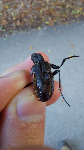
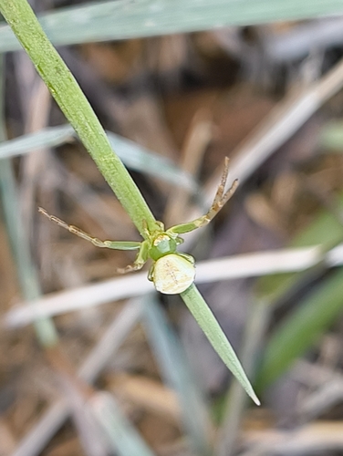
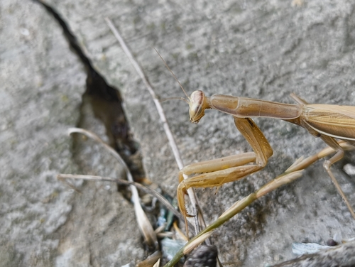
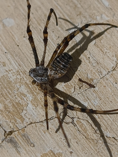
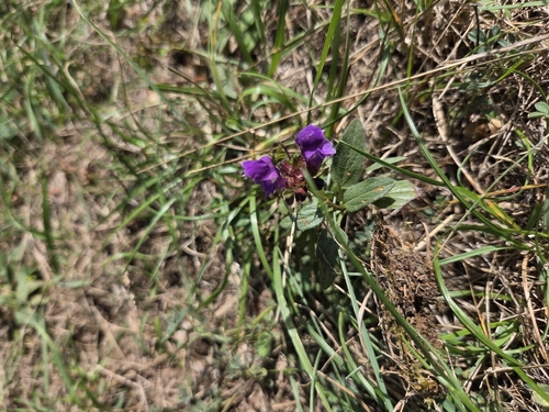
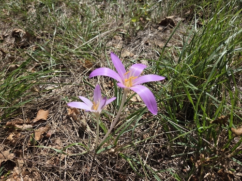
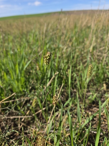
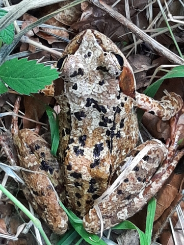
Research-grade observations from iNaturalist (within ~15 mi).
Events
Gallery
Official Identifiers
ČSÚ — Czech Statistical Office
- RÚIAN code
- CZ592617
- Population (Wikidata)
- 3,341
- Wikidata
- Q1476557
RÚIAN obec ID via Wikidata P782
Sources
- • Wikipedia
- • Wikidata
- • iNaturalist
- • Open-Meteo / sunrise-sunset.org
- • Wikipedia Pageviews API
- • Wikidata SPARQL (CC0) — population, area, elevation, inception, head of government, Commons image
- • ČSÚ — Czech Statistical Office — RÚIAN obec ID via Wikidata P782