Browse / Czechia / Moravian-Silesian / Třinec
Třinec
Moravian-Silesiantown

Třinec
Total population
34,222
Air quality index
Demographic figures from Czech Statistical Office. Overview below cites Wikipedia and may reference a different year.
City facts
Sister cities
Facts from Wikidata (CC0).
Overview
Třinec is a city in Frýdek-Místek District in the Moravian-Silesian Region of the Czech Republic. It has about 34,000 inhabitants, making it the least populated statutory city in the country. Třinec is located on the Olza River on the border with Poland and is an important cultural centre of the Polish minority in the Czech Republic.
Read more on WikipediaHistory & geography
History
The first written mention of Třinec is from 1444, but the village was probably founded already in the second half of the 14th century. Politically, the village then belonged to the Duchy of Teschen, a fee of the Kingdom of Bohemia, which after 1526 became part of the Habsburg monarchy. In 1770, the village had about 200 inhabitants and was completely agricultural. The area was rich in iron ore deposits and had sufficient water energy and a high supply of wood, which were the main reasons to establish an iron works there. The iron mill began operation in 1839, becoming the largest in the entire Cieszyn Silesia, and became a major milestone in the history of the village, which reoriented itself to industry. After the construction of the Košice–Bohumín Railway line in 1871, rapid development of the town took place. After the revolutions of 1848 in the Austrian Empire, a modern municipal division was introduced in the re-established Austrian Silesia. The village as a municipality was added to the political and legal district of Cieszyn. According to censuses conducted in 1880–1910, the population of the municipality grew from 1,792 in 1880 to 3,849 in 1910, with a majority being native Polish speakers (growing from 51.4% in 1880 to 96.6% in 1900 and 96% in 1910), accompanied by a German-speaking minority (at most 32.5% in 1880, then dropping to 12.2% in 1900, and up to 24.3% in 1910) and Czech speakers (peaking in 1890 at 17.4%, then dropping to 6.7% in 1910). In terms of religion, in 1910 the majority were Roman Catholics (63.2%), followed by Protestants (34.5%), and Jews (1.9%). The village was also traditionally inhabited by Cieszyn Vlachs, speaking the Cieszyn Silesian dialect. After World War I, the fall of Austria-Hungary and the division of Cieszyn Silesia in…
Geography
Třinec is located about east of Frýdek-Místek and southeast of Ostrava. It lies in the historical region of Cieszyn Silesia, on the border with Poland and also near the border with Slovakia, which is about of the city centre. Třinec lies on the Olza River. The Tyra Stream flows across the municipal territory and joins the Olza in the city centre. The elevation of the built-up area is approximately above sea level. The northern part of the municipal territory is located in the Moravian-Silesian Foothills. The southern, sparsely populated part is located in the Moravian-Silesian Beskids mountain range, which also lies within the Beskydy Protected Landscape Area. The municipal border runs along the peaks of several mountains, including Ostrý (with an elevation of the highest point in Třinec), Smrčina at , Šindelná at , and Javorový at . Třinec has a humid continental climate (Cfb in the Köppen climate classification).
Excerpted from the corresponding Wikipedia article (CC BY-SA).
Geography
Coordinates & boundaries from the US Census TIGER/Line shapefiles.
Climate
10-year averages from ERA5 reanalysis (Open-Meteo).
Air quality
Current readings from Open-Meteo Air Quality API (Copernicus CAMS European reanalysis).
Walkability
Amenities nearby
Wildlife & biodiversity
Most-observed species
- Great TitParus major Linnaeus, 1758 · Aves860
- Eurasian BlackbirdTurdus merula Linnaeus, 1758 · Aves859
- Common ChaffinchFringilla coelebs Linnaeus, 1758 · Aves770
- Eurasian Blue TitCyanistes caeruleus (Linnaeus, 1758) · Aves674
- Great Spotted WoodpeckerDendrocopos major (Linnaeus, 1758) · Aves662
- Coal TitPeriparus ater (Linnaeus, 1758) · Aves608
- Eurasian NuthatchSitta europaea Linnaeus, 1758 · Aves583
- Common Wood-PigeonColumba palumbus Linnaeus, 1758 · Aves484
Citizen-science & research observations from the Global Biodiversity Information Facility (GBIF).
Earthquake history
Most recent
- M 2.6 — 2026-04-091 km WNW of Radlin, Poland
- M 2.9 — 2025-04-294 km WSW of Bytom, Poland
- M 3.2 — 2025-01-271 km NE of Radlin, Poland
- M 2.9 — 2024-07-114 km N of Jejkowice, Poland
- M 3 — 2023-10-042 km W of Murcki, Poland
- M 2.8 — 2023-01-122 km ENE of Karviná, Czechia
Events from the USGS Earthquake Catalog (global) (FDSN Event Web Service).
Photos
Sights & places nearby
Notable people from here


People born within ~10 km, from Wikidata (CC0). Click any name for their Wikipedia article.
Nearby places in Moravian-Silesian
- Osůvky1.7 mi away · pop. 425
- Horní Líštná1.8 mi away · pop. 307
- Kojkovice1.9 mi away · pop. 256
- Vendryne2 mi away · pop. 3,842
- Ropice3.2 mi away · pop. 1,348
- Bystřice3.6 mi away · pop. 4,991
- Ropice Za lesem3.7 mi away
- Tyra4 mi away · pop. 411
- Nýdek4.1 mi away · pop. 1,952
- Střítež4.6 mi away · pop. 996
- Smilovice4.6 mi away · pop. 581
- Dolní Žukov4.6 mi away · pop. 1,026
Geography & sun
Elevation, sunrise/sunset and daylight from Open-Meteo. Solar climatology from NASA POWER.
Nearby airports
Public attention
Pageview totals from the Wikimedia Pageviews API.
Books about this place
Recent natural events nearby
Ground air-quality sensors
Recently spotted species
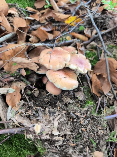
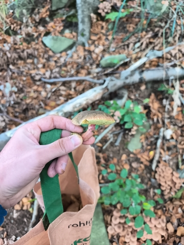
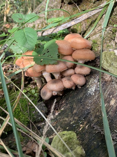
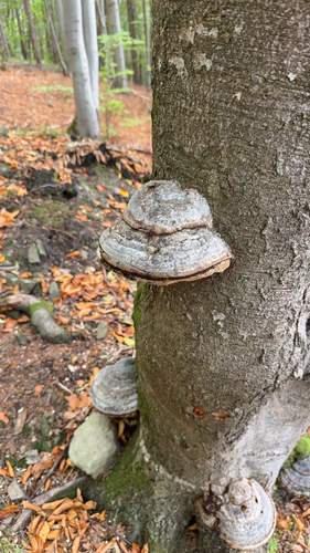
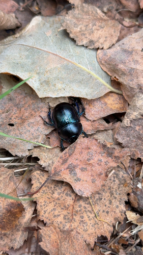
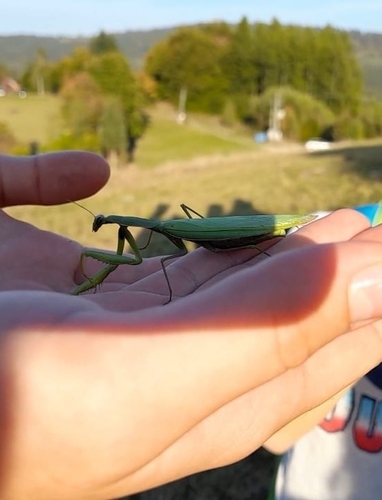
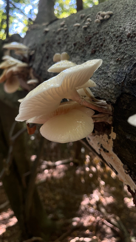
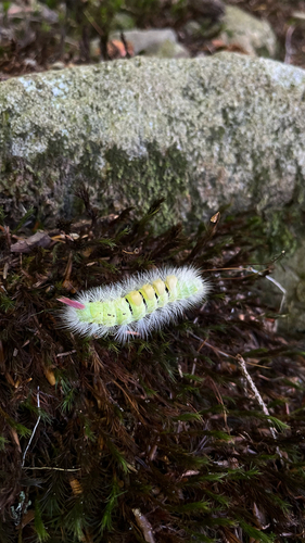
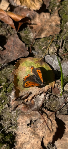
Research-grade observations from iNaturalist (within ~15 mi).
Events
Gallery
Official Identifiers
ČSÚ — Czech Statistical Office
- RÚIAN code
- CZ598810
- Population (Wikidata)
- 33,852
- Wikidata
- Q986102
RÚIAN obec ID via Wikidata P782
Sources
- • Wikipedia
- • Open-Meteo (ERA5 reanalysis)
- • Wikidata
- • Open-Meteo Air Quality (CAMS)
- • USGS Earthquake Catalog (global feed)
- • GBIF (Global Biodiversity Information Facility)
- • iNaturalist
- • Open-Meteo / sunrise-sunset.org
- • Wikipedia Pageviews API
- • Wikidata SPARQL (CC0) — population, area, elevation, inception, head of government, Commons image
- • ČSÚ — Czech Statistical Office — RÚIAN obec ID via Wikidata P782