Browse / Czechia / Moravian-Silesian / Vratimov
Vratimov
Moravian-Silesiantown

Vratimov
Total population
5,407
Demographic figures from Czech Statistical Office. Overview below cites Wikipedia and may reference a different year.
City facts
Sister cities
Facts from Wikidata (CC0).
Overview
Vratimov is a town in Ostrava-City District in the Moravian-Silesian Region of the Czech Republic. It has about 7,500 inhabitants. The town is located on the Ostravice River in the Ostrava Basin.
Read more on WikipediaHistory & geography
History
Vratimov was founded during the colonisation of Cieszyn Silesia in the second half of the 13th century. The first written mention is from 1305 under its Latin name Wrothimow. The Czech name was first used in 1598. Politically the village belonged initially to the Duchy of Teschen, formed in 1290 in the process of feudal fragmentation of Poland and was ruled by a local branch of Piast dynasty. In 1327 the duchy became a fee of Kingdom of Bohemia, which after 1526 became part of the Habsburg monarchy. Vratimov was traditionally agricultural. In the 1880s, a pulp mill was established here and soon paper and metallurgical production was established. Industrialisation dramatically changed the character of the town.
Geography
Vratimov is located southeast of Ostrava, in its immediate vicinity. It lies in the Ostrava Basin, in the historical region of Cieszyn Silesia. The town is located on the right bank of the Ostravice River, which forms the western border of the municipal territory.
Excerpted from the corresponding Wikipedia article (CC BY-SA).
Geography
Coordinates & boundaries from the US Census TIGER/Line shapefiles.
Climate
Air quality
Walkability
Amenities nearby
Wildlife & biodiversity
Earthquake history
Photos
Sights & places nearby
Notable people from here
Nearby places in Moravian-Silesian
- Horní Datyně2.1 mi away · pop. 1,049
- Řepiště2.5 mi away · pop. 1,502
- Paskov2.8 mi away · pop. 3,506
- Šenov3.3 mi away · pop. 5,406
- Oprechtice3.6 mi away · pop. 212
- Kaňovice4.2 mi away · pop. 192
- Lískovec4.2 mi away · pop. 1,291
- Sedliště4.4 mi away · pop. 1,190
- Krmelín4.4 mi away · pop. 1,818
- Proskovice5.1 mi away · pop. 1,125
- Petřvald5.5 mi away · pop. 6,811
- Sviadnov5.6 mi away · pop. 1,279
Geography & sun
Elevation, sunrise/sunset and daylight from Open-Meteo. Solar climatology from NASA POWER.
Nearby airports
Public attention
Pageview totals from the Wikimedia Pageviews API.
Books about this place
Recent natural events nearby
Ground air-quality sensors
Recently spotted species
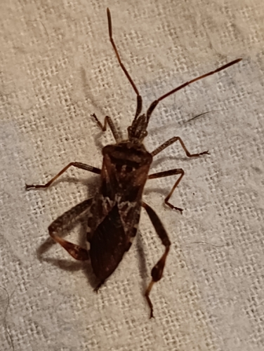
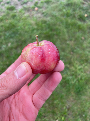
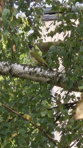
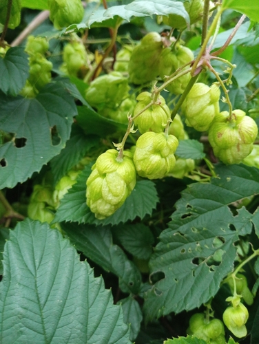
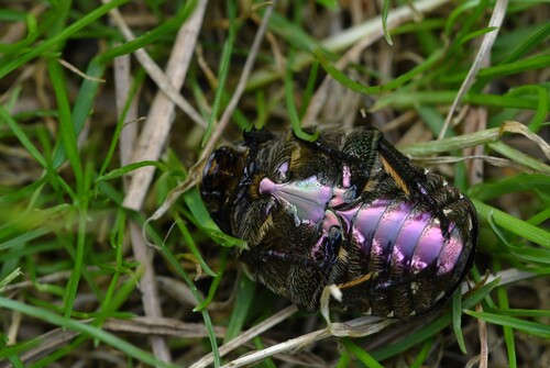
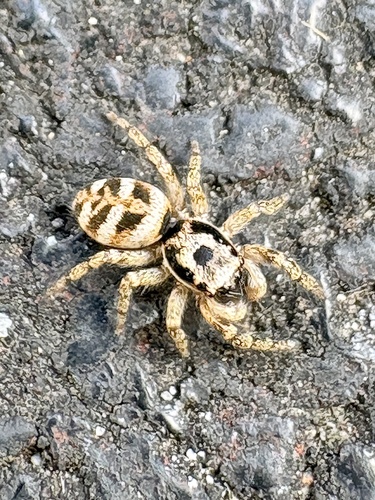
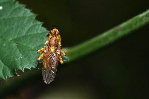
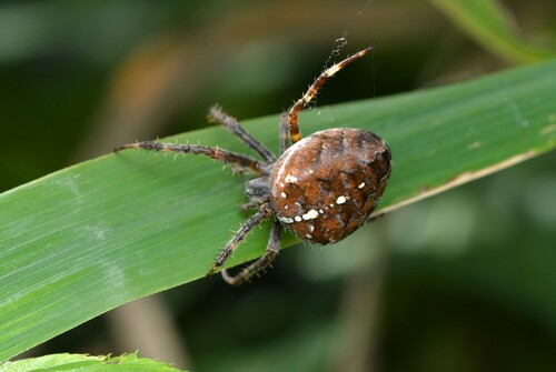
Research-grade observations from iNaturalist (within ~15 mi).
Events
Gallery
Official Identifiers
ČSÚ — Czech Statistical Office
- RÚIAN code
- CZ598879
- Population (Wikidata)
- 7,434
- Wikidata
- Q1575979
RÚIAN obec ID via Wikidata P782
Sources
- • Wikipedia
- • Wikidata
- • iNaturalist
- • Open-Meteo / sunrise-sunset.org
- • Wikipedia Pageviews API
- • Wikidata SPARQL (CC0) — population, area, elevation, inception, head of government, Commons image
- • ČSÚ — Czech Statistical Office — RÚIAN obec ID via Wikidata P782