Browse / Germany / Baden-Württemberg / Bempflingen
Bempflingen
Baden-Württembergvillage

Bempflingen
Total population
3,383
Air quality index
Demographic figures from Destatis. Overview below cites Wikipedia and may reference a different year.
City facts
Facts from Wikidata (CC0).
Overview
Bempflingen is a municipality in the district Esslingen in the Erms valley in Baden-Württemberg, Germany. It belongs to the Region Stuttgart and the European Metropolitan Region Stuttgart.
Read more on WikipediaHistory & geography
History
Bempflingen was probably founded in the 5th century by Alemanni. This can also be concluded from the place name, which is probably connected with the first name Beonfil. At the place where the Alemannic row cemetery was found, a Roman manor house had previously stood. Bempflingen was first mentioned in 1090, when the counts Kuno von Wülflingen and Liutold von Achalm and their nephew, count Werner von Grüningen signed the so-called Bempflinger Contract in Biemphelingin to settle the estate and especially to secure their foundation for Zwiefalten Monastery. At that time Bempflingen still belonged to the county Achalm. Since the early 14th century the settlement belonged to the Kaib family. Later the village was sold and inherited by the Lords of Baustetten and the Lords of Mansberg. In 1448 Württemberg acquired the Baustettischen and in 1465 also the Mansberg part of the village. In 1639 Bempflingen and the Pfandschaft Achalm came under Austrian rule for ten years, but with the Peace of Westphalia came back to Württemberg. After the administrative reorganization at the beginning of the 19th century Bempflingen came to the Oberamt Urach, later to the Landkreis Nürtingen. The administrative reorganization of 1973 led to the affiliation to the administrative district Esslingen. Bempflingen is since the Reformation protestant. But there is also a small catholic parish. The today's evangelical parish Bempflingen comprises the main village and the suburb Kleinbettlingen and belongs to the church district Bad Urach-Münsingen of the evangelical regional church in Württemberg. {| border="1" cellspacing="0" | valign="top" | {| ! style="background:#efefef;" | Year ! style="background:#efefef;" | Population |----- | 1602 || align="right" | 326 |----- | 1. Dezember 1871 ||…
Geography
The municipal territory of Bempflingen covers a short section of the river valley of the Erms in the west and extends eastwards almost to the course of the Autmut river. The Eduard-Mörike-Hiking trail and the Ermstal fruit cycle path. South of the Reiner forest in direction Altdorf (Bempflinger Höhe) you can see the panorama of the Swabian Alb from the Hohenzollern over the Jusi to the three imperial mountains. Adjoining communities are in turn Neckartenzlingen in the northwest, Altdorf in the north, Großbettlingen with a small settlement free exclave also in the north and with the main area in the northeast, all in district Esslingen; Grafenberg in the southeast, Riederich in the south as well as Reutlingen in the southwest, these in district Reutlingen. Bempflingen consists of the two districts Bempflingen and Kleinbettlingen (Small bettlingen). ImageSize = width:600 height:150 PlotArea = width:90% height:66% bottom:25% left:5% DateFormat = x.y Period = from:0 till:100 Legend = columns:2 columnwidth:250 left:12% top:95% TimeAxis = orientation:horizontal ScaleMajor = unit:year increment:10 start:0 # The formatting blanks in the Colors-section are in fact figure spaces (U+2007) Colors = id:Gesa value:white legend: 627_ha Total_area id:Wald value:teal legend: 103_ha = 16,5_% Forest id:Land value:yelloworange legend: 368_ha = 58,6_% Agriculture id:Wass value:brightblue legend: 4_ha = 0,6_% Water id:Erho value:green legend: 9_ha = 1,4_% Relaxation id:Geba value:red legend: 82_ha = 13,1_% Buildings id:Verk value:tan1 legend: 58_ha = 9,2_% Traffic id:Sons value:purple legend: 4_ha = 0,6_% Other_areas PlotData = from:00.0 till:16.5 color:Wald from:16.5 till:75.1 color:Land…
Excerpted from the corresponding Wikipedia article (CC BY-SA).
Geography
Coordinates & boundaries from the US Census TIGER/Line shapefiles.
Climate
Air quality
Current readings from Open-Meteo Air Quality API (Copernicus CAMS European reanalysis).
Walkability
Amenities nearby
Wildlife & biodiversity
Most-observed species
- Eurasian BlackbirdTurdus merula Linnaeus, 1758 · Aves2,531
- Great TitParus major Linnaeus, 1758 · Aves2,439
- Carrion CrowCorvus corone Linnaeus, 1758 · Aves2,244
- Eurasian Blue TitCyanistes caeruleus (Linnaeus, 1758) · Aves2,203
- Common ChaffinchFringilla coelebs Linnaeus, 1758 · Aves1,829
- Common BuzzardButeo buteo (Linnaeus, 1758) · Aves1,674
- European RobinErithacus rubecula (Linnaeus, 1758) · Aves1,637
- Common Wood-PigeonColumba palumbus Linnaeus, 1758 · Aves1,566
Citizen-science & research observations from the Global Biodiversity Information Facility (GBIF).
Earthquake history
Most recent
- M 3.4 — 2022-10-16Baden-Wurttemberg, Germany
- M 4 — 2022-07-092 km NNE of Grosselfingen, Germany
- M 3.1 — 2008-12-253 km NNW of Saulgau, Germany
- M 2.5 — 2008-12-122 km ESE of Nehren, Germany
- M 2.8 — 2008-11-251 km S of Steinmauern, Germany
- M 2.7 — 2008-07-091 km WSW of Dußlingen, Germany
Events from the USGS Earthquake Catalog (global) (FDSN Event Web Service).
Photos
Sights & places nearby
Notable people from here


People born within ~10 km, from Wikidata (CC0). Click any name for their Wikipedia article.
Nearby places in Baden-Württemberg
- Neckarhausen3.7 mi away · pop. 4,044
- Neuenhaus4.5 mi away · pop. 2,300
- Zizishausen6 mi away · pop. 3,306
- Unterensingen7.1 mi away · pop. 4,491
- Jettenburg8 mi away · pop. 1,100
- Owen8.4 mi away · pop. 3,533
- Würtingen8.8 mi away
- Unterlenningen8.9 mi away
- Dettingen unter Teck9 mi away
- Bebenhausen9.6 mi away · pop. 335
- Sirchingen10 mi away
- Holzelfingen10.1 mi away
Geography & sun
Elevation, sunrise/sunset and daylight from Open-Meteo. Solar climatology from NASA POWER.
Nearby airports
Public attention
Pageview totals from the Wikimedia Pageviews API.
Books about this place
Recent natural events nearby
Ground air-quality sensors
Recently spotted species
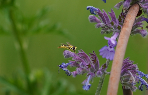
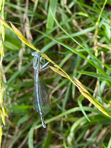
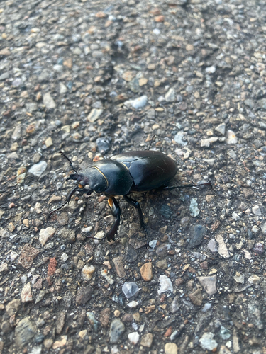
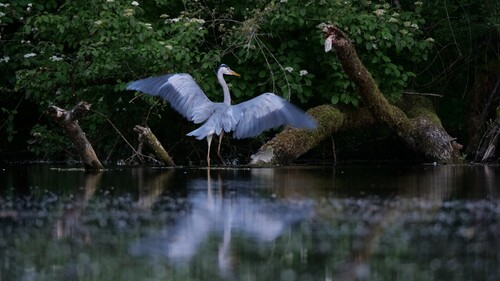
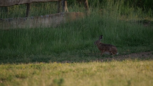
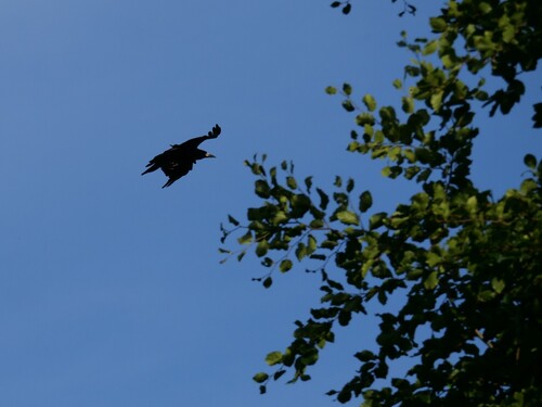
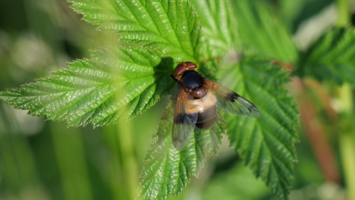
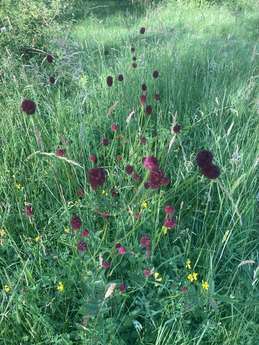
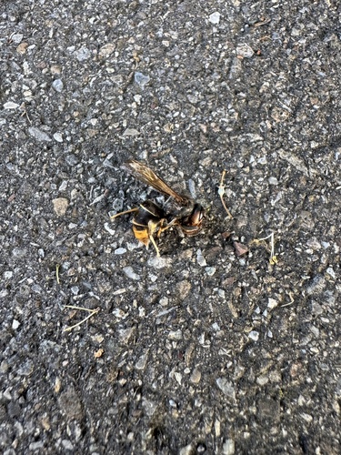
Research-grade observations from iNaturalist (within ~15 mi).
Events
Gallery
Geotagged photos within ~6 miles of Bempflingen, from Wikimedia Commons contributors.
 0 mi
0 mi.jpg) 0.1 mi
0.1 mi.jpeg) 0.1 mi
0.1 mi 0.2 mi
 0.2 mi
.jpeg) 0.3 mi
0.3 mi 0.4 mi
.png) 0.4 mi
0.4 mi.png) 0.4 mi
0.4 mi.png) 0.4 mi
0.4 mi.png) 0.4 mi
0.4 mi.png) 0.5 mi
0.5 mi.png) 0.5 mi
0.5 mi.png) 0.5 mi
0.5 mi.png) 0.5 mi
0.5 mi.png) 0.5 mi
0.5 mi.png) 0.6 mi
0.6 mi 0.7 mi
 0.7 mi
 0.7 mi
 0.7 mi
 0.7 mi
 0.7 mi
 0.7 mi
Photos via Wikimedia Commons — see each image page for license & attribution.
Official Identifiers
Destatis — German Federal Statistical Office
- AGS
- 08116008
- Population (Wikidata)
- 3,486
- Wikidata
- Q80483
Amtlicher Gemeindeschlüssel (AGS) via Wikidata P439
Sources
- • Wikipedia
- • Wikimedia Commons
- • Wikidata
- • Open-Meteo Air Quality (CAMS)
- • USGS Earthquake Catalog (global feed)
- • GBIF (Global Biodiversity Information Facility)
- • iNaturalist
- • Open-Meteo / sunrise-sunset.org
- • Wikipedia Pageviews API
- • Destatis — German Federal Statistical Office — Amtlicher Gemeindeschlüssel (AGS) via Wikidata P439