Browse / Germany / Bremen / Bremen
Bremen
Bremencity

Bremen
Total population
551,415
Air quality index
Demographic figures from Destatis. Overview below cites Wikipedia and may reference a different year.
City facts
Facts from Wikidata (CC0).
Overview
Bremen, officially the City Municipality of Bremen, is the capital and most populous city of the German state of the Free Hanseatic City of Bremen, a two-city-state consisting of the city of Bremen itself, and Bremerhaven. An important port city with about 586,000 inhabitants, this Hanseatic city is the 11th-largest city of Germany and the second-largest city in Northern Germany after Hamburg.
Read more on WikipediaHistory & geography
History
For most of its 1,200 year history, Bremen was an independent city within the confederal jurisdiction of the Holy Roman Empire. Its governing merchants and guilds were at the centre of the Hanseatic League that sought to monopolise the North Sea and Baltic Sea trade. To enlarge and confirm its independence, the city had, until the Reformation, to contend with the temporal power of the Church, and after the Thirty Years' War with Sweden, the masters of the surrounding Duchy of Bremen-Verden. George I Louis, the Elector of Hannover (and from 1714, King of Great Britain and Ireland) who in 1715 acquired Bremen-Verden, recognised Bremen as a free city in 1720. In the late nineteenth century, Bremen was drawn by Prussia into the German Empire. With its new sea anchorage and wharves at Bremerhaven, it was the principal port of embarkation for German and central European emigrants to the Americas, and an entrepôt for Germany's late developing colonial trade. The Norddeutscher Lloyd (NDL), founded in Bremen in 1857, became one of the world's leading shipping companies. After the First World War, Bremen, a broadly liberal and social-democratic city, and briefly a Soviet republic, lost its autonomy under the Hitler regime. After World War II, in which almost two thirds of the city's fabric was destroyed, the autonomy was restored. Bremen became one of the founding states () of the Federal Republic (West Germany).
Geography
Bremen lies on both sides of the River Weser, about upstream of its estuary on the North Sea and its transition to the Outer Weser by Bremerhaven. Opposite Bremen's Altstadt is the point where the "Middle Weser" becomes the "Lower Weser" and, from the area of Bremen's port, the river has been made navigable to ocean-going vessels. The region on the left bank of the Lower Weser, through which the Ochtum flows, is the Weser Marshes, the landscape on its right bank is part of the Elbe-Weser Triangle. The Lesum, and its tributaries, the Wümme and Hamme, the Schönebecker Aue and Blumenthaler Aue, are the downstream tributaries of the Weser. The city's municipal area is about long and wide. In terms of area, Bremen is the eleventh largest city in Germany; and in terms of population the second largest city in northwest Germany after Hamburg and the eleventh largest in the whole of Germany (see: List of cities in Germany by population). Bremen lies about east of the city of Oldenburg, southwest of Hamburg, northwest of Hanover, north of Minden and northeast of Osnabrück. Part of Bremerhaven's port territory forms an exclave of the City of Bremen. The inner city lies on a Weser dune, which reaches a natural height of 10.5 metres (34 feet, 6 inches) above sea level at Bremen Cathedral; its highest point, though, is 14.4 metres (47 feet, 3 inches) above sea level and lies to the east at the , Am Wall 196. The highest natural feature in the city of Bremen is 32.5 metres (107 feet) above sea level and lies in Friedehorst Park in the northwestern borough of Burglesum. As a result, Bremen has the lowest high point of all the German states. Bremen has a moderate oceanic climate (Köppen climate classification Cfb) due to its proximity to the North Sea coast and temperate…
Excerpted from the corresponding Wikipedia article (CC BY-SA).
Geography
Coordinates & boundaries from the US Census TIGER/Line shapefiles.
Climate
Air quality
Current readings from Open-Meteo Air Quality API (Copernicus CAMS European reanalysis).
Walkability
Amenities nearby
Wildlife & biodiversity
Most-observed species
- Common Wood-PigeonColumba palumbus Linnaeus, 1758 · Aves4,987
- Carrion CrowCorvus corone Linnaeus, 1758 · Aves4,830
- Great TitParus major Linnaeus, 1758 · Aves4,777
- Eurasian Blue TitCyanistes caeruleus (Linnaeus, 1758) · Aves4,386
- Eurasian BlackbirdTurdus merula Linnaeus, 1758 · Aves4,036
- European RobinErithacus rubecula (Linnaeus, 1758) · Aves3,750
- MallardAnas platyrhynchos Linnaeus, 1758 · Aves3,435
- Common ChaffinchFringilla coelebs Linnaeus, 1758 · Aves3,293
Citizen-science & research observations from the Global Biodiversity Information Facility (GBIF).
Earthquake history
Most recent
- M 2.9 — 2021-09-130 km WNW of Ottersberg, Germany
- M 2.8 — 2008-04-033 km SSW of Ottersberg, Germany
- M 3 — 2006-07-023 km NW of Lastrup, Germany
- M 4 — 2005-07-151 km W of Dünsen, Germany
- M 4.5 — 2004-10-203 km W of Wittorf, Germany
Events from the USGS Earthquake Catalog (global) (FDSN Event Web Service).
Photos
Sights & places nearby
Notable people from here


People born within ~10 km, from Wikidata (CC0). Click any name for their Wikipedia article.
Nearby places in Bremen
Geography & sun
Elevation, sunrise/sunset and daylight from Open-Meteo. Solar climatology from NASA POWER.
Nearby airports
Public attention
Pageview totals from the Wikimedia Pageviews API.
Books about Bremen







Search results from Open Library.
Recent natural events nearby
Ground air-quality sensors
Recently spotted species

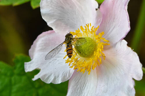


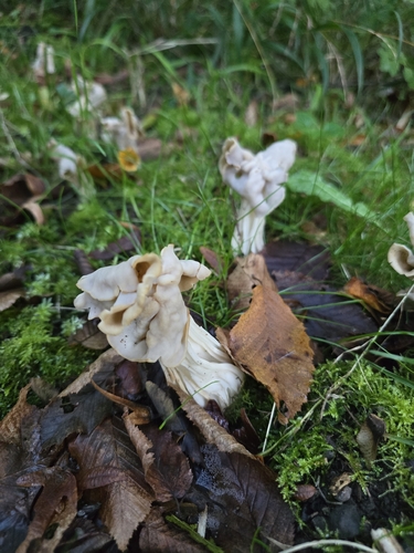
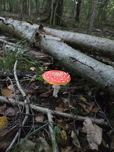
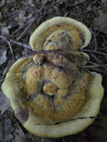
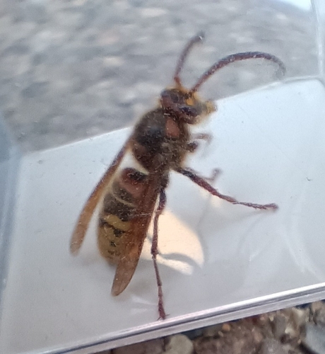
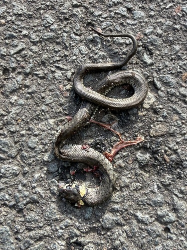
Research-grade observations from iNaturalist (within ~15 mi).
Events
Notable, recurring, and historical events associated with Bremen, sourced from Wikidata.
- Q134882372Jun 3, 2025recurring event edition
- Q118542352May 18, 2023planned event
- Q133092409Sep 21, 2011recurring event edition
- Q134882367Jun 16, 2009recurring event edition
- FDP-Bundesparteitag 1979Jun 15, 1979planned event
- Q133092253Sep 14, 1953recurring event edition
Source: Wikidata (CC0).
Gallery
Geotagged photos within ~6 miles of Bremen, from Wikimedia Commons contributors.


.jpg)
.jpg)
.jpg)
Photos via Wikimedia Commons — see each image page for license & attribution.
Official Identifiers
Destatis — German Federal Statistical Office
- AGS
- 04011000
- Population (Wikidata)
- 577,026
- Wikidata
- Q24879
Amtlicher Gemeindeschlüssel (AGS) via Wikidata P439
Sources
- • Wikipedia
- • Wikimedia Commons
- • Wikidata
- • Open-Meteo Air Quality (CAMS)
- • USGS Earthquake Catalog (global feed)
- • GBIF (Global Biodiversity Information Facility)
- • iNaturalist
- • Open-Meteo / sunrise-sunset.org
- • Wikipedia Pageviews API
- • Open Library
- • Wikidata SPARQL (CC0) — population, area, elevation, inception, head of government, Commons image
- • Destatis — German Federal Statistical Office — Amtlicher Gemeindeschlüssel (AGS) via Wikidata P439