Browse / Germany / Brandenburg / Fehrbellin
Fehrbellin
Brandenburgtown

Fehrbellin
Total population
9,000
Demographic figures from Destatis. Overview below cites Wikipedia and may reference a different year.
City facts
Sister cities
Facts from Wikidata (CC0).
Overview
Fehrbellin is a municipality in Germany, located 60 km NW of Berlin. It had 9,310 inhabitants as of 2005, but has since declined to 8,606 inhabitants in 2012.
Read more on WikipediaHistory & geography
History
In 1675, the Battle of Fehrbellin was fought there, in which the troops of Brandenburg-Prussia defeated those of the occupying Swedish Empire. In 1758 during the Seven Years' War Prussian and Swedish forces clashed at the Battle of Fehrbellin (1758). From 1815 to 1945, Fehrbellin was part of the Prussian Province of Brandenburg. From 1952 to 1990, it was part of the Bezirk Potsdam of East Germany. One of the most important skydiving dropzones of Germany is located at the local airport.
Excerpted from the corresponding Wikipedia article (CC BY-SA).
Geography
Coordinates & boundaries from the US Census TIGER/Line shapefiles.
Climate
Air quality
Walkability
Amenities nearby
Wildlife & biodiversity
Earthquake history
Photos
Sights & places nearby
Notable people from here


People born within ~10 km, from Wikidata (CC0). Click any name for their Wikipedia article.
Nearby places in Brandenburg
Geography & sun
Elevation, sunrise/sunset and daylight from Open-Meteo. Solar climatology from NASA POWER.
Nearby airports
Public attention
Pageview totals from the Wikimedia Pageviews API.
Books about Fehrbellin


Search results from Open Library.
Recent natural events nearby
Ground air-quality sensors
Recently spotted species
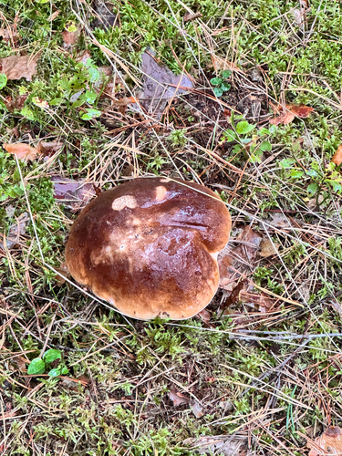

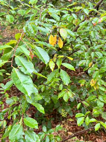
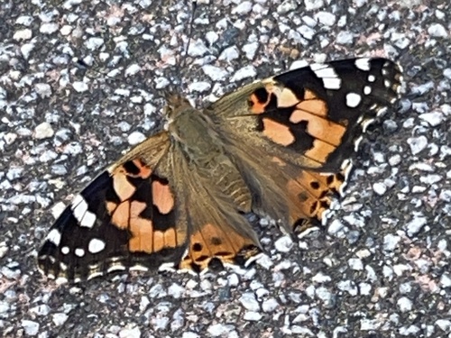
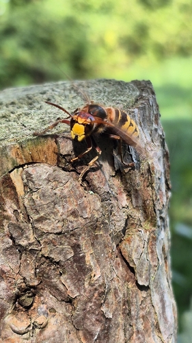
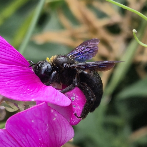
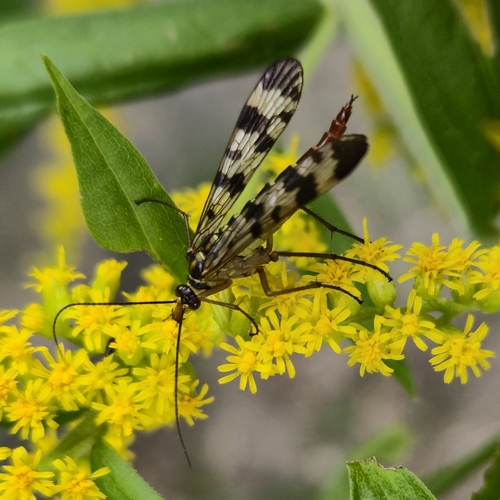
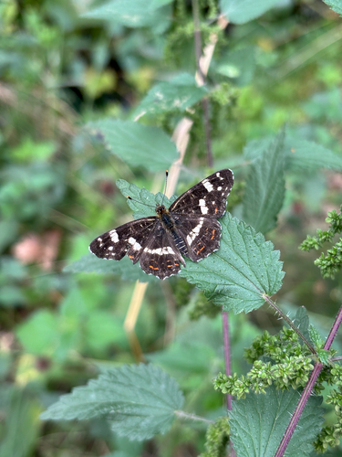
Research-grade observations from iNaturalist (within ~15 mi).
Events
Gallery
Official Identifiers
Destatis — German Federal Statistical Office
- AGS
- 12068117
- Population (Wikidata)
- 9,049
- Wikidata
- Q626792
Amtlicher Gemeindeschlüssel (AGS) via Wikidata P439
Sources
- • Wikipedia
- • Wikidata
- • iNaturalist
- • Open-Meteo / sunrise-sunset.org
- • Wikipedia Pageviews API
- • Open Library
- • Wikidata SPARQL (CC0) — population, area, elevation, inception, head of government, Commons image
- • Destatis — German Federal Statistical Office — Amtlicher Gemeindeschlüssel (AGS) via Wikidata P439