Browse / Denmark / Southern Denmark / Ødis
Ødis
Southern Denmarkvillage
Total population
490
Demographic figures from Statistics Denmark. Overview below cites Wikipedia and may reference a different year.
City facts
Overview
Ødis is a village in Southern Jutland, Denmark, with a population of 481, located 7 km east of Vamdrup, 12 km northwest of Christiansfeld, and 13 km southwest of Kolding. The village is part of Kolding Municipality in Region of Southern Denmark. From 1970 to 2006, Ødis was part of Vamdrup Municipality.
Read more on WikipediaHistory & geography
History
Archaeological finds from the Neolithic have been found south of Ødis Lake, and a Bronze Age refuse layer was discovered north of the lake. Two burial mounds in Drenderup Forest are believed to date from around the time of Christ, and remains of a 600-700-year-old water mill were discovered west of Ødis Lake. In 1904, Ødis was described as follows: "Ødis with Church, Parsonage, School and Primary School, Mission House (built 1893), Savings Bank (founded 1880...232 accounts), Mill and Inn". The 19th-century map shows a brickworks, and the 20th-century map shows a bakery and two blacksmith shops. Ødis had a railway station on the Kolding Sydbaner line from Kolding to Vamdrup (1911–1948). The station had a 100-meter siding and an animal pen. The station building still exists at Stationsvej 15. With the railway, the town gained a midwife, shop, knitwear store, saddler, cooperative, dairy, mill, and a telephone exchange serving 49 subscribers (the same number in 1924 and 1942). A stone on Church Square originally commemorated the loss of Schleswig in 1864 and was later updated to commemorate the Reunion of 1920.
Excerpted from the corresponding Wikipedia article (CC BY-SA).
Geography
Coordinates & boundaries from the US Census TIGER/Line shapefiles.
Climate
Air quality
Walkability
Amenities nearby
Wildlife & biodiversity
Earthquake history
Photos
Sights & places nearby
Notable people from here


People born within ~10 km, from Wikidata (CC0). Click any name for their Wikipedia article.
Nearby places in Southern Denmark
- Stepping3.8 mi away · pop. 411
- Vamdrup3.9 mi away · pop. 5,025
- Skanderup4.1 mi away · pop. 370
- Christiansfeld5.5 mi away · pop. 2,709
- Kolding6.8 mi away · pop. 60,508
- Sommersted7 mi away
- Sønder Bjert7.7 mi away
- Hejls7.8 mi away
- Store Andst7.8 mi away
- Jels7.8 mi away
- Skodborg9 mi away · pop. 1,295
- Hejlsminde9.1 mi away
Geography & sun
Elevation, sunrise/sunset and daylight from Open-Meteo. Solar climatology from NASA POWER.
Nearby airports
Public attention
Pageview totals from the Wikimedia Pageviews API.
Books about this place
Recent natural events nearby
Ground air-quality sensors
Recently spotted species

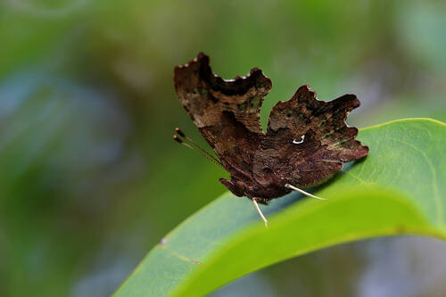
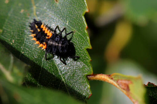
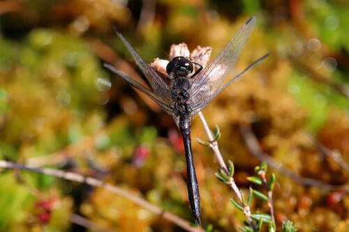
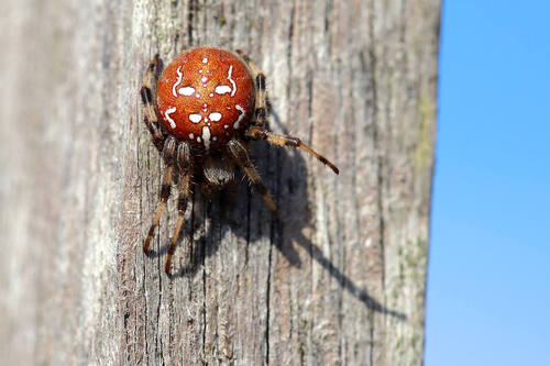
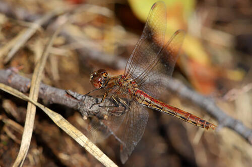
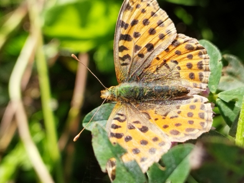
Research-grade observations from iNaturalist (within ~15 mi).
Events
Gallery
Sources
- • Wikipedia
- • Wikidata
- • iNaturalist
- • Open-Meteo / sunrise-sunset.org
- • Wikipedia Pageviews API