Browse / Denmark / Zealand / Gedser
Gedser
Zealandvillage

Gedser
Total population
786
Demographic figures from Statistics Denmark. Overview below cites Wikipedia and may reference a different year.
City facts
Facts from Wikidata (CC0).
Overview
Gedser is a town at the southern tip of the Danish island of Falster in the Guldborgsund Municipality in Sjælland region. It is the southernmost town in Denmark, and also the southernmost point of Scandinavia and the Nordic countries. The town has a population of 610. It is an important port town on the Baltic Sea.
Read more on WikipediaHistory & geography
History
Gedser Church was designed by Peder Vilhelm Jensen-Klint and dates from 1915. Gedser was the first place German troops landed during the occupation of Denmark on 9 April 1940, at 3:55 in the morning. A number of armored cars and infantry troops hid in the ferry from Warnemünde, Rostock and advanced into the harbor as soon as the ship docked, soon after followed by another ferry. Until 1 January 2007, Gedser was a parish of the former municipality of Sydfalster (seat : Væggerløse) in Storstrøm County. In the Kommunalreformen ("The Municipality Reform" of 2007) that municipality merged with Nykøbing Falster, Nysted, Nørre Alslev, Sakskøbing and Stubbekøbing to form Guldborgsund Municipality. The local museum is [http://detsortegeomuseum.dk/ Det Sorte Museum] [The Black Museum], with elements of local geology, including Baltic amber, and occasional temporary exhibitions, such as dinosaurs.
Geography
Situated in the southernmost part of Denmark on the island of Falster, Gedser is a port town on the Baltic Sea. European route E55 (Helsingborg-Kalamata) passes through the town. Gedser Odde is the southernmost point in Denmark.
Excerpted from the corresponding Wikipedia article (CC BY-SA).
Geography
Coordinates & boundaries from the US Census TIGER/Line shapefiles.
Climate
Air quality
Walkability
Amenities nearby
Wildlife & biodiversity
Earthquake history
Photos
Sights & places nearby
Notable people from here


People born within ~10 km, from Wikidata (CC0). Click any name for their Wikipedia article.
Nearby places in Zealand
- Gedesby1.8 mi away · pop. 152
- Gedesby Strand1.9 mi away
- Skelby4 mi away · pop. 116
- Nykøbing Strandhuse5.8 mi away · pop. 279
- Marielyst7.9 mi away · pop. 693
- Væggerløse9.2 mi away · pop. 1,362
- Nysted9.9 mi away · pop. 1,345
- Frejlev10.9 mi away · pop. 188
- Kettinge11.5 mi away · pop. 559
- Idestrup11.5 mi away · pop. 1,212
- Nagelsti12.2 mi away · pop. 492
- Sønder Vedby Skovhuse12.9 mi away · pop. 307
Geography & sun
Elevation, sunrise/sunset and daylight from Open-Meteo. Solar climatology from NASA POWER.
Nearby airports
Public attention
Pageview totals from the Wikimedia Pageviews API.
Books about this place
Recent natural events nearby
Ground air-quality sensors
Recently spotted species
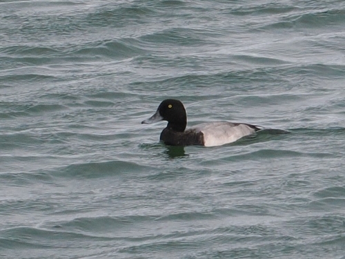
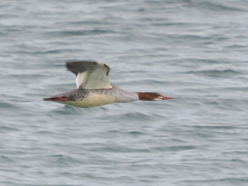
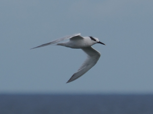
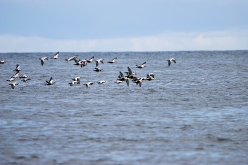
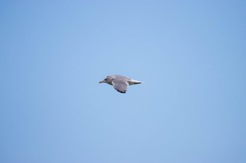
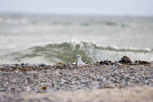
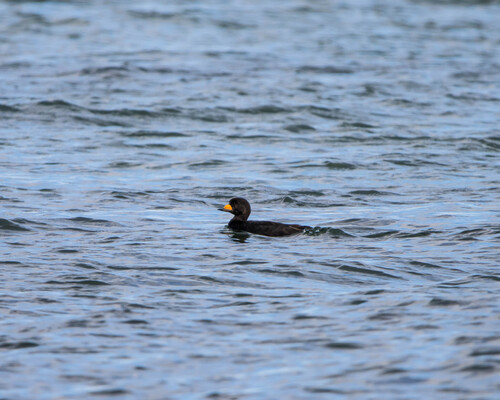
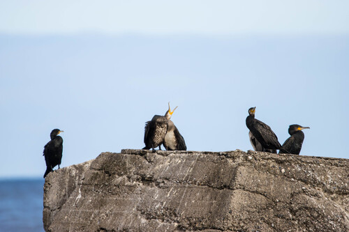
Research-grade observations from iNaturalist (within ~15 mi).
Events
Gallery
Sources
- • Wikipedia
- • Wikidata
- • iNaturalist
- • Open-Meteo / sunrise-sunset.org
- • Wikipedia Pageviews API