Browse / Denmark / Zealand / Maribo
Maribo
Zealandtown

Maribo
Total population
5,936
Demographic figures from Statistics Denmark. Overview below cites Wikipedia and may reference a different year.
City facts
Sister cities
Facts from Wikidata (CC0).
Overview
Maribo is a town in Lolland Municipality in Region Sjælland on the island of Lolland in south Denmark. It was the municipal seat of the former Maribo Municipality, until 1 January 2007, and then it became the seat of the current Lolland Municipality.
Read more on WikipediaHistory & geography
History
Saint Birgitta (1303–1373), also known as Birgitta of Vadstena, has cast her shadow on this municipality, and is shown on the municipality's coat-of-arms. Her order established the Bridgettine Order's Abbey in Maribo, when 1416 monks from Vadstena Abbey were sent to Maribo, then called Skimminge, to help establish a monastery. In 1536, however, the abbey was abolished and transformed into a convent for noble virgins in 1556. After the old town church burned down in 1596, the abbey church then in place received status as town church. King Christian IV's daughter, Leonora Christina Ulfeldt, was probably the abbey's most famous resident. In 1685 after her release from 21 years imprisonment for high treason from the Blue Tower (Blåtårn) in Copenhagen's Castle, she spent her final years in the then already dilapidated abbey, and was buried in a crypt at the church, until her body was removed shortly after the burial. In 1803-1804 the islands of Lolland-Falster, which previously belonged to the Funen diocese, were made into an independent diocese, and the abbey church was given the status of the diocese's cathedral (domkirke) now known as Maribo Cathedral. The bishop, however, resides in Nykøbing Falster. Several times during the 1800s the church has been secured against decline.
Excerpted from the corresponding Wikipedia article (CC BY-SA).
Geography
Coordinates & boundaries from the US Census TIGER/Line shapefiles.
Climate
Air quality
Walkability
Amenities nearby
Wildlife & biodiversity
Earthquake history
Photos
Sights & places nearby
Notable people from here


People born within ~10 km, from Wikidata (CC0). Click any name for their Wikipedia article.
Nearby places in Zealand
- Hunseby1.6 mi away · pop. 436
- Hillested2.8 mi away · pop. 259
- Nørreballe3.7 mi away · pop. 532
- Bandholm4.3 mi away · pop. 650
- Holeby4.8 mi away · pop. 1,436
- Sakskøbing5.4 mi away · pop. 4,565
- Stokkemarke7 mi away · pop. 450
- Øster Ulslev7.3 mi away · pop. 293
- Rødby7.3 mi away · pop. 2,143
- Errindlev7.5 mi away · pop. 310
- Store Musse7.6 mi away
- Rødbyhavn9.6 mi away · pop. 1,669
Geography & sun
Elevation, sunrise/sunset and daylight from Open-Meteo. Solar climatology from NASA POWER.
Nearby airports
Public attention
Pageview totals from the Wikimedia Pageviews API.
Books about this place
Recent natural events nearby
Ground air-quality sensors
Recently spotted species
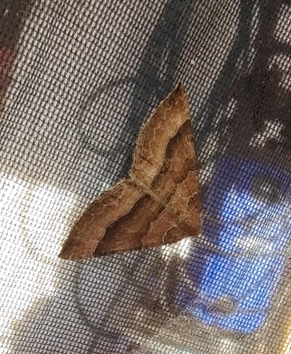
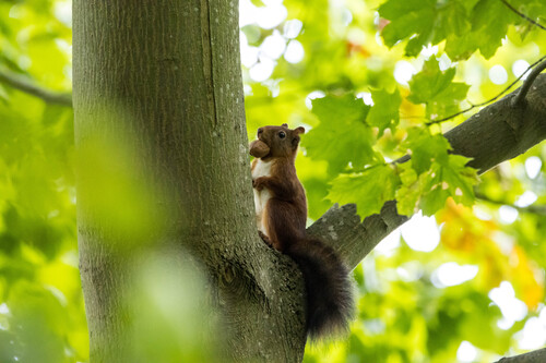
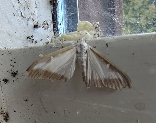
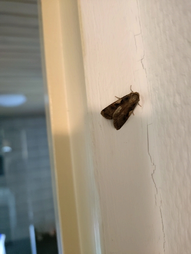
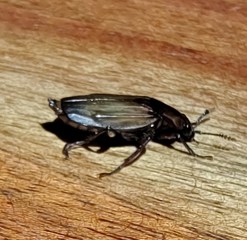
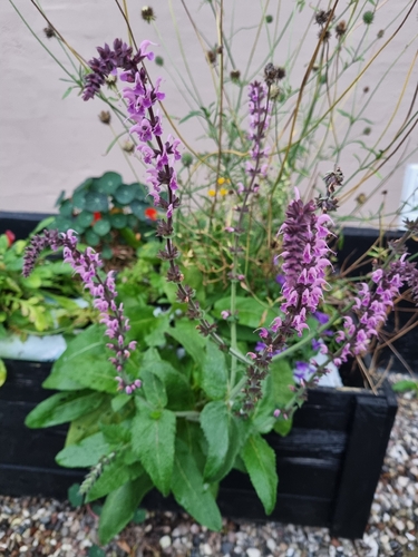
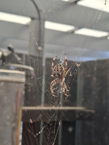
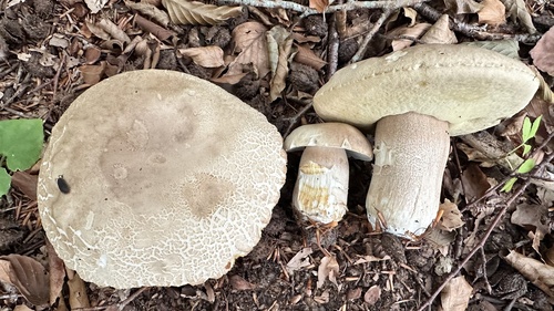
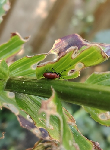
Research-grade observations from iNaturalist (within ~15 mi).
Events
Gallery
Official Identifiers
DST — Statistics Denmark
- Kommunekode
- 363
- Wikidata
- Q2623990
Municipality code via Wikidata P1168
Sources
- • Wikipedia
- • Wikidata
- • iNaturalist
- • Open-Meteo / sunrise-sunset.org
- • Wikipedia Pageviews API
- • DST — Statistics Denmark — Municipality code via Wikidata P1168