Browse / Denmark / Zealand / Sakskøbing
Sakskøbing
Zealandtown

Sakskøbing
Total population
4,565
Demographic figures from Statistics Denmark. Overview below cites Wikipedia and may reference a different year.
City facts
Overview
Sakskøbing, previously spelled Sakskjøbing, is a town on the island of Lolland in south Denmark. It has a population of 4,580. Until 1 January 2007 it was the seat of the former Sakskøbing Municipality, and is now situated in Guldborgsund Municipality in Region Sjælland.
Read more on WikipediaHistory & geography
History
The town is mentioned for the first time as "Saxakopingh" in the Danish Census Book from 1240. The town suffered from several fires, including in 1728, 1784 and 1800. In 1874, Sakskøbing was connected to the Danish rail network as the Lollandsbanen railway line between Nykøbing Falster and Nakskov was opened.
Geography
Sakskøbing is located on the north-eastern part of the island of Lolland in a flat and fertile moraine landscape. The town is located by a tunnel valley, a glacial terrain formation which runs from Sakskøbing in the northwest to the Guldborgsund strait in the southeast. It is located where the Sakskøbing River () empties into the Sakskøbing Fjord, an approximately long narrow and navigable inlet of Smålandsfarvandet, the body of water between the islands of Zealand, Lolland, Falster and Møn, and which on the last stretch to Sakskøbing narrows completely so that it looks more like a river than a inlet.
Excerpted from the corresponding Wikipedia article (CC BY-SA).
Geography
Coordinates & boundaries from the US Census TIGER/Line shapefiles.
Climate
Air quality
Walkability
Amenities nearby
Wildlife & biodiversity
Earthquake history
Photos
Sights & places nearby
Notable people from here
Nearby places in Zealand
- Hunseby4.5 mi away · pop. 436
- Maribo5.4 mi away · pop. 5,936
- Grænge5.5 mi away · pop. 389
- Store Musse5.7 mi away
- Bandholm6.6 mi away · pop. 650
- Guldborg6.7 mi away · pop. 567
- Toreby6.9 mi away · pop. 624
- Øster Ulslev7.1 mi away · pop. 293
- Nørreballe8.1 mi away · pop. 532
- Kettinge8.1 mi away · pop. 559
- Hillested8.1 mi away · pop. 259
- Øster Toreby8.5 mi away
Geography & sun
Elevation, sunrise/sunset and daylight from Open-Meteo. Solar climatology from NASA POWER.
Nearby airports
Public attention
Pageview totals from the Wikimedia Pageviews API.
Books about this place
Recent natural events nearby
Ground air-quality sensors
Recently spotted species
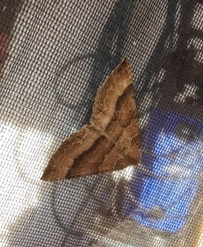
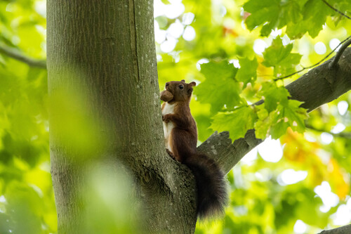
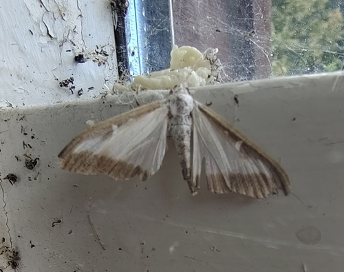


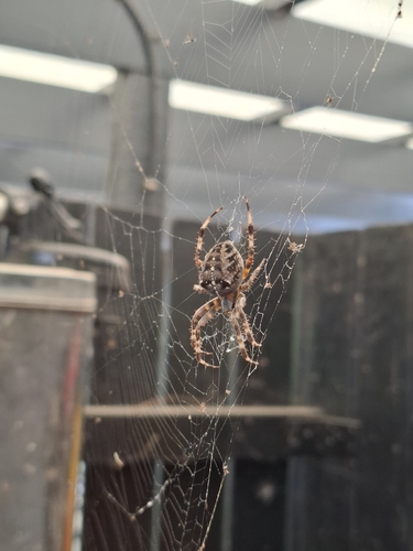
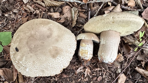


Research-grade observations from iNaturalist (within ~15 mi).
Events
Gallery
Official Identifiers
DST — Statistics Denmark
- Kommunekode
- 387
- Wikidata
- Q1465028
Municipality code via Wikidata P1168
Sources
- • Wikipedia
- • iNaturalist
- • Open-Meteo / sunrise-sunset.org
- • Wikipedia Pageviews API
- • DST — Statistics Denmark — Municipality code via Wikidata P1168