Browse / Denmark / Southern Denmark / Marstal
Marstal
Southern Denmarktown

Marstal
Total population
2,370
Demographic figures from Statistics Denmark. Overview below cites Wikipedia and may reference a different year.
City facts
Facts from Wikidata (CC0).
Overview
Marstal is a town in southern Denmark, located in Ærø Municipality on the island of Ærø. Marstal has a population of 1,989 and is the largest town on Ærø. It was the municipal seat of the now abolished Marstal Municipality.
Read more on WikipediaHistory & geography
History
Marstal is a shipping town founded in the 16th century. During the 17th and 18th centuries its living depended predominantly on the building and sailing of wooden ships. In the harbour is a small island Frederiksøen, which today is called the Lime Kiln (Kalkovnen). The impressive fieldstone pier at the island was built in 1825 by local seamen on a voluntary basis. The island was in use as a repair yard for ships, until in 1863 it was rented out for lime burning. The town did not grow around a square or a church, its houses were simply erected along the paths leading upwards from the jetties. As the town grew transverse ring-roads were added, and the narrowness of the settlement often meant that the houses were placed somewhat coincidentally. The First World War put an end to optimism and changed the glorious maritime traditions of Marstal. 42 ships from Marstal were sunk at the loss of 53 seamen. The Second World War deprived the small naval community of 80 of its young boys and seamen.
Excerpted from the corresponding Wikipedia article (CC BY-SA).
Geography
Coordinates & boundaries from the US Census TIGER/Line shapefiles.
Climate
Air quality
Walkability
Amenities nearby
Wildlife & biodiversity
Most-observed species
- Graylag GooseAnser anser (Linnaeus, 1758) · Aves4,133
- Eurasian Marsh-HarrierCircus aeruginosus (Linnaeus, 1758) · Aves3,966
- Northern LapwingVanellus vanellus (Linnaeus, 1758) · Aves3,925
- Barnacle GooseBranta leucopsis (Bechstein, 1803) · Aves3,634
- White-tailed EagleHaliaeetus albicilla (Linnaeus, 1758) · Aves3,548
- Mute SwanCygnus olor (J.F.Gmelin, 1789) · Aves3,313
- Great EgretArdea alba Linnaeus, 1758 · Aves3,225
- Gray/Purple HeronArdea cinerea Linnaeus, 1758 · Aves3,097
Citizen-science & research observations from the Global Biodiversity Information Facility (GBIF).
Earthquake history
Most recent
- M 2.5 — 2003-06-1515 km SE of Nyborg, Denmark
Events from the USGS Earthquake Catalog (global) (FDSN Event Web Service).
Photos
Sights & places nearby
Notable people from here
Nearby places in Southern Denmark
- Ommel1.7 mi away · pop. 294
- Kragnæs1.9 mi away · pop. 102
- Store Rise4.8 mi away · pop. 168
- Ærøskøbing4.8 mi away · pop. 938
- Tranderup6.4 mi away · pop. 369
- Vindeballe6.8 mi away · pop. 207
- Humble7.5 mi away
- Lindelse8.4 mi away · pop. 316
- Bjerreby8.7 mi away · pop. 351
- Bagenkop9.7 mi away · pop. 468
- Rudkøbing9.7 mi away · pop. 4,647
- Lundby10.1 mi away · pop. 275
Geography & sun
Nearby airports
Public attention
Books about this place
Recent natural events nearby
Ground air-quality sensors
Recently spotted species
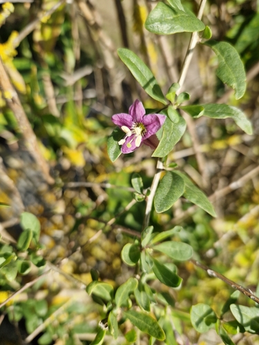
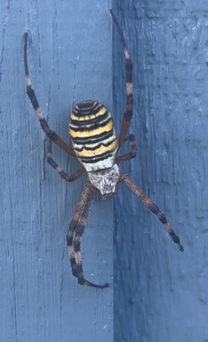
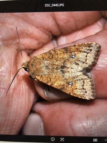
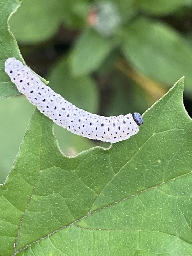
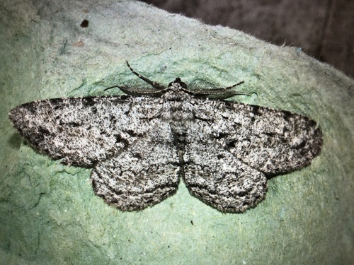
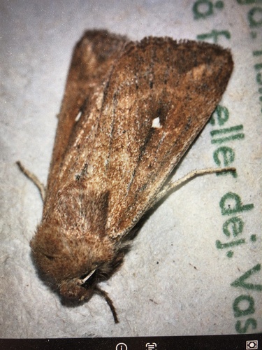
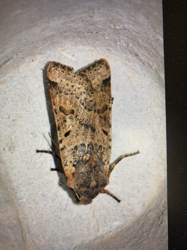
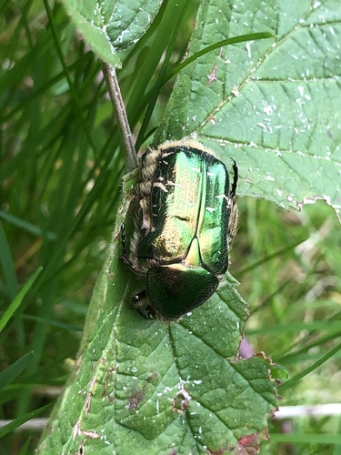
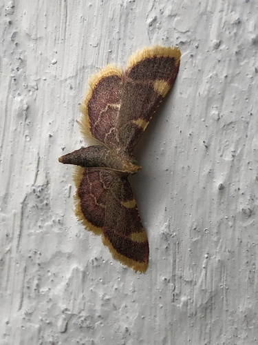
Research-grade observations from iNaturalist (within ~15 mi).
Events
Gallery
Official Identifiers
DST — Statistics Denmark
- Kommunekode
- 443
- Wikidata
- Q505631
Municipality code via Wikidata P1168
Sources
- • Wikipedia
- • Wikidata
- • USGS Earthquake Catalog (global feed)
- • GBIF (Global Biodiversity Information Facility)
- • iNaturalist
- • DST — Statistics Denmark — Municipality code via Wikidata P1168