Browse / Denmark / Capital Region / Værløse
Værløse
Capital Regiontown

Værløse
Total population
13,070
Demographic figures from Statistics Denmark. Overview below cites Wikipedia and may reference a different year.
City facts
Facts from Wikidata (CC0).
Overview
Værløse is a town in Furesø Municipality in the northwestern outskirts of Copenhagen, Denmark. As of 1 January 2026, it has a population of 13,197. Situated on the west side of the Hillerød Motorway, between Farum Lake to the north and Søndersø Lake to the south, it is surrounded by forest on three sides. Modern Værløse emerged around Værløse station in the 1950s. The original centre of the parish was the village of Kirke Værløse, located three kilometres to the west. The two communities have now almost merged.
Read more on WikipediaHistory & geography
History
Kirke Værløse is mentioned in 1321–23 as Vetherløsa maklæ. The meaning of the name is unclear but it may be an old name for the lake Søndersø. The suffix -løse means "area used for grazing in a clearing" (Danish: "græsgang i lysning"). The word maklæ (newer Danish magle) means great or large. With the opening of the Slangerup Rail Line in 1906, Lille Værløse ("Little Værløse"), a smaller village three kilometres to the east, obtained a more favorable location. Its surroundings was redeveloped with summer houses in the 1940s. DSB took over the Slangerup Rail Line in 1945, shortening it with Farum as the new terminus in 1943. The rapid growth of Copenhagen's suburbs in the 1950s and 1960s also affected Lille Værløse, whose population quintupled between 1950 and 1970. The civil parish of Værløse formed the basis of Værløse Municipality which existed until 2006. On 1 January 2007 it was merged with the former Farum Municipality to form Furesø Municipality.
Excerpted from the corresponding Wikipedia article (CC BY-SA).
Geography
Coordinates & boundaries from the US Census TIGER/Line shapefiles.
Climate
Air quality
Walkability
Amenities nearby
Wildlife & biodiversity
Earthquake history
Photos
Sights & places nearby
Notable people from here


People born within ~10 km, from Wikidata (CC0). Click any name for their Wikipedia article.
Nearby places in Capital Region
- Hareskovby1.9 mi away
- Farum1.9 mi away · pop. 20,302
- Stavnsholt2.3 mi away · pop. 5,658
- Kirke Værløse2.4 mi away · pop. 979
- Laanshøj2.4 mi away · pop. 617
- Jonstrup2.6 mi away
- Måløv3.4 mi away · pop. 8,513
- Ballerup3.8 mi away · pop. 39,087
- Rudegård4.2 mi away
- Birkerød4.3 mi away · pop. 20,539
- Ganløse4.6 mi away · pop. 2,920
- Smørumnedre4.6 mi away · pop. 19,816
Geography & sun
Elevation, sunrise/sunset and daylight from Open-Meteo. Solar climatology from NASA POWER.
Nearby airports
Public attention
Pageview totals from the Wikimedia Pageviews API.
Books about this place
Recent natural events nearby
Ground air-quality sensors
Recently spotted species
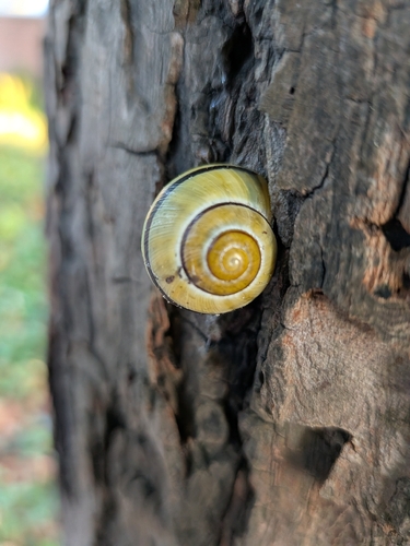
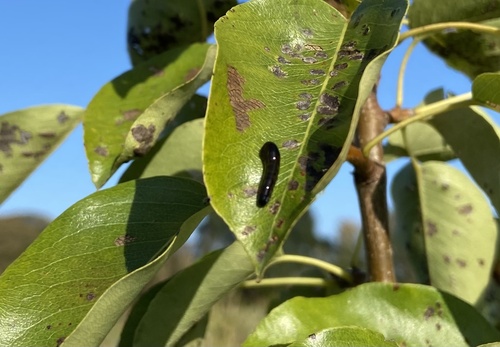
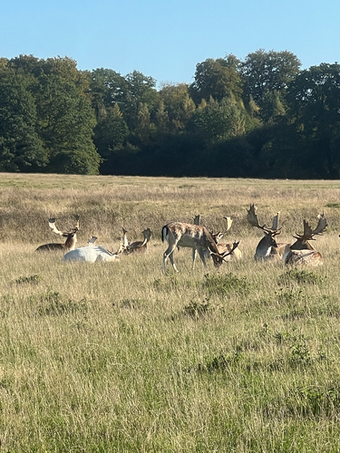
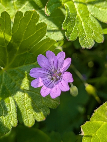
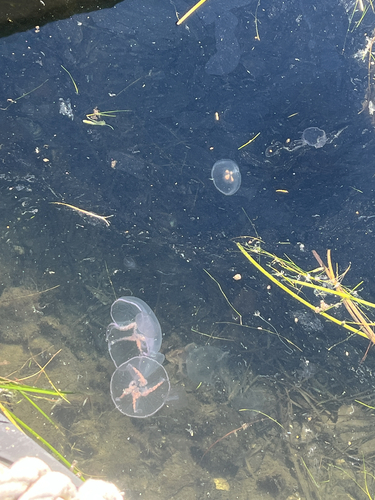
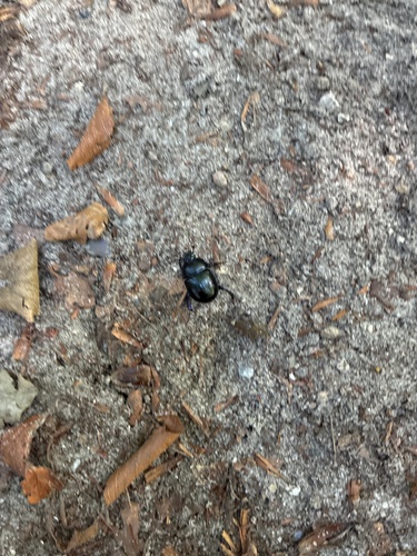
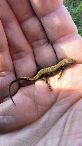
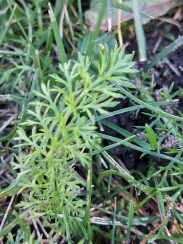

Research-grade observations from iNaturalist (within ~15 mi).
Events
Gallery
Official Identifiers
DST — Statistics Denmark
- Kommunekode
- 189
- Population (Wikidata)
- 18,633
- Wikidata
- Q178851
Municipality code via Wikidata P1168
Sources
- • Wikipedia
- • Wikidata
- • iNaturalist
- • Open-Meteo / sunrise-sunset.org
- • Wikipedia Pageviews API
- • DST — Statistics Denmark — Municipality code via Wikidata P1168