Browse / Denmark / Capital Region / Birkerød
Birkerød
Capital Regiontown

Birkerød
Total population
20,539
Demographic figures from Statistics Denmark. Overview below cites Wikipedia and may reference a different year.
City facts
Facts from Wikidata (CC0).
Overview
Birkerød is a town in Rudersdal Municipality in the northern outskirts of Copenhagen, Denmark. It is surrounded by several lakes and small woodlands. Birkerød station is located on the Hillerød radial of the S-train suburban network.
Read more on WikipediaHistory & geography
History
The parish of Birkerød contained the villages Birkerød, Kajerød, Bistrup, Ravnsnæs, Isterød, Høsterkøb, Sandbjerg and Ubberød. Birkerød became a railway town in 1868, when the Nordbanen railway opened a station here between Lyngby and Helsingør. This led to new growth and several brickyards opened in the area in the second half of the 19th century. The rail line between Copenhagen and Hillerød was later converted to an S-train suburban line and construction of new residential neighbourhoods accelerated in the 1940s which, in time, made Birkerød merge with Bistrup to the south, Kajerød to the west and Ravnsnæs to the east. Until 2007, Birkerød was its own municipality, known as Birkerød Municipality. This changed with the Strukturreformen.
Geography
Birkerød is bordered by 941-hectare Lake Furesø to the south and Lake Sjælsø to the north. The smaller Birkerød Lake is located just south of the railway station in the town centre. The approximately 86 hectares wetland Vaserne (in Danish) along the northeastern shores of Lake Furesø and the western part of Frederikslund Forest separate Birkerød (Bistrup) from Holte to the southeast. Bistrup Hegn is situated between Bistrup to the south and Birkerød to the north. Rude Forest is located to the east of Birkerød. Eskemose Forest at Lake Sjælsø, north of Kajerød, is the site of several natural springs.
Excerpted from the corresponding Wikipedia article (CC BY-SA).
Geography
Coordinates & boundaries from the US Census TIGER/Line shapefiles.
Climate
Air quality
Walkability
Amenities nearby
Wildlife & biodiversity
Earthquake history
Photos
Sights & places nearby
Notable people from here


People born within ~10 km, from Wikidata (CC0). Click any name for their Wikipedia article.
Nearby places in Capital Region
- Rudegård1.5 mi away
- Ravnsnæs1.8 mi away · pop. 615
- Stavnsholt2.1 mi away · pop. 5,658
- Høsterkøb2.3 mi away · pop. 298
- Blovstrød2.5 mi away · pop. 2,195
- Brådebæk3 mi away
- Farum3.1 mi away · pop. 20,302
- Gammel Holte3.4 mi away
- Lillerød3.5 mi away · pop. 16,878
- Hørsholm4.1 mi away · pop. 47,489
- Trørød4.1 mi away · pop. 8,576
- Værløse4.3 mi away · pop. 13,070
Geography & sun
Elevation, sunrise/sunset and daylight from Open-Meteo. Solar climatology from NASA POWER.
Nearby airports
Public attention
Pageview totals from the Wikimedia Pageviews API.
Books about this place
Recent natural events nearby
Ground air-quality sensors
Recently spotted species

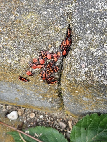
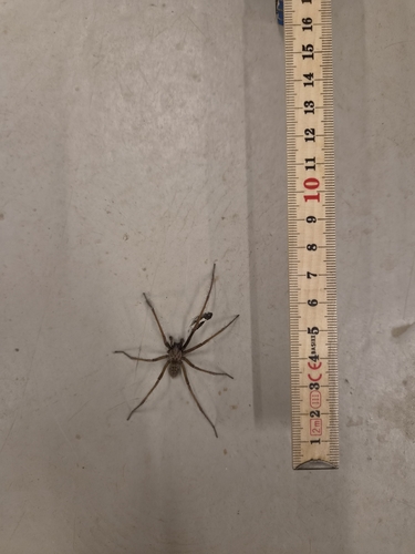
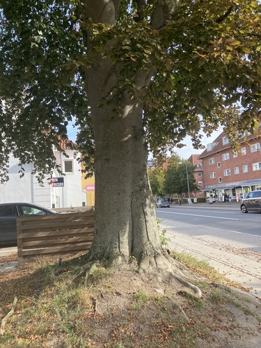
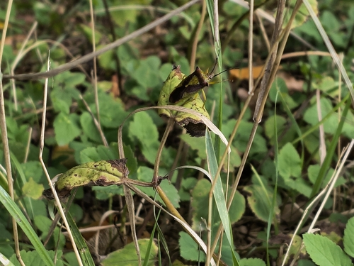
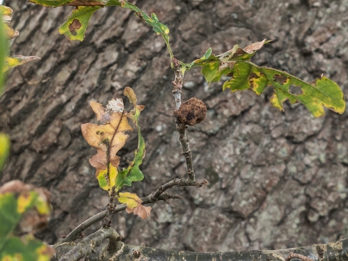
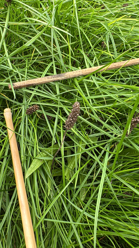
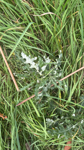
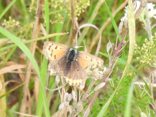
Research-grade observations from iNaturalist (within ~15 mi).
Events
Gallery
Official Identifiers
DST — Statistics Denmark
- Kommunekode
- 205
- Population (Wikidata)
- 18,986
- Wikidata
- Q865652
Municipality code via Wikidata P1168
Sources
- • Wikipedia
- • Wikidata
- • iNaturalist
- • Open-Meteo / sunrise-sunset.org
- • Wikipedia Pageviews API
- • DST — Statistics Denmark — Municipality code via Wikidata P1168