Browse / Denmark / Capital Region / Trørød
Trørød
Capital Regionvillage
Total population
8,576
Demographic figures from Statistics Denmark. Overview below cites Wikipedia and may reference a different year.
City facts
Facts from Wikidata (CC0).
Overview
Trørød is a suburban district in Rudersdal Municipality, located approximately 20 kilometres north of central Copenhagen, Denmark. The original village has merged with the neighbouring communities of Vedbæk and Gammel Holte and now form the southernmost part of the urban agglomeration of Hørsholm. It is on the other sides surrounded by open farmland and the forests Jægersborg Hegn, Kohave Forest and Trørød Forest.
Read more on WikipediaHistory & geography
History
The name is recorded in 1370-80 as Thryrwth, which is derived from thrȳ, old Danish for the number three, and -rød, meaning "clearing in the forest" ("rudning). In 1682 Trørød consisted of 7 farms and 3 houses with no ground. In 1682 Trørød consisted of 7 farms and 3 houses without land. The total cultivated area was 117.2 barrels of land owed to 40.50 barrels of hart grain. The cultivation system was all-purpose use. In 1635, the relative distribution of seeds was: 48% carpet, 39% barley, 13% oats. In Trørød, there lived 313 inhabitants in 1906, in 1911 342 inhabitants, in 1916 439 inhabitants, in 1921 596 inhabitants, in 1925 796 inhabitants, in 1930 887 inhabitants, in 1935 874 inhabitants, in 1940 931 inhabitants, in 1945 971 and in 2024 21537 inhabitants. In 1911, Trørød had 342 inhabitants, of which 119 subsisted on agriculture, 126 on crafts and industry and 22 on trade.
Excerpted from the corresponding Wikipedia article (CC BY-SA).
Geography
Coordinates & boundaries from the US Census TIGER/Line shapefiles.
Climate
Air quality
Walkability
Amenities nearby
Wildlife & biodiversity
Earthquake history
Photos
Sights & places nearby
Notable people from here


People born within ~10 km, from Wikidata (CC0). Click any name for their Wikipedia article.
Nearby places in Capital Region
- Gammel Holte0.9 mi away
- Vedbæk1.4 mi away
- Nærum1.7 mi away
- Brådebæk1.9 mi away
- Skodsborg2.1 mi away · pop. 1,169
- Høsterkøb2.2 mi away · pop. 298
- Rudegård3.1 mi away
- Hørsholm3.1 mi away · pop. 47,489
- Ravnsnæs3.3 mi away · pop. 615
- Birkerød4.1 mi away · pop. 20,539
- Taarbæk4.5 mi away
- Kongens Lyngby5 mi away · pop. 53,501
Geography & sun
Elevation, sunrise/sunset and daylight from Open-Meteo. Solar climatology from NASA POWER.
Nearby airports
Public attention
Pageview totals from the Wikimedia Pageviews API.
Books about this place
Recent natural events nearby
Ground air-quality sensors
Recently spotted species
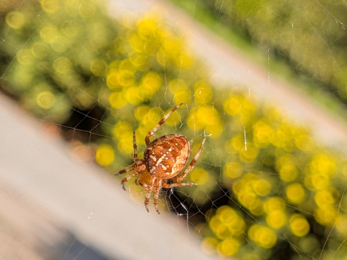
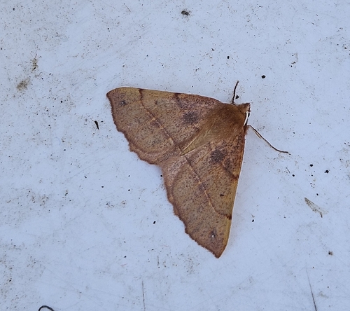
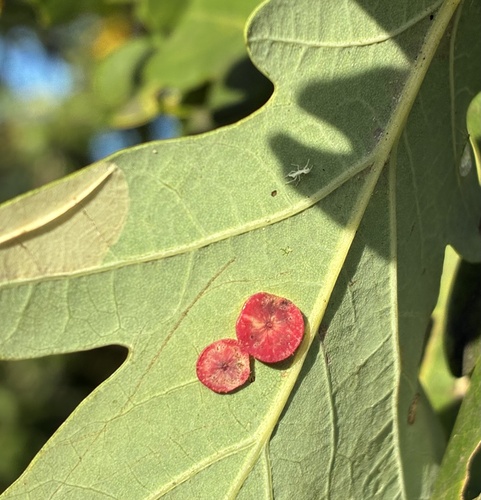
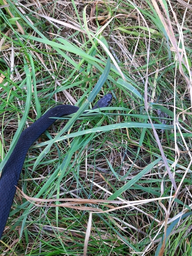
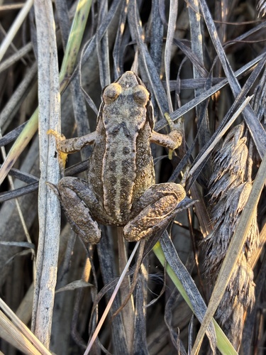
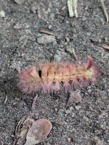
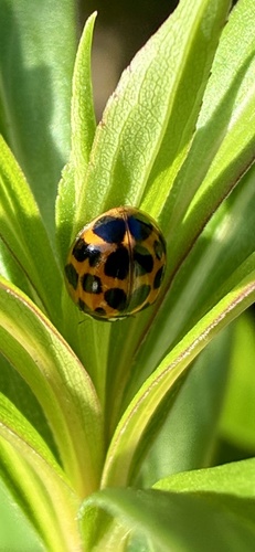
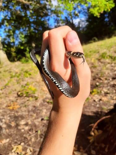
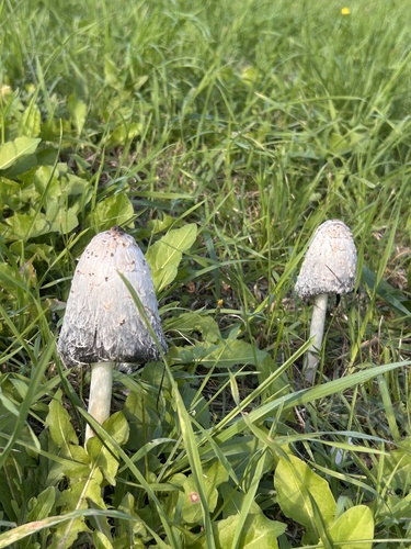
Research-grade observations from iNaturalist (within ~15 mi).
Events
Gallery
Sources
- • Wikipedia
- • Wikidata
- • iNaturalist
- • Open-Meteo / sunrise-sunset.org
- • Wikipedia Pageviews API