Browse / Denmark / Capital Region / Høsterkøb
Høsterkøb
Capital Regionvillage

Høsterkøb
Total population
298
Demographic figures from Statistics Denmark. Overview below cites Wikipedia and may reference a different year.
City facts
Overview
Høsterkøb is a village in Rudersdal Municipality, some 20 kilometres (12 mi) north of central Copenhagen, Denmark. It is bounded on the south by Rude Forest and on the north by open fields.
Read more on WikipediaHistory & geography
History
The village was probably founded some time during the transition between the Viking Age and the Middle Ages (900–1100). It is first recorded in a letter from 1186 where Pope Urban III thinks Bishop Absalon for giving it to Roskilde bishopric. It is also mentioned in the Roskilde Bishopric Census Book (Roskildebispens jordebog) from 1370. The area was administrated from Hjortholm Castle at Furesøen in Frederiksdal After the Reformation, when the Crown confiscated all land owned by the Church, Høsterkøb came under the Hørsholm Estate. This lasted until the 1760s when queen Sophie Magdalene introduced the first Danish agricultural reforms. Strategically located near the king's road to Hørsholm (Hørsholm Kongevej), the village had its own inn from at least the 17th century. The villagers were generally better off than those in other nearby villages. The area was known for its production of fruit, mostly cherries, and vegetables that was sold on the market in Copenhagen. Over a period of several hundred years, the area was used for harvesting peat. An outbreak of plaque in 1711 killed a hundred residents, half of Høsterkøb's population. Its proximity to Copenhagen made Høsterkøb a popular country retreat in the 20th century.
Excerpted from the corresponding Wikipedia article (CC BY-SA).
Geography
Coordinates & boundaries from the US Census TIGER/Line shapefiles.
Climate
Air quality
Walkability
Amenities nearby
Wildlife & biodiversity
Earthquake history
Photos
Sights & places nearby
Notable people from here


People born within ~10 km, from Wikidata (CC0). Click any name for their Wikipedia article.
Nearby places in Capital Region
- Brådebæk0.7 mi away
- Ravnsnæs1 mi away · pop. 615
- Gammel Holte2 mi away
- Hørsholm2 mi away · pop. 47,489
- Rudegård2.2 mi away
- Trørød2.2 mi away · pop. 8,576
- Birkerød2.3 mi away · pop. 20,539
- Vedbæk3.2 mi away
- Nærum3.3 mi away
- Kokkedal3.8 mi away · pop. 9,000
- Blovstrød3.8 mi away · pop. 2,195
- Skodsborg4.2 mi away · pop. 1,169
Geography & sun
Elevation, sunrise/sunset and daylight from Open-Meteo. Solar climatology from NASA POWER.
Nearby airports
Public attention
Pageview totals from the Wikimedia Pageviews API.
Books about this place
Recent natural events nearby
Ground air-quality sensors
Recently spotted species
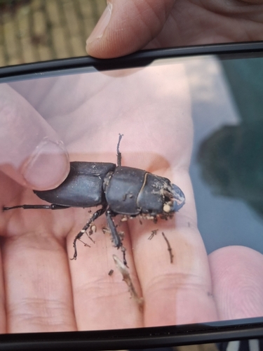
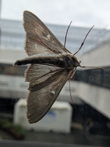
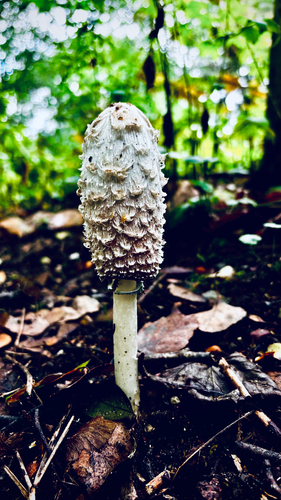
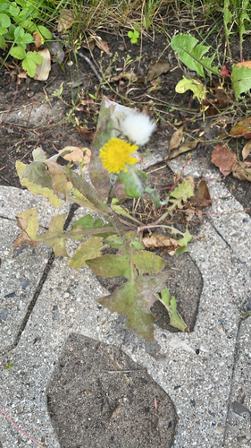
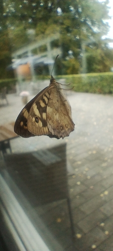
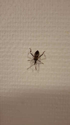
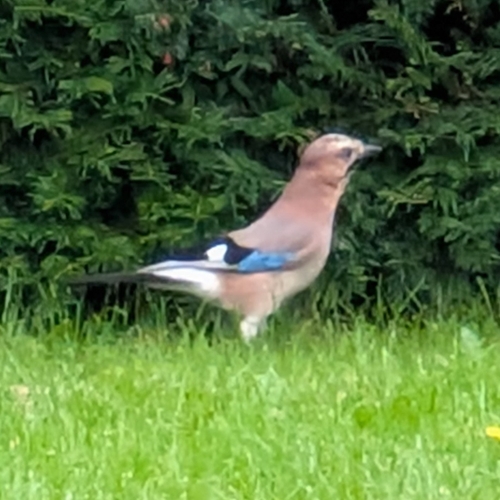
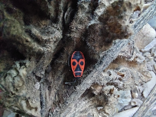
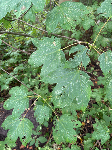
Research-grade observations from iNaturalist (within ~15 mi).
Events
Gallery
Sources
- • Wikipedia
- • Wikidata
- • iNaturalist
- • Open-Meteo / sunrise-sunset.org
- • Wikipedia Pageviews API