Browse / Denmark / Capital Region / Hørsholm
Hørsholm
Capital Regiontown

Hørsholm
Total population
47,489
Demographic figures from Statistics Denmark. Overview below cites Wikipedia and may reference a different year.
City facts
Sister cities
Facts from Wikidata (CC0).
Overview
Hørsholm is an urban area on the Øresund coast approximately 25 km (15.53 mi) north of Copenhagen, Denmark. It covers most of Hørsholm Municipality and straddles the borders neighbouring Fredensborg Municipality and Rudersdal Municipality.
Read more on WikipediaHistory & geography
History
Hørsholm was founded in connection with the construction of Hirschholm Palace. Niels Eigtved created a plan for a residence town in 1737 and to stimulate its growth, it was given status as market town in 1739. However, it never came to serve as a market town and was still only a small settlement when the palace was demolished between 1810 and 1816. Over the following decades it grew as a garrison town and a local centre for trade. A textile factory, later known as the Royal Military Textile Factory, had already been established in Usserød in the 1790s (closed 1981). It was later joined by other industrial enterprises, such as Hørsholm Textile Factory (1885–1975), Hørsholm Tobakspakkeri og Hørsholm Iron Foundry (1900–1965). In the 20th century, Hørsholm gradually grew together with the neighbouring communities Usserød, Rungsted and Smidstrup. Most recently, Hørsholm has grown together with Kokkedal in Fredensborg-Humlebæk Municipality and Trørød, Vedbæk and Gammel Holte in Rudersdal Municipality.
Excerpted from the corresponding Wikipedia article (CC BY-SA).
Geography
Coordinates & boundaries from the US Census TIGER/Line shapefiles.
Climate
Air quality
Walkability
Amenities nearby
Wildlife & biodiversity
Most-observed species
- Eurasian BlackbirdTurdus merula Linnaeus, 1758 · Aves30,326
- Common BuzzardButeo buteo (Linnaeus, 1758) · Aves28,083
- Common Wood-PigeonColumba palumbus Linnaeus, 1758 · Aves27,996
- Great TitParus major Linnaeus, 1758 · Aves27,862
- Great Spotted WoodpeckerDendrocopos major (Linnaeus, 1758) · Aves26,490
- Eurasian Blue TitCyanistes caeruleus (Linnaeus, 1758) · Aves23,625
- Eurasian WrenTroglodytes troglodytes (Linnaeus, 1758) · Aves21,196
- Graylag GooseAnser anser (Linnaeus, 1758) · Aves20,966
Citizen-science & research observations from the Global Biodiversity Information Facility (GBIF).
Earthquake history
Most recent
- M 3.5 — 2026-05-207 km WSW of Bjæverskov, Denmark
- M 4.2 — 2012-08-0639 km WSW of Steninge, Sweden
- M 4.3 — 2008-12-167 km NW of Skurup, Sweden
- M 2.6 — 2005-03-1613 km NNW of Kalundborg, Denmark
- M 2.8 — 2005-03-0329 km E of Ebeltoft, Denmark
- M 3 — 2005-02-0329 km NNW of Nykøbing Sjælland, Denmark
Events from the USGS Earthquake Catalog (global) (FDSN Event Web Service).
Photos
Sights & places nearby
Notable people from here


People born within ~10 km, from Wikidata (CC0). Click any name for their Wikipedia article.
Nearby places in Capital Region
- Brådebæk1.6 mi away
- Kokkedal1.9 mi away · pop. 9,000
- Høsterkøb2 mi away · pop. 298
- Ravnsnæs2.2 mi away · pop. 615
- Ullerød2.6 mi away
- Trørød3.1 mi away · pop. 8,576
- Vedbæk3.2 mi away
- Gammel Holte3.5 mi away
- Nivå3.6 mi away · pop. 7,821
- Birkerød4.1 mi away · pop. 20,539
- Rudegård4.2 mi away
- Karlebo4.4 mi away · pop. 227
Geography & sun
Elevation, sunrise/sunset and daylight from Open-Meteo. Solar climatology from NASA POWER.
Nearby airports
Public attention
Pageview totals from the Wikimedia Pageviews API.
Books about this place
Recent natural events nearby
Ground air-quality sensors
Recently spotted species
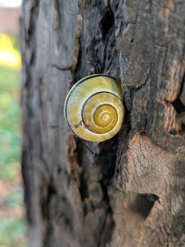
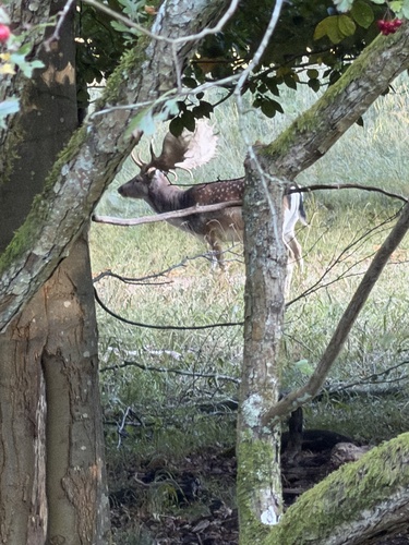
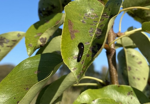
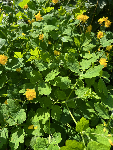
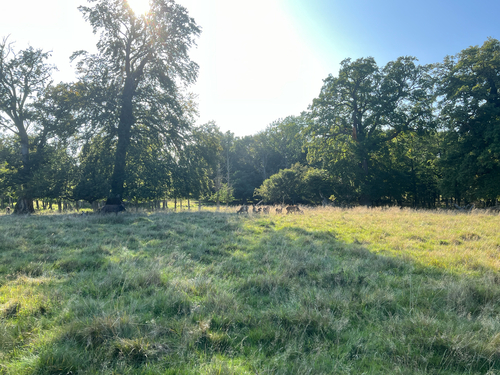
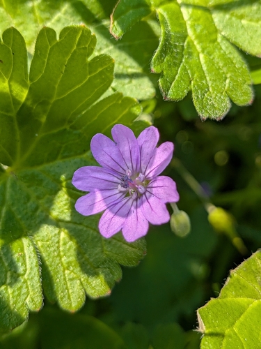
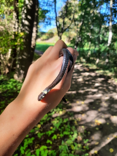
Research-grade observations from iNaturalist (within ~15 mi).
Events
Gallery
Official Identifiers
DST — Statistics Denmark
- Kommunekode
- 223
- Population (Wikidata)
- 24,917
- Wikidata
- Q512540
Municipality code via Wikidata P1168
Sources
- • Wikipedia
- • Wikidata
- • USGS Earthquake Catalog (global feed)
- • GBIF (Global Biodiversity Information Facility)
- • iNaturalist
- • Open-Meteo / sunrise-sunset.org
- • Wikipedia Pageviews API
- • DST — Statistics Denmark — Municipality code via Wikidata P1168