Browse / Denmark / Capital Region / Nærum
Nærum
Capital Regionvillage

Nærum
Demographic figures from Statistics Denmark. Overview below cites Wikipedia and may reference a different year.
City facts
Overview
Nærum is a suburban district in Rudersdal Municipality in the northern outskirts of Copenhagen, Denmark. Quartered by the Helsingør Motorway running north–south and Skodsborgvej running east–west, Nærum is bounded by Jægersborg Hegn on the south and east, Geel's Forest on the west, open fields on the north and the Søllerød district on the northwest. 5,230 people live in the parish of Nærum, most of them in low-rise concrete blocks or single-family houses.
Read more on WikipediaHistory & geography
History
A village has been there at least since the Iron Age, but the name Nærum was first recorded in 1186 when Bishop Absalon gave all his holdings, including Nærum, to Roskilde. It is believed that the name refers to his home Nóatún, the home of the god Njörðr, a Norse god associated with sea, seafaring, wind, fishing, wealth, and crop fertility. Traces of people and human activity have been found on the Nærum plain and in the Nærum area since the Peasant Stone Age. A looped long dolmen, two coffins and a few parts of flint tools dating back to the Stone Age were found on . From the Bronze Age, many burial mounds in the area (existing as well as looped) indicate human habitation. Some of the mounds, however, were originally from the Stone Age, but were recycled in the Bronze Age and in the investigated mounds, skeletal remains and flint tools from the Stone Age as well as a Bronze sword from the Bronze Age have been found. The current village itself called Nærum has existed since the Iron Age. The oldest part of the city is located around the street pond and up the hill to the main street. The estate Nærumgård was founded by Frederik Ludvigh Lemwigh, who was manager of the royal estates Frederiksdal and Dronninggård. A later owner, Peter Borre, brought more land under the estate and built a new main building between 177?? and 1781. Christian Colbiørnsen, who owned Nærumgård from 1781 to 1806, increased the estate further. In 1888 it was converted into an orphanage and the land was sold off to the municipality in 1906. Nærum was not disjoined from the parish of Søllerød until 1932.
Excerpted from the corresponding Wikipedia article (CC BY-SA).
Geography
Coordinates & boundaries from the US Census TIGER/Line shapefiles.
Climate
Air quality
Walkability
Amenities nearby
Wildlife & biodiversity
Earthquake history
Photos
Sights & places nearby
Notable people from here
Nearby places in Capital Region
- Skodsborg1.4 mi away · pop. 1,169
- Gammel Holte1.4 mi away
- Trørød1.7 mi away · pop. 8,576
- Vedbæk2.8 mi away
- Rudegård3 mi away
- Taarbæk3.1 mi away
- Høsterkøb3.3 mi away · pop. 298
- Brådebæk3.3 mi away
- Kongens Lyngby3.4 mi away · pop. 53,501
- Klampenborg3.6 mi away
- Jægersborg3.9 mi away
- Ravnsnæs4.3 mi away · pop. 615
Geography & sun
Elevation, sunrise/sunset and daylight from Open-Meteo. Solar climatology from NASA POWER.
Nearby airports
Public attention
Pageview totals from the Wikimedia Pageviews API.
Books about this place
Recent natural events nearby
Ground air-quality sensors
Recently spotted species
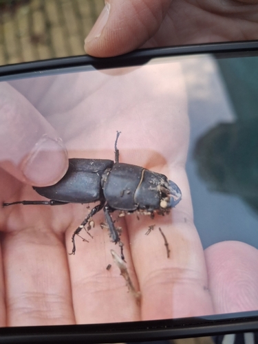
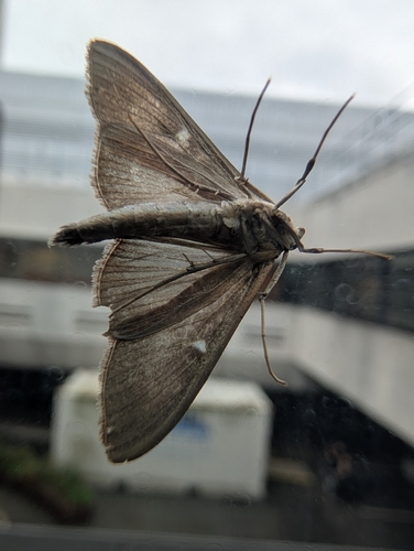
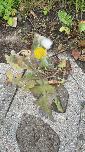
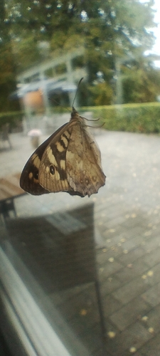
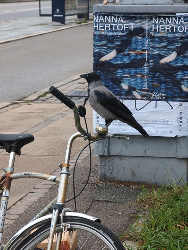
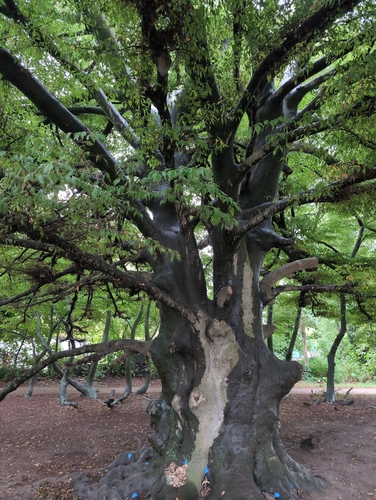
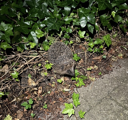
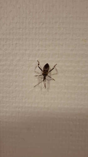
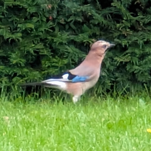
Research-grade observations from iNaturalist (within ~15 mi).
Events
Gallery
Sources
- • Wikipedia
- • iNaturalist
- • Open-Meteo / sunrise-sunset.org
- • Wikipedia Pageviews API