Browse / Denmark / Capital Region / Jægersborg
Jægersborg
Capital Regionvillage

Jægersborg
Air quality index
Demographic figures from Statistics Denmark. Overview below cites Wikipedia and may reference a different year.
City facts
Overview
Jægersborg is a suburban neighbourhood in Gentofte Municipality, some 12 km north of central Copenhagen, Denmark.
Read more on WikipediaHistory & geography
History
The whole area was from at least 1401 a royal estate known as Ibstrup (the earliest sources refer to it as Jepstorp). The nearest village was Mellerup located midway between Ibstrup and Ordrup. Its land came under Ibstrup when it disappeared in the middle of the 17th century. The Ibstrup estate was since Queen Margaret's day used for royal hunts, although King Frederick II was the first to establish a royal residence at the site. In 1611, Christian IV replaced it with a new building, Ibstrup Slot, in Dutch Renaissance style surrounded by moats. King Frederick III gave the property to his consort, Queen Sophie Amalie. Christian V, an enthusiast for hunting, renamed the house Jægersborg. A new tree-lined avenue, Jægersborg Allé, connected his property to Kongens Lyngby to the north and the Øresund coast to the east. He also made plans for the establishment of a deer park, Jægersborg Dyrehave, closing down the village Stokkerup. Jægersborg fell into disrepair in the middle of the 18th century and new barracks for the Guard Hussars were established in its grounds. The old main building was demolished in 1761. The land was sold off in lots and built over in the first half of the 20th century. Jægersborg Parish was disjoined from that of Gentofte in 1941,
Excerpted from the corresponding Wikipedia article (CC BY-SA).
Geography
Coordinates & boundaries from the US Census TIGER/Line shapefiles.
Climate
Air quality
Current readings from Open-Meteo Air Quality API (Copernicus CAMS European reanalysis).
Walkability
Amenities nearby
Wildlife & biodiversity
Most-observed species
- Common Wood-PigeonColumba palumbus Linnaeus, 1758 · Aves50,926
- Eurasian BlackbirdTurdus merula Linnaeus, 1758 · Aves46,735
- Great TitParus major Linnaeus, 1758 · Aves42,212
- MallardAnas platyrhynchos Linnaeus, 1758 · Aves38,379
- Eurasian MagpiePica pica (Linnaeus, 1758) · Aves38,312
- Graylag GooseAnser anser (Linnaeus, 1758) · Aves38,226
- Hooded CrowCorvus cornix Linnaeus, 1758 · Aves36,916
- Eurasian Blue TitCyanistes caeruleus (Linnaeus, 1758) · Aves35,708
Citizen-science & research observations from the Global Biodiversity Information Facility (GBIF).
Earthquake history
Most recent
- M 3.5 — 2026-05-207 km WSW of Bjæverskov, Denmark
- M 4.2 — 2012-08-0639 km WSW of Steninge, Sweden
- M 4.3 — 2008-12-167 km NW of Skurup, Sweden
- M 2.6 — 2005-03-1613 km NNW of Kalundborg, Denmark
- M 2.8 — 2005-03-0329 km E of Ebeltoft, Denmark
- M 3 — 2005-02-0329 km NNW of Nykøbing Sjælland, Denmark
Events from the USGS Earthquake Catalog (global) (FDSN Event Web Service).
Photos
Sights & places nearby
Notable people from here
Nearby places in Capital Region
- Kongens Lyngby1.6 mi away · pop. 53,501
- Klampenborg1.7 mi away
- Skovshoved2 mi away
- Taarbæk2.7 mi away
- Nærum3.9 mi away
- Skodsborg4.3 mi away · pop. 1,169
- Herlev4.8 mi away · pop. 26,890
- Gammel Holte5.1 mi away
- Hareskovby5.3 mi away
- Copenhagen5.3 mi away · pop. 613,288
- Rudegård5.5 mi away
- Trørød5.6 mi away · pop. 8,576
Geography & sun
Elevation, sunrise/sunset and daylight from Open-Meteo. Solar climatology from NASA POWER.
Nearby airports
Public attention
Pageview totals from the Wikimedia Pageviews API.
Books about this place
Recent natural events nearby
Ground air-quality sensors
Recently spotted species
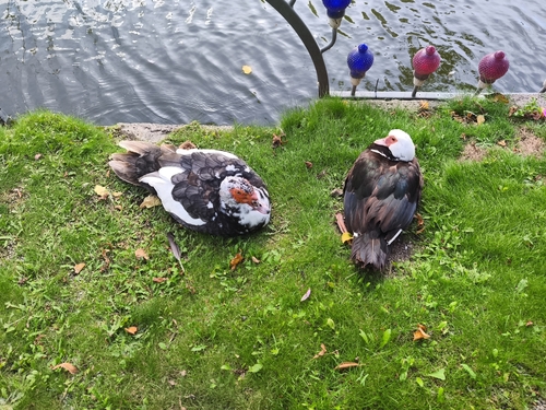
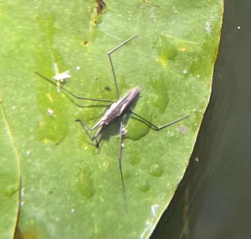
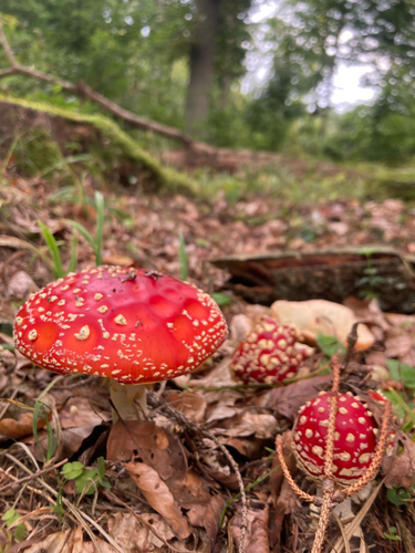
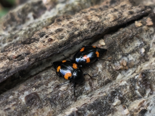
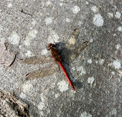
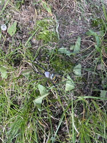
Research-grade observations from iNaturalist (within ~15 mi).
Events
Gallery
Sources
- • Wikipedia
- • Open-Meteo Air Quality (CAMS)
- • USGS Earthquake Catalog (global feed)
- • GBIF (Global Biodiversity Information Facility)
- • iNaturalist
- • Open-Meteo / sunrise-sunset.org
- • Wikipedia Pageviews API