Browse / Denmark / Capital Region / Skovshoved
Skovshoved
Capital Regionvillage

Skovshoved
Demographic figures from Statistics Denmark. Overview below cites Wikipedia and may reference a different year.
City facts
Overview
Skovshoved is a former fishing village on the Øresund coast north of Copenhagen, Denmark. The area is part of Charlottenlund postal district and Gentofte Municipality. Local landmarks include Skovshoved Church, Skovshoved Hotel and the listed Arne Jacobsen-designed Skovshoved Petrol Station from 1938.
Read more on WikipediaHistory & geography
History
The first known reference to Skovshoved (Scogshouet) is from 1275. It was originally a small fishing village with just a few houses. An inn, Skovshoved Kro, opened in the village in 1660. In 1620 it obtained status of royal privileged inn, enabling it to brew its own beer. Skovshoved was known for its fish wives, Skovserkoner, who would carry the day's catch in caskets on their back to the fish market at Gammel Strand in Copenhagen. The first harbor was built in 1869. In the middle of the 19th century, Skovshoved, like the other fishing villages along the Øresund coast, began to attract summer visitors from Copenhagen. Some visitors stayed at the inn while others rented rooms with the local fishermen. With the opening of the Klampenborg Railway in 1863 and the Coast Line the area became more accessible. The more wealthy summer visitors began to build country houses. Skovshoved Inn was converted into a modern beach hotel by the architects Viggo Klein and Andreas Thejll in 1895. Skovshoved Parish was disjoined from that of Ordrup in 1915. With the construction of the new Coastal Road in 1936-38, Skovshoved gradually developed into a suburb of Copenhagen. A new and larger harbor was built in 1938.
Excerpted from the corresponding Wikipedia article (CC BY-SA).
Geography
Coordinates & boundaries from the US Census TIGER/Line shapefiles.
Climate
Air quality
Walkability
Amenities nearby
Wildlife & biodiversity
Earthquake history
Photos
Sights & places nearby
Notable people from here
Nearby places in Capital Region
- Klampenborg1 mi away
- Taarbæk1.9 mi away
- Jægersborg2 mi away
- Kongens Lyngby3.6 mi away · pop. 53,501
- Skodsborg4.4 mi away · pop. 1,169
- Nærum4.6 mi away
- Copenhagen5.1 mi away · pop. 613,288
- Gammel Holte6 mi away
- Frederiksberg6.1 mi away
- Trørød6.2 mi away · pop. 8,576
- Vedbæk6.6 mi away
- Herlev6.6 mi away · pop. 26,890
Geography & sun
Elevation, sunrise/sunset and daylight from Open-Meteo. Solar climatology from NASA POWER.
Nearby airports
Public attention
Pageview totals from the Wikimedia Pageviews API.
Books about this place
Recent natural events nearby
Ground air-quality sensors
Recently spotted species
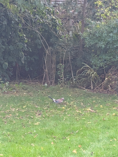
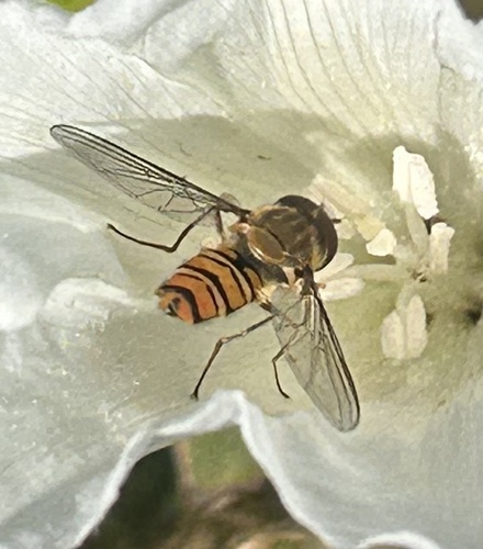
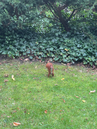
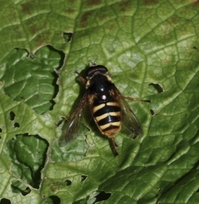
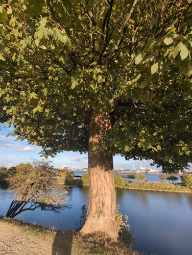

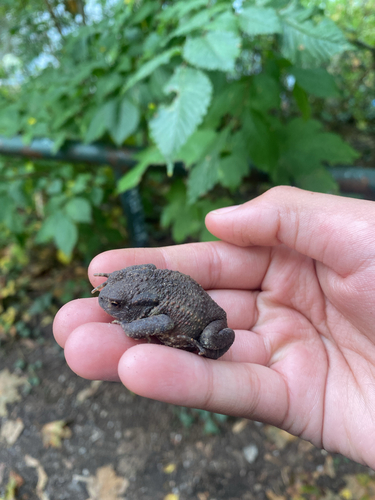
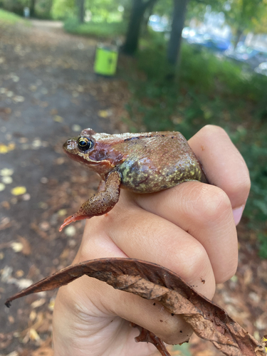
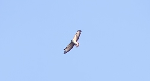
Research-grade observations from iNaturalist (within ~15 mi).
Events
Gallery
Sources
- • Wikipedia
- • iNaturalist
- • Open-Meteo / sunrise-sunset.org
- • Wikipedia Pageviews API