Browse / Denmark / Capital Region / Frederiksberg
Frederiksberg
Capital Regiontown

Frederiksberg
Demographic figures from Statistics Denmark. Overview below cites Wikipedia and may reference a different year.
City facts
Sister cities
Facts from Wikidata (CC0).
Overview
Frederiksberg is a part of the Capital Region of Denmark. It is an independent municipality, Frederiksberg Municipality, separate from Copenhagen Municipality, but both are a part of the region of Copenhagen. It occupies an area of less than 9 km2 and had a population of 103,192 in 2015. It is the most densely populated municipality in Denmark.
Read more on WikipediaHistory & geography
History
Frederiksberg's original name was , a combination of the Danish words (thyle) and (high), indicating that a thyle lived there, the reciter of eldritch times. The term is known from the Snoldelev rune stone. In Beowulf, Unferth holds the same title. In Håvamål, Odin himself is referred to as "the old thul". Thula translates as "song", like in the Rigsthula poem from the Edda. By 1443 the name Tulehøj was spelled Tulleshøy. It was regarded as Copenhagen's border to the west. People have lived in the area since the Bronze Age. The history of Frederiksberg goes back to 2 June 1651 when King Frederik III gave 20 Danish-Dutch peasants the rights to settle at Allégade (from the words allé (tree-lined street or avenue) and gade (street)), and founded the town then named "Ny Amager" (New Amager) or "Ny Hollænderby" (New Dutchman-town) as part of a general policy of introducing modern, Dutch farming techniques into Denmark, a policy begun by King Christian IV. Farming was not very successful, and additionally, in 1697 most of the town burned down. This meant that the peasants were unable to pay taxes, and the land reverted to the crown, by now Frederik III's son Christian V. In 1700–1703, King Frederik IV built a palace on top of the hill known as Valby Bakke (bakke = hill). He named the palace Frederichs Berg, and the rebuilt town at the foot of the hill consequently changed its name to Frederiksberg. A number of the local houses were bought by wealthy citizens of Copenhagen who did not farm the land, but rather used the properties as country houses. The town changed slowly from a farming community to a merchant town, with craftsmen and merchants. During the summer, rooms were offered for rent, and restaurants served food to the people of Copenhagen who had left the…
Geography
Frederiksberg, which lies west of central Copenhagen, is completely surrounded by boroughs forming part of the city of Copenhagen – the result of an expansion of the Copenhagen Municipality's boundary in 1901, which nevertheless did not include Frederiksberg in the list of municipalities to be incorporated in the enlarged area. Frederiksberg is thus effectively a municipal island within the country's capital – a unique phenomenon in present-day Europe. Other than administratively, however, it is largely indistinguishable in character from the districts of Copenhagen city which surround it. Municipal taxes in Frederiksberg are also lower than those in Copenhagen proper, which attracts a more affluent population. Frederiksberg has several stations on the Copenhagen Metro system, and is home to the tallest residential structure in Denmark and the second tallest residential building in Scandinavia: the 102-metre high Domus Vista.
Excerpted from the corresponding Wikipedia article (CC BY-SA).
Geography
Coordinates & boundaries from the US Census TIGER/Line shapefiles.
Climate
Air quality
Walkability
Amenities nearby
Wildlife & biodiversity
Most-observed species
- Common Wood-PigeonColumba palumbus Linnaeus, 1758 · Aves56,277
- Eurasian BlackbirdTurdus merula Linnaeus, 1758 · Aves51,036
- MallardAnas platyrhynchos Linnaeus, 1758 · Aves48,882
- Graylag GooseAnser anser (Linnaeus, 1758) · Aves46,462
- Great TitParus major Linnaeus, 1758 · Aves45,105
- Eurasian MagpiePica pica (Linnaeus, 1758) · Aves44,752
- Hooded CrowCorvus cornix Linnaeus, 1758 · Aves43,970
- Gray/Purple HeronArdea cinerea Linnaeus, 1758 · Aves40,228
Citizen-science & research observations from the Global Biodiversity Information Facility (GBIF).
Earthquake history
Photos
Sights & places nearby
Notable people from here


People born within ~10 km, from Wikidata (CC0). Click any name for their Wikipedia article.
Nearby places in Capital Region
- Copenhagen1.6 mi away · pop. 613,288
- Sundbyerne3.7 mi away
- Tårnby4.5 mi away · pop. 41,206
- Hvissinge4.5 mi away
- Herlev4.9 mi away · pop. 26,890
- Kastrup5 mi away · pop. 43,010
- Glostrup5.4 mi away · pop. 21,805
- Jægersborg5.8 mi away
- Skovshoved6.1 mi away
- Kongens Lyngby6.6 mi away · pop. 53,501
- Klampenborg6.8 mi away
- Store Magleby6.8 mi away
Geography & sun
Elevation, sunrise/sunset and daylight from Open-Meteo. Solar climatology from NASA POWER.
Nearby airports
Public attention
Pageview totals from the Wikimedia Pageviews API.
Books about this place
Recent natural events nearby
Ground air-quality sensors
Recently spotted species
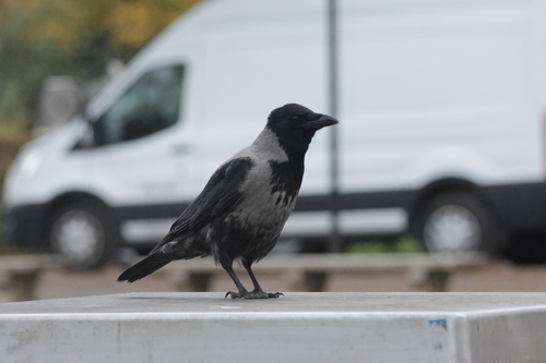
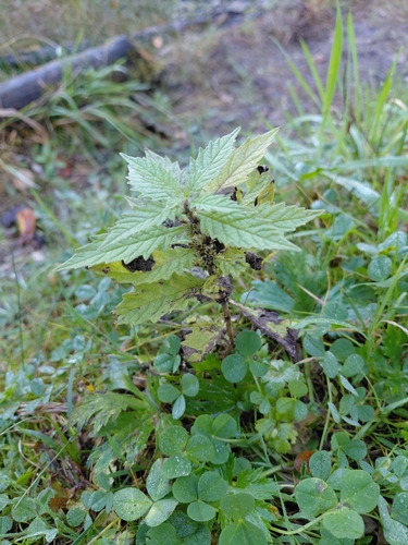
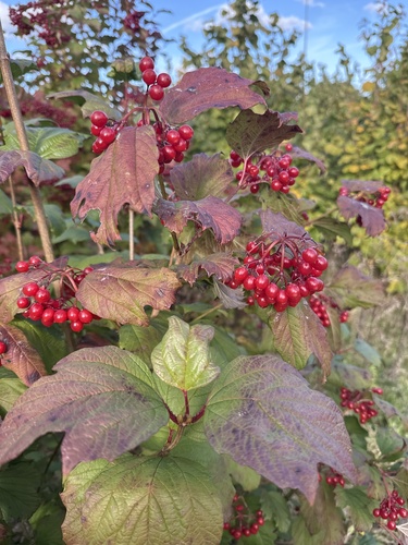
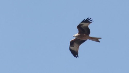
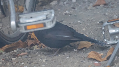
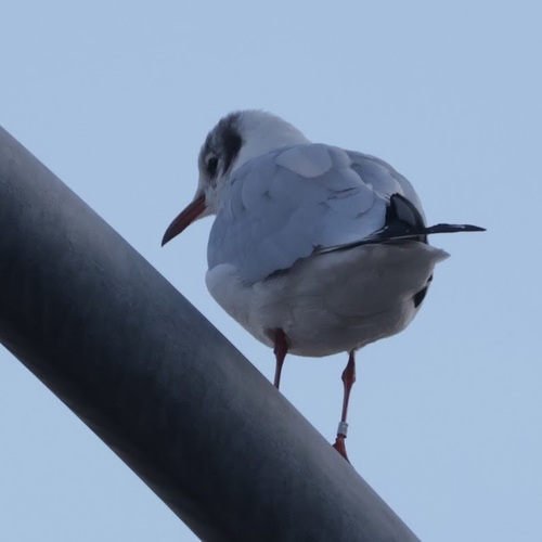
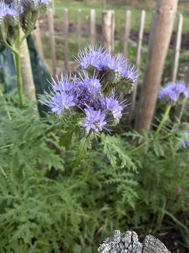
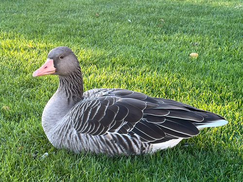
Research-grade observations from iNaturalist (within ~15 mi).
Events
Gallery
Official Identifiers
DST — Statistics Denmark
- Kommunekode
- 147
- Population (Wikidata)
- 104,987
- Wikidata
- Q2488464
Municipality code via Wikidata P1168
Sources
- • Wikipedia
- • Wikidata
- • GBIF (Global Biodiversity Information Facility)
- • iNaturalist
- • Open-Meteo / sunrise-sunset.org
- • Wikipedia Pageviews API
- • DST — Statistics Denmark — Municipality code via Wikidata P1168