Browse / Algeria / Mila / Ain Ameur
Ain Ameur
Milavillage
Air quality index
Demographic figures from Office National des Statistiques (Algeria). Overview below cites Wikipedia and may reference a different year.
City facts
Overview
Found in Mila, Algeria, Ain Ameur is classified as a village in public datasets. Detailed population figures are not currently catalogued in the open data sources we track. The settlement sits at 36.374°, 6.288°, a warm-temperate location in the northern hemisphere. Climate records indicate average highs near 68.6°F and lows near 49.2°F and about 22.4 in of annual precipitation (a relatively dry total). Solar-resource estimates put the area at about 1,743 kWh/m² of solar irradiance per year with sunshine for roughly 68% of daylight hours. Its latitude implies a climate characterised by warm summers and cool winters. Continue scrolling for population, climate, environmental and points-of-interest data drawn from public sources.
Summary composed automatically from structured open data on this page. See our Terms for details.
History & geography
Geography
Coordinates & boundaries from the US Census TIGER/Line shapefiles.
Climate
10-year averages from ERA5 reanalysis (Open-Meteo).
Air quality
Current readings from Open-Meteo Air Quality API (Copernicus CAMS European reanalysis).
Walkability
Amenities nearby
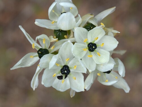
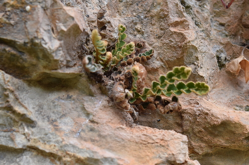
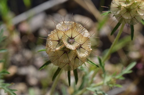
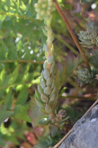
Wildlife & biodiversity
Most-observed species
- Ophrys fusca LinkOphrys fusca Link · Liliopsida103
- Sawfly OrchidOphrys tenthredinifera Willd. · Liliopsida69
- Ophrys speculum LinkOphrys speculum Link · Liliopsida66
- Garden SnailCornu aspersum (O.F.Müller, 1774) · Gastropoda53
- Ophrys lutea Cav.Ophrys lutea Cav. · Liliopsida49
- Eurasian KestrelFalco tinnunculus Linnaeus, 1758 · Aves39
- European Turtle-DoveStreptopelia turtur (Linnaeus, 1758) · Aves38
- Ophrys ×battandieri E.G.CamusOphrys ×battandieri E.G.Camus · Liliopsida38
Citizen-science & research observations from the Global Biodiversity Information Facility (GBIF).
Earthquake history
Most recent
- M 4.7 — 2026-06-0312 km NW of Draa Klalouche, Algeria
- M 4.2 — 2022-11-2027 km W of Guelma, Algeria
- M 4.2 — 2022-09-0719 km SSE of Azzaba, Algeria
- M 4.3 — 2021-12-2815 km SSW of Skikda, Algeria
- M 4.6 — 2021-07-1918 km SW of Jijel, Algeria
- M 4.8 — 2021-04-0121 km WSW of Guelma, Algeria
Events from the USGS Earthquake Catalog (global) (FDSN Event Web Service).
Photos
Sights & places nearby
Notable people from here


People born within ~10 km, from Wikidata (CC0). Click any name for their Wikipedia article.
Nearby places in Mila
Geography & sun
Elevation, sunrise/sunset and daylight from Open-Meteo. Solar climatology from NASA POWER.
Nearby airports
Public attention
Books about this place
Recent natural events nearby
Ground air-quality sensors
Recently spotted species
Research-grade observations from iNaturalist (within ~15 mi).
Events
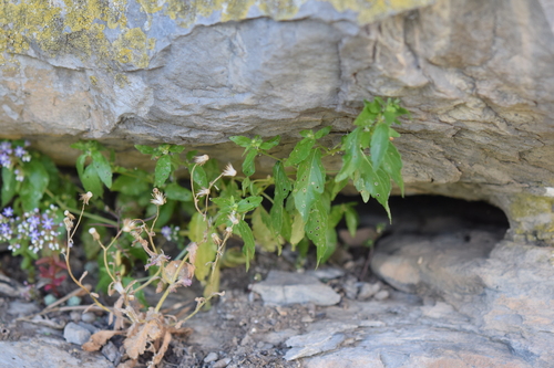
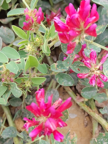
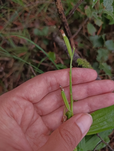
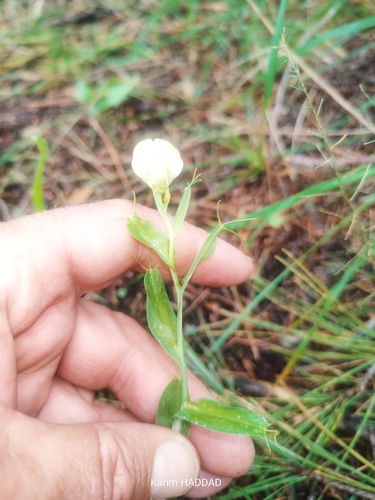
Gallery
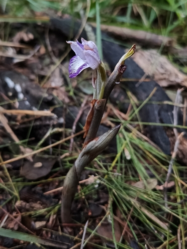
Geotagged photos within ~6 miles of Ain Ameur, from Wikimedia Commons contributors.
 1.9 mi
 1.9 mi
 2.3 mi
 4.1 mi
 4.2 mi
 5.2 mi
 5.2 mi
 5.2 mi
 5.2 mi
 5.2 mi
 5.2 mi
 5.2 mi
 5.2 mi
 5.2 mi
 5.2 mi
 5.4 mi
 5.4 mi
 5.5 mi
 5.6 mi
 5.6 mi
 5.6 mi
 5.6 mi
 5.9 mi
 6 mi
6 miPhotos via Wikimedia Commons — see each image page for license & attribution.
Sources
- • Open-Meteo (ERA5 reanalysis)
- • Wikimedia Commons
- • Wikidata
- • Open-Meteo Air Quality (CAMS)
- • USGS Earthquake Catalog (global feed)
- • GBIF (Global Biodiversity Information Facility)
- • iNaturalist
- • Open-Elevation
- • Open-Meteo / sunrise-sunset.org