Browse / Algeria / Laghouat / Ain Madhi
Ain Madhi
Laghouatvillage

Featured view
Ain Madhi
Elevation985 m
Coordinates33.80°, 2.31°
Demographic figures from Office National des Statistiques (Algeria). Overview below cites Wikipedia and may reference a different year.
Loading additional data from public sources…0 / 11
CensusWikipediaWeatherPlacesPeopleEnvironmentHealth & SchoolsRelatedGeography & CultureLive MonitoringEvents & Gallery
0% completeCity facts
Elevation
985 m
Facts from Wikidata (CC0).
Overview
Aïn Madhi is a town and commune in Laghouat Province, Algeria, and the seat of Aïn Madhi District. According to the 1998 census it has a population of 6,263.
Read more on WikipediaHistory & geography
Geography
Latitude
33.7971
Longitude
2.3059
Water area
—
Coordinates & boundaries from the US Census TIGER/Line shapefiles.
Climate
Air quality
Walkability
Amenities nearby
Wildlife & biodiversity
Earthquake history
Photos
Sights & places nearby
Notable people from here
People born within ~10 km, from Wikidata (CC0). Click any name for their Wikipedia article.
Nearby places in Laghouat
- Tadjrouna23.2 mi away
- Lalmaya30.9 mi away
- Laghouat33 mi away · pop. 144,747
- Bordj Senoussi34.4 mi away
- Ksar El Hirane47.9 mi away
- Hassi Delaa76.4 mi away · pop. 11,204
- Hassi R'Mel81.1 mi away · pop. 22,133
- Crni Potok1068.2 mi away · pop. 153
- Malička1070.4 mi away · pop. 43
- Staro Selo Topusko1071.2 mi away · pop. 154
- Slavsko Polje1071.5 mi away · pop. 338
- Crevarska Strana1072 mi away · pop. 161
Geography & sun
Avg solar (kWh/m²/day)
5.65
Annual solar (kWh/m²)
2,064
Elevation, sunrise/sunset and daylight from Open-Meteo. Solar climatology from NASA POWER.
Nearby airports
Public attention
Wikipedia views (last 30 days)
125
Avg daily Wikipedia views
4
Attention level
Obscure
Pageview totals from the Wikimedia Pageviews API.
Books about this place
Recent natural events nearby
Ground air-quality sensors
Recently spotted species
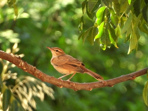
Rufous-tailed Scrub-Robin
Cercotrichas galactotes
Seen 2025-07-27
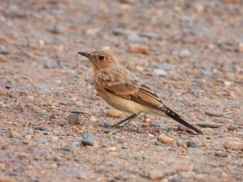
Desert Wheatear
Oenanthe deserti
Seen 2025-07-27
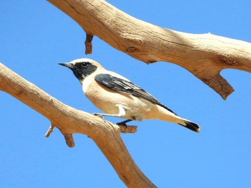
Western Black-eared Wheatear
Oenanthe hispanica
Seen 2025-07-27
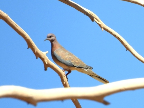
Laughing Dove
Spilopelia senegalensis
Seen 2025-07-27
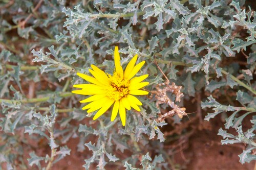
Anvillea garcinii radiata
Anvillea garcinii radiata
Seen 2024-09-27
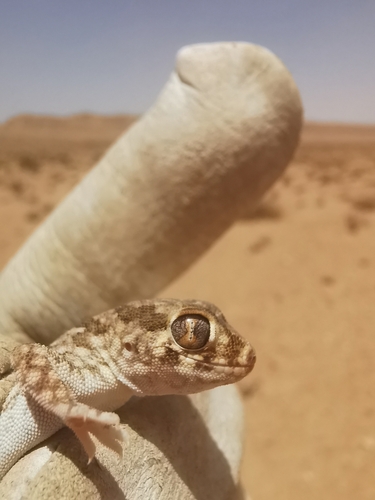
Northern Elegant Gecko
Stenodactylus mauritanicus
Seen 2024-05-22
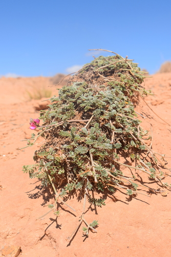
Astragalus algerianus
Astragalus algerianus
Seen 2023-05-25
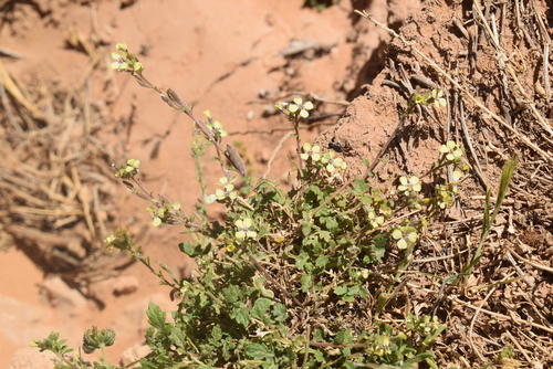
Enarthrocarpus clavatus
Enarthrocarpus clavatus
Seen 2023-05-25
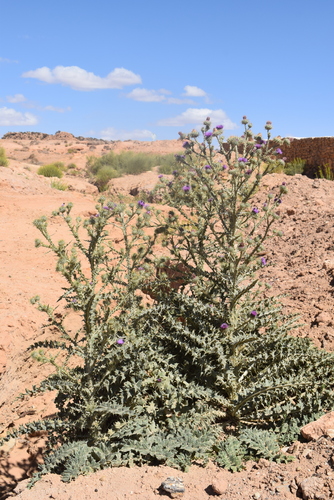
Onopordum arenarium
Onopordum arenarium
Seen 2023-05-25
Research-grade observations from iNaturalist (within ~15 mi).
Events
Gallery
Sources
- • Wikipedia
- • Wikidata
- • iNaturalist
- • Open-Meteo / sunrise-sunset.org
- • Wikipedia Pageviews API