Browse / Algeria / Algiers / Algiers
Algiers
Algierscity

Algiers
Total population
3,415,811
Air quality index
Demographic figures from Office National des Statistiques (Algeria). Overview below cites Wikipedia and may reference a different year.
City facts
Sister cities
Facts from Wikidata (CC0).
Overview
Algiers, officially Capital City of Algiers, is the capital and largest city of Algeria, located on the Mediterranean Sea in the north-central portion of the country. In 2025, an estimated 4.325 million people resided within the urban area. Algiers is the third-largest city on the Mediterranean, the tenth-largest city in the Arab world, and the 19th-largest city in Africa by population. Algiers is the capital of the Algiers Province; it extends over many communes without having its own separate governing body. It extends along the Bay of Algiers surrounded by the Mitidja Plain and major mountain ranges. Its favorable location made it the center of Ottoman and French influences for the region, shaping it to be a diverse metropolis.
Read more on WikipediaHistory & geography
History
The city's history is believed to date back to 1200 BC, but it was a small settlement without any significance until around the 3rd century BC when "Ikosim" became a small port town in Carthage where Phoenicians were trading with other Mediterranean ports. After the Battle of Cirta, Numidia got a hold of the town along with its neighboring regions at around 202 BC, after which the Punic Wars started weakening the Berber nation. On 104 BC, following the capturing of Jughurta and executing him in Rome, the western half of his nation was given to Mauretania under the rule of Bocchus I. At around 42 AD, Claudius divided Mauretania into two provinces, Mauretania Caesariensis that included Icosium as one of its towns; the second province was Mauretania Tingitana and were deemed as Roman Municipiums, additionally they were given Latin rights by the emperor Vespasian. In 371-373 AD, Mauretania revolted with the help of Firmus, in hopes of establishing an independent state. Icosium was raided and damaged. Some clues show the presence of bishops in the region at this time. In 435 AD, the Vandal Kingdom took control of northern Africa along the coasts of today's Tunisia and Algeria. The Western Roman Empire that was ruling the area allowed the Vandals to settle when it became clear that they could not be defeated by Roman military forces. Though the city was damaged again due to the fighting between the two armies, the town was still slowly growing in population. In 534 AD, the Vandal kingdom was subjugated by the general Belisarius of the Eastern Roman Empire, making Icosium a part of the empire. In the early 7th century, "Beni Mezghenna" who are a Berber tribe belonging to the Sanhaja as cited by Ibn Khaldoun, settled on the plains of Icosium and the surrounding areas.…
Geography
Algiers is located in the north-central part of Algeria. Relative to the Bay of Algiers, the historical center was founded and extended on the "Algiers Sahel", coastal hills of the east, though the city grew exponentially on top of the hills eventually extending as far as towns such as Aïn Bénian in the east, and Bordj El Bahri in the west, and towards the Mitidja Plain in its northern, central, and western parts. Algiers is crossed by several rivers and waterways that are indifferently called Oued. All the rivers that cross it flow into the Mediterranean making it specific to its environment. The Bouzaréah massif, known for its rugged relief, has a very dense hydrographic network, drained by eight main waterways (Baranès, Sidi Medjber, Frais vallon, jaubert, Scotto Nadal, Chemin du Fort, Birtraria and Oued Koriche or Oued Atoun). Half of its waterways have been artificialized and channeled by buried collectors. To the west, one finds the Mazafran and Beni Messous Wadis. To the east, the El Harrach (the main Oued dividing the city into an eastern urban and historical side, and a western suburban side), El Hamiz and Réghaïa Wadis. Considerable land reclamation along the waterfront allowed for developments such as "Marina Mall" in 2012, "Sablettes Promenade" in 2016, El kettani waterfront in 2025 and ongoing projects like the Algiers Medina, New bay of Algiers, Wadis new arrangements. The city's downtown sits at an elevation of 2 m (at the Algiers Central Post Office), while it averages 45 m across the city's metropolitan area, and tops at 407 m on the Bouzaréah peak. Algiers Province, the administrative area that includes the city's urban and suburban centers covers 1,190 km2 (460 sq mi). Algiers has a Mediterranean climate (Köppen climate classification Csa). Its…
Excerpted from the corresponding Wikipedia article (CC BY-SA).
Geography
Coordinates & boundaries from the US Census TIGER/Line shapefiles.
Climate
Air quality
Current readings from Open-Meteo Air Quality API (Copernicus CAMS European reanalysis).
Walkability
Amenities nearby
Wildlife & biodiversity
Most-observed species
- Yellow-legged GullLarus michahellis J.F.Naumann, 1840 · Aves201
- Rock PigeonColumba livia J.F.Gmelin, 1789 · Aves124
- Common Wood-PigeonColumba palumbus Linnaeus, 1758 · Aves96
- Eurasian BlackbirdTurdus merula Linnaeus, 1758 · Aves95
- Black-headed GullChroicocephalus ridibundus (Linnaeus, 1766) · Aves85
- Great Cormorant/European ShagPhalacrocorax carbo (Linnaeus, 1758) · Aves83
- Common BulbulPycnonotus barbatus (Desfontaines, 1789) · Aves83
- Mediterranean GullIchthyaetus melanocephalus (Temminck, 1820) · Aves80
Citizen-science & research observations from the Global Biodiversity Information Facility (GBIF).
Earthquake history
Photos
Sights & places nearby
Notable people from here


People born within ~10 km, from Wikidata (CC0). Click any name for their Wikipedia article.
Nearby places in Algiers
- Chaibia11 mi away
- Rouiba12.6 mi away · pop. 61,984
- Ouled Chebel12.6 mi away
- Sbaat13.3 mi away
- Djaafri16.3 mi away
- Soajo699.4 mi away · pop. 385
- Castro Laboreiro699.6 mi away · pop. 96
- Britelo699.8 mi away · pop. 485
- Entre Ambos-os-Rios699.9 mi away · pop. 502
- Ermelo700.1 mi away · pop. 92
- Vila Chã (Santiago)700.3 mi away · pop. 139
- Vila Chã (São João Baptista)700.3 mi away · pop. 484
Geography & sun
Elevation, sunrise/sunset and daylight from Open-Meteo. Solar climatology from NASA POWER.
Nearby airports
Public attention
Pageview totals from the Wikimedia Pageviews API.
Books about Algiers



Search results from Open Library.
Recent natural events nearby
Ground air-quality sensors
Recently spotted species
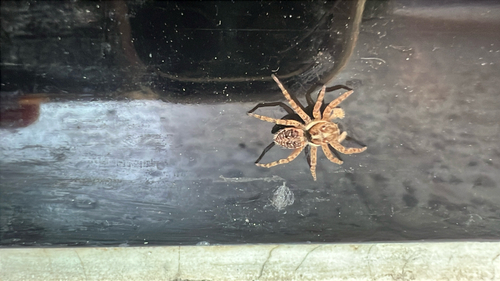
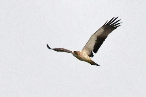
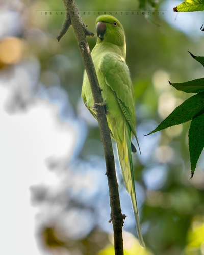
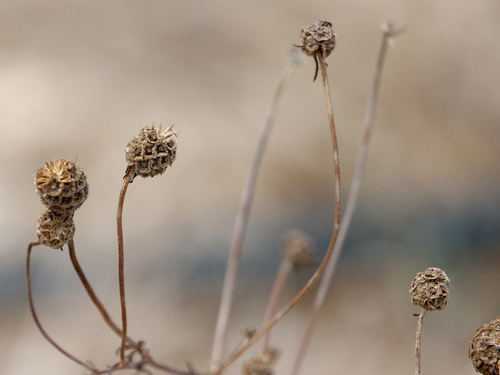
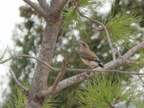
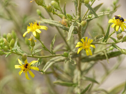
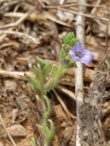
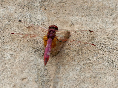
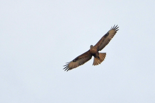
Research-grade observations from iNaturalist (within ~15 mi).
Events
Notable, recurring, and historical events associated with Algiers, sourced from Wikidata.
Source: Wikidata (CC0).
Gallery
Geotagged photos within ~6 miles of Algiers, from Wikimedia Commons contributors.


.jpg)
_-_Panoramio.jpg)
.jpg)
.jpg)
.jpg)
.jpg)
.jpg)
.jpg)
.jpg)
.jpg)
.jpg)
.jpg)
.jpg)
.jpg)
.jpg)
.jpg)
.jpg)

.jpg)


Photos via Wikimedia Commons — see each image page for license & attribution.
Sources
- • Wikipedia
- • Wikimedia Commons
- • Wikidata
- • Open-Meteo Air Quality (CAMS)
- • GBIF (Global Biodiversity Information Facility)
- • iNaturalist
- • Open-Meteo / sunrise-sunset.org
- • Wikipedia Pageviews API
- • Open Library