Browse / Algeria / Mostaganem / Fornaka
Fornaka
Mostaganemtown

Fornaka
Total population
16,543
Demographic figures from Office National des Statistiques (Algeria). Overview below cites Wikipedia and may reference a different year.
City facts
Overview
Fornaka is a location in Algeria. Fornaka is located 27 km (17miles) from Mostaganem, the wilaya (province) capital, and 60 km (37 mi) from Oran, the country's second largest city. The city is located slightly west on the Greenwich meridian. As of 1998, the commune had a total population of 14,371.
Read more on WikipediaHistory & geography
History
In 1870, Fornaka became the settlement for the German-speaking refugees from Alsace and Lorraine. They were not the first who tried to start a new life in this fertile land. At the end of the 15th century, the Christian Spain expelled millions of its non-Christian citizens. Hundreds of the Moors came to Stidia and Fornaka and implemented a new life at the image of their former life in the lost for ever Andalus. During the two last decades, Fornaka is facing the problem of the immigration of the youth to Spain, France, Germany and North America.
Excerpted from the corresponding Wikipedia article (CC BY-SA).
Geography
Coordinates & boundaries from the US Census TIGER/Line shapefiles.
Climate
Air quality
Walkability
Amenities nearby
Wildlife & biodiversity
Earthquake history
Most recent
- M 4.6 — 2024-02-1423 km N of Mascara, Algeria
- M 4.4 — 2022-07-1660 km NNW of Mostaganem, Algeria
- M 4.6 — 2022-06-2614 km NW of Aïn el Bya, Algeria
- M 4.7 — 2018-04-2310 km NNW of Mostaganem, Algeria
- M 4.2 — 2015-03-1732 km ENE of Mostaganem, Algeria
- M 4.1 — 2014-08-2224 km SSE of Mostaganem, Algeria
Events from the USGS Earthquake Catalog (global) (FDSN Event Web Service).
Photos
Sights & places nearby
Notable people from here
People born within ~10 km, from Wikidata (CC0). Click any name for their Wikipedia article.
Nearby places in Mostaganem
- Ain Nouissy5 mi away · pop. 14,530
- Stidia5.6 mi away · pop. 11,965
- Oureah8.5 mi away
- Hassi Mameche9.1 mi away · pop. 32,903
- Ain Sidi Cherif9.7 mi away
- Mazagran11.2 mi away · pop. 22,016
- Sirat11.7 mi away
- Mostaganem13.6 mi away · pop. 145,696
- Nedjadjra15.2 mi away
- Sayada16 mi away
- Douar Ouled Tahar16.5 mi away
- Douar Mekhatria18.8 mi away
Geography & sun
Elevation, sunrise/sunset and daylight from Open-Meteo. Solar climatology from NASA POWER.
Nearby airports
Public attention
Pageview totals from the Wikimedia Pageviews API.
Books about this place
Recent natural events nearby
Ground air-quality sensors
Recently spotted species
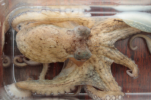
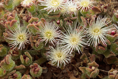
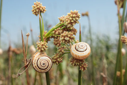

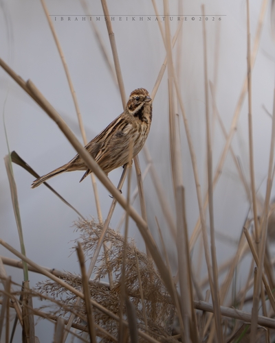

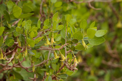

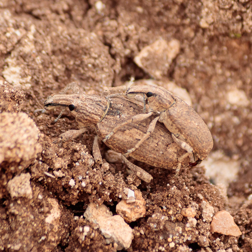
Research-grade observations from iNaturalist (within ~15 mi).
Events
Gallery
Sources
- • Wikipedia
- • Wikidata
- • USGS Earthquake Catalog (global feed)
- • iNaturalist
- • Open-Meteo / sunrise-sunset.org
- • Wikipedia Pageviews API