Browse / Algeria / Béchar / Hamaguir
Hamaguir
Bécharvillage
No image yet
Elevation744 m
Coordinates30.90°, -3.03°
Demographic figures from Office National des Statistiques (Algeria). Overview below cites Wikipedia and may reference a different year.
Loading additional data from public sources…0 / 11
CensusWikipediaWeatherPlacesPeopleEnvironmentHealth & SchoolsRelatedGeography & CultureLive MonitoringEvents & Gallery
0% completeCity facts
Elevation
744 m
Facts from Wikidata (CC0).
Overview
Hammaguir is a village in Abadla District, Béchar Province, Algeria, south-west of Béchar. It lies on the N50 national highway between Béchar and Tindouf. The location is notable for its role in French rocketry.
Read more on WikipediaHistory & geography
Geography
Latitude
30.8955
Longitude
-3.0339
Water area
—
Coordinates & boundaries from the US Census TIGER/Line shapefiles.
Climate
Air quality
Walkability
Amenities nearby
Wildlife & biodiversity
Earthquake history
Photos
Sights & places nearby
Notable people from here
Nearby places in Béchar
- Erg Ferradj17.4 mi away · pop. 4,554
- Mechraa Houari Boumediene17.7 mi away · pop. 3,088
- El Djorf El Barda19.8 mi away
- Ksar Tanamouste59.4 mi away
- Hassilabied61.1 mi away
- Ouzina66.7 mi away
- Bechar69.3 mi away · pop. 165,627
- Haroun73.2 mi away
- Tighedouine74.2 mi away
- Oulad Abderrahmane74.3 mi away
- Ksar Ammar74.6 mi away
- Ksar Jdid El Ghorfa74.6 mi away
Geography & sun
Avg solar (kWh/m²/day)
6.06
Annual solar (kWh/m²)
2,210
Elevation, sunrise/sunset and daylight from Open-Meteo. Solar climatology from NASA POWER.
Nearby airports
Public attention
Wikipedia views (last 30 days)
244
Avg daily Wikipedia views
8
Attention level
Obscure
Pageview totals from the Wikimedia Pageviews API.
Books about this place
Recent natural events nearby
Ground air-quality sensors
Recently spotted species
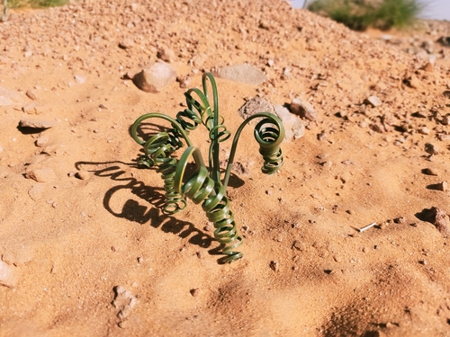
Drimia noctiflora
Drimia noctiflora
Seen 2024-11-30
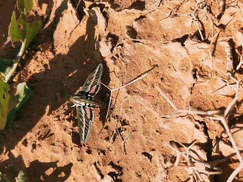
Striped Hawkmoth
Hyles livornica
Seen 2024-11-30
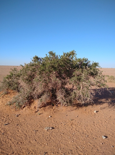
Searsia tripartita
Searsia tripartita
Seen 2022-03-03
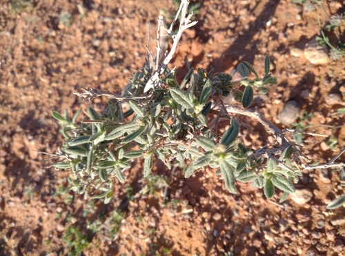
Helianthemum lippii
Helianthemum lippii
Seen 2022-03-03
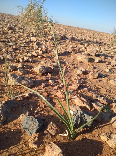
Brown Bells
Dipcadi serotinum
Seen 2022-03-03
Research-grade observations from iNaturalist (within ~15 mi).
Events
Gallery
Sources
- • Wikipedia
- • Wikidata
- • iNaturalist
- • Open-Meteo / sunrise-sunset.org
- • Wikipedia Pageviews API