Browse / Algeria / Ouargla / Ouargla
Ouargla
Ouarglacity
Total population
133,024
Demographic figures from Office National des Statistiques (Algeria). Overview below cites Wikipedia and may reference a different year.
City facts
Overview
Within Ouargla, Algeria, Ouargla stands as a sizeable town. Census-style estimates put the resident count near 133,024. On the world map it falls within the Eastern Hemisphere, specifically at 31.945°, 5.322°. The location receives about 2,148 kWh/m² of solar irradiance per year and sunshine for roughly 84% of daylight hours. The latitude suggests warm summers and cool winters. The sections below expand on demographics, weather, terrain, hazards and nearby points of interest using publicly available datasets.
Summary composed automatically from structured open data on this page. See our Terms for details.
History & geography
Geography
Coordinates & boundaries from the US Census TIGER/Line shapefiles.
Climate
Air quality
Walkability
Amenities nearby
Wildlife & biodiversity
Most-observed species
- Ruddy ShelduckTadorna ferruginea (Pallas, 1764) · Aves14
- Greater FlamingoPhoenicopterus roseus Pallas, 1811 · Aves14
- Black-winged StiltHimantopus himantopus (Linnaeus, 1758) · Aves14
- Common ShelduckTadorna tadorna (Linnaeus, 1758) · Aves9
- Marbled TealMarmaronetta angustirostris (Ménétries, 1832) · Aves7
- Northern ShovelerSpatula clypeata (Linnaeus, 1758) · Aves7
- Western Yellow WagtailMotacilla flava Linnaeus, 1758 · Aves7
- MallardAnas platyrhynchos Linnaeus, 1758 · Aves7
Citizen-science & research observations from the Global Biodiversity Information Facility (GBIF).
Earthquake history
Events from the USGS Earthquake Catalog (global) (FDSN Event Web Service).
Photos
Sights & places nearby
Notable people from here


People born within ~10 km, from Wikidata (CC0). Click any name for their Wikipedia article.
Nearby places in Ouargla
- أولاد ناصر ⵡⵍⴰⴷ ⵏⴰⵚⴻⵔ1.4 mi away
- Cité Ouled Bouziane1.5 mi away
- Merghoub1.6 mi away
- Rouissat2.2 mi away · pop. 58,112
- El Hedeb3.1 mi away
- بامنديل ⴱⴰⵎⴻⵏⴷⵉⵍ3.6 mi away
- الجريفات ⵍⴻⵊⵔⵉⴼⴰⵜ3.8 mi away
- Ain Briss4.1 mi away
- Ain Beida4.1 mi away · pop. 19,039
- Ouled Zid4.2 mi away
- Cité El Khafdji4.6 mi away
- Bour El Haicha5.3 mi away
Geography & sun
Elevation, sunrise/sunset and daylight from Open-Meteo. Solar climatology from NASA POWER.
Nearby airports
Public attention
Books about Ouargla


Search results from Open Library.
Recent natural events nearby
Ground air-quality sensors
Recently spotted species
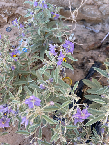
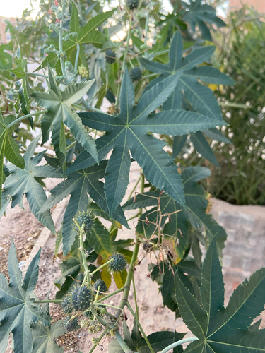
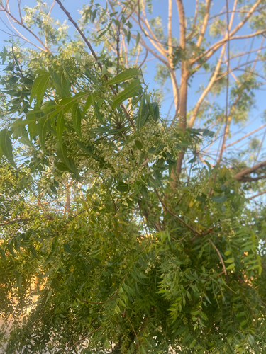
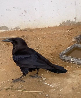
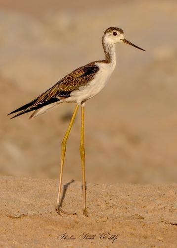
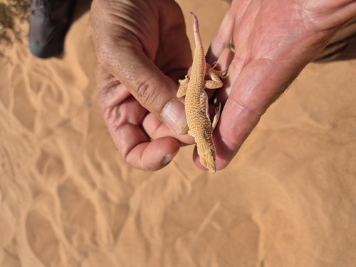
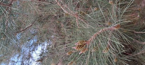
Research-grade observations from iNaturalist (within ~15 mi).
Events
Gallery
Sources
- • Wikidata
- • USGS Earthquake Catalog (global feed)
- • GBIF (Global Biodiversity Information Facility)
- • iNaturalist
- • Open-Meteo / sunrise-sunset.org
- • Open Library