Browse / Algeria / Ouargla / Rouissat
Rouissat
Ouarglatown

Rouissat
Total population
58,112
Air quality index
Demographic figures from Office National des Statistiques (Algeria). Overview below cites Wikipedia and may reference a different year.
City facts
Facts from Wikidata (CC0).
Overview
Rouissat is a town and commune in Ouargla District, Ouargla Province, Algeria. According to the 2008 census it has a population of 58,112, up from 37,814 in 1998, and a population growth rate of 4.5%. It is within the urban area of the provincial capital Ouargla, lying just to the south of the city center.
Read more on WikipediaHistory & geography
Geography
Coordinates & boundaries from the US Census TIGER/Line shapefiles.
Climate
Air quality
Current readings from Open-Meteo Air Quality API (Copernicus CAMS European reanalysis).
Walkability
Amenities nearby
Wildlife & biodiversity
Most-observed species
- Ruddy ShelduckTadorna ferruginea (Pallas, 1764) · Aves14
- Greater FlamingoPhoenicopterus roseus Pallas, 1811 · Aves14
- Black-winged StiltHimantopus himantopus (Linnaeus, 1758) · Aves14
- Common ShelduckTadorna tadorna (Linnaeus, 1758) · Aves9
- Marbled TealMarmaronetta angustirostris (Ménétries, 1832) · Aves7
- Northern ShovelerSpatula clypeata (Linnaeus, 1758) · Aves7
- Western Yellow WagtailMotacilla flava Linnaeus, 1758 · Aves7
- MallardAnas platyrhynchos Linnaeus, 1758 · Aves7
Citizen-science & research observations from the Global Biodiversity Information Facility (GBIF).
Earthquake history
Photos
Sights & places nearby
Notable people from here


People born within ~10 km, from Wikidata (CC0). Click any name for their Wikipedia article.
Nearby places in Ouargla
- Cité Ouled Bouziane0.7 mi away
- El Hedeb1.5 mi away
- Ouargla2.2 mi away · pop. 133,024
- Ouled Zid2.5 mi away
- Ain Beida2.7 mi away · pop. 19,039
- أولاد ناصر ⵡⵍⴰⴷ ⵏⴰⵚⴻⵔ3.6 mi away
- Cité El Khafdji3.7 mi away
- Merghoub3.7 mi away
- Ain Briss3.8 mi away
- Sidi Khouiled5.5 mi away · pop. 8,803
- بامنديل ⴱⴰⵎⴻⵏⴷⵉⵍ5.7 mi away
- الجريفات ⵍⴻⵊⵔⵉⴼⴰⵜ5.9 mi away
Geography & sun
Elevation, sunrise/sunset and daylight from Open-Meteo. Solar climatology from NASA POWER.
Nearby airports
Public attention
Pageview totals from the Wikimedia Pageviews API.
Books about this place
Recent natural events nearby
Ground air-quality sensors
Recently spotted species
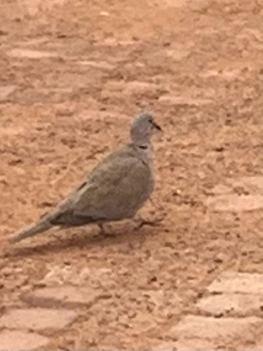
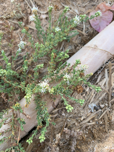
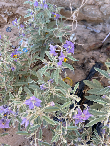
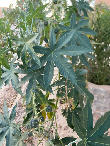
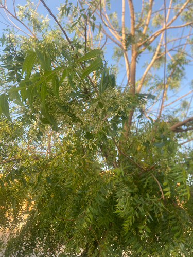
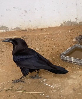
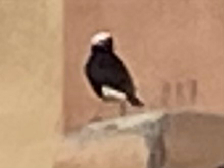
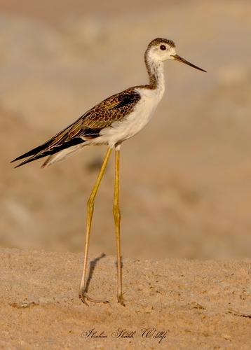
Research-grade observations from iNaturalist (within ~15 mi).
Events
Gallery
Sources
- • Wikipedia
- • Wikidata
- • Open-Meteo Air Quality (CAMS)
- • GBIF (Global Biodiversity Information Facility)
- • iNaturalist
- • Open-Meteo / sunrise-sunset.org
- • Wikipedia Pageviews API