Browse / Algeria / Tizi Ouzou / Tadmait
Tadmait
Tizi Ouzoutown

Tadmait
Total population
22,838
Demographic figures from Office National des Statistiques (Algeria). Overview below cites Wikipedia and may reference a different year.
City facts
Overview
Tadmaït is a town and commune in Tizi Ouzou Province in northern Algeria, located 18 kilometers west of Tizi Ouzou and 85 kilometers east of Algiers.
Read more on WikipediaHistory & geography
History
Camp-du-Maréchal was a colonial village created in lower Kabylia, became Tadmaït in 1963, just after the independence of Algeria On 14 June 1830, French troops land at Sidi-Ferruch, and enter Algiers on 5 July. About ten years later, Marshal Bugeaud decided to conquer Kabylia. He occupies Bordj Menaiel, 66 kilometers east of Algiers. Then he heads north and occupied Dellys, a coastal town founded during the Turkish presence. When returning from Dellys, going up the Sebaou, he enter the plain of Tadmaït that he occupies. The indigenous population takes refuge at Mount Sidi Ali Bounab and is divided into Thouddar (hamlets). The marshal established a large camp in preparation for the occupation of the rest of Kabylia. West of the camp (about 6 kilometers), a center is founded by the Society for the protection of Alsatians-Lorrainers remained French (founded in 1871) presided by Count Joseph d'Haussonville. Since 1873, 33 families have settled. At the site of the camp is founded in 1879 a village which will bear the name of the marshal (Marshal Randon). Taking advantage of the experience, it is, of all the Alsatian villages, the most successful. It's immediately equipped with all the basic infrastructure: town hall, post office, school, church built by native workers. The village is designed only for the needs of settlers and the colonial administration. The fertile lands watered by the Sebaou, are exploited in the same way as the workers who work from sunrise to sunset. That's why the settlers ask to be grouped near the village so that they are more efficient. This is how Tadmaït was born, a group of makeshift dwelling 100 metres high in the village. Other infrastructures are set up such as the college and the dispensary managed by Les soeurs Blanches, railways…
Geography
The commune of Tadmaït is located in the west of Tizi Ouzou. It's bordered: * On the north by Baghlia (Boumerdès Province) * On northern east by Sidi Nâamane * On east by Draâ Ben Khedda * On southern east by Tirmitine * On south by Aït Yahia Moussa * On west by Naciria (Boumerdès Province) The commune of Tadmait is made up of 21 localities
Excerpted from the corresponding Wikipedia article (CC BY-SA).
Geography
Coordinates & boundaries from the US Census TIGER/Line shapefiles.
Climate
10-year averages from ERA5 reanalysis (Open-Meteo).
Air quality
Walkability
Amenities nearby
Wildlife & biodiversity
Earthquake history
Photos
Sights & places nearby
Notable people from here
Nearby places in Tizi Ouzou
- Nezla18 mi away
- Aghrib23.7 mi away · pop. 12,474
- Yatafene23.7 mi away · pop. 4,016
- Boudafal25 mi away
- Ahfir29.5 mi away
- Azeffoun30.5 mi away · pop. 16,847
- Torrão672.4 mi away · pop. 1,494
- Alvalade679.8 mi away · pop. 1,605
- Azinheira dos Barros681.8 mi away · pop. 182
- Santa Susana682.6 mi away · pop. 131
- São Domingos687.8 mi away · pop. 353
- Alcácer do Sal688.6 mi away · pop. 5,347
Geography & sun
Elevation, sunrise/sunset and daylight from Open-Meteo. Solar climatology from NASA POWER.
Nearby airports
Public attention
Pageview totals from the Wikimedia Pageviews API.
Books about this place
Recent natural events nearby
Ground air-quality sensors
Recently spotted species
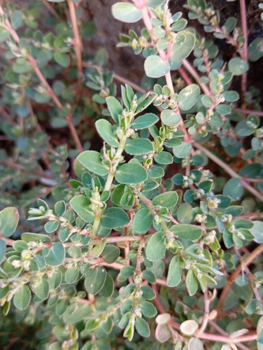
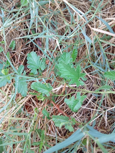
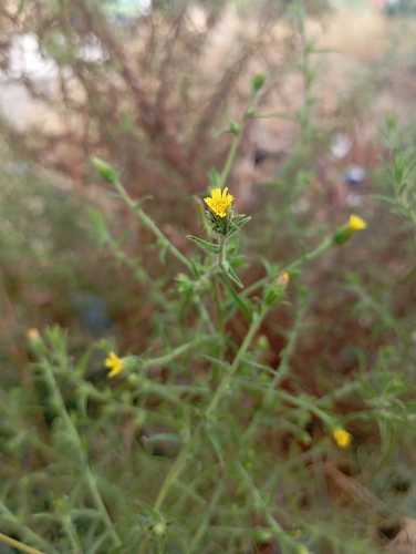
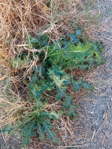
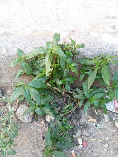
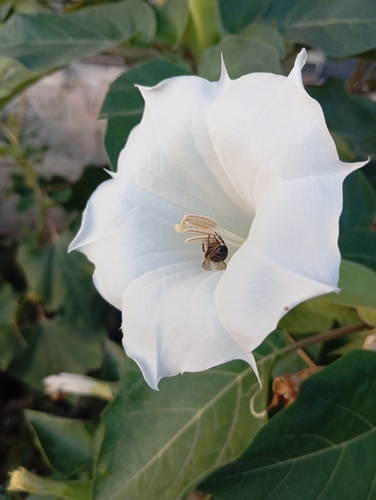
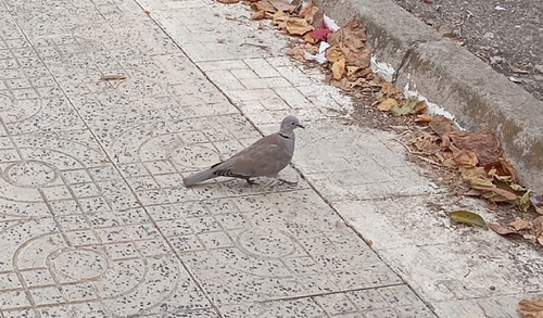
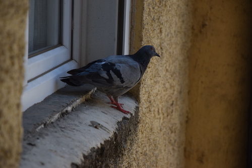
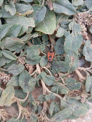
Research-grade observations from iNaturalist (within ~15 mi).
Events
Gallery
Sources
- • Wikipedia
- • Open-Meteo (ERA5 reanalysis)
- • iNaturalist
- • Open-Meteo / sunrise-sunset.org
- • Wikipedia Pageviews API