Browse / Algeria / Tizi Ouzou / Tizi Ouzou
Tizi Ouzou
Tizi Ouzoucity

Tizi Ouzou
Total population
135,088
Demographic figures from Office National des Statistiques (Algeria). Overview below cites Wikipedia and may reference a different year.
City facts
Sister cities
Facts from Wikidata (CC0).
Overview
Tizi Ouzou or Tizi Wezzu is a city in north central Algeria, and capital of Tizi Ouzou Province and Tizi Ouzou District. It is among the largest cities in Algeria. It is the second most populous city in the Kabylia region after Béjaïa.
Read more on WikipediaHistory & geography
History
===Foundation=== Tizi Ouzou was founded in 1856, after the successful expedition of France against Kabyle tribes. The name Tizi Ouzou is made up of two Kabyle words: Tizi meaning col, and Ouzou (from Azzu) meaning Genisteae. The full name of the locality therefore means "the col of the Genisteae". Islamists looted, and burned to the ground, a Pentecostal church on 9 January 2010. The pastor was quoted as saying that worshipers fled when local police left a gang of local rioters unchecked.
Geography
This city is located in the heart of Kabylie. It is in area. Tizi Ouzou is located in the valley of Assif N Sébaou. It is surrounded by mountains. The city is at an altitude of . It is bounded on the north by Mount Belloua which rises to above sea level. A portion of the old city of Tizi Ouzou (known as the High City) backed the east slopes of the mountain. At the top of the mountain Belloua lies the village of Redjaouna. The latter is attached to the town of Tizi Ouzou. Tizi Ouzou experiences a hot Mediterranean climate (Köppen climate classification Csa).
Excerpted from the corresponding Wikipedia article (CC BY-SA).
Geography
Coordinates & boundaries from the US Census TIGER/Line shapefiles.
Climate
Air quality
Walkability
Amenities nearby
Wildlife & biodiversity
Earthquake history
Most recent
- M 4.8 — 2025-03-1819 km SW of Lakhdaria, Algeria
- M 4.5 — 2024-10-1027 km NE of Arhribs, Algeria
- M 3.8 — 2023-06-196 km WSW of el hed, Algeria
- M 4 — 2022-12-07northern Algeria
- M 4.1 — 2022-11-2024 km WNW of Dellys, Algeria
- M 4.8 — 2022-11-1224 km NE of Berrouaghia, Algeria
Events from the USGS Earthquake Catalog (global) (FDSN Event Web Service).
Photos
Sights & places nearby
Notable people from here


People born within ~10 km, from Wikidata (CC0). Click any name for their Wikipedia article.
Nearby places in Tizi Ouzou
- Nezla10.9 mi away
- Yatafene16 mi away · pop. 4,016
- Aghrib16.4 mi away · pop. 12,474
- Boudafal16.7 mi away
- Ahfir21.2 mi away
- Azeffoun24 mi away · pop. 16,847
- Torrão680.9 mi away · pop. 1,494
- Alvalade688.3 mi away · pop. 1,605
- Azinheira dos Barros690.3 mi away · pop. 182
- Santa Susana691.1 mi away · pop. 131
- São Domingos696.3 mi away · pop. 353
- Alcácer do Sal697.1 mi away · pop. 5,347
Geography & sun
Elevation, sunrise/sunset and daylight from Open-Meteo. Solar climatology from NASA POWER.
Nearby airports
Public attention
Pageview totals from the Wikimedia Pageviews API.
Books about Tizi Ouzou
Search results from Open Library.
Recent natural events nearby
Ground air-quality sensors
Recently spotted species
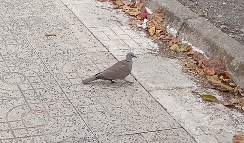
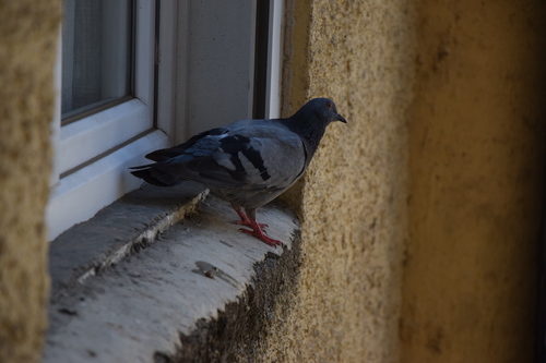
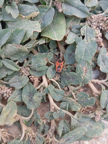
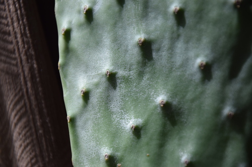
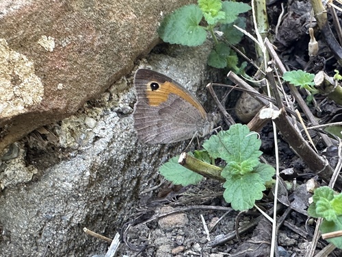
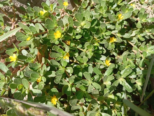
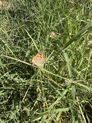
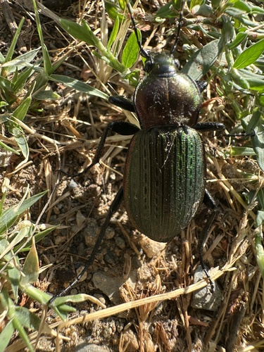
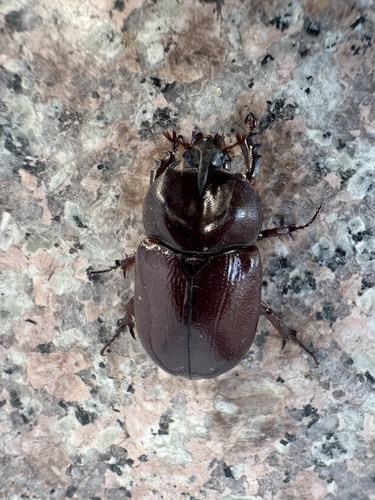
Research-grade observations from iNaturalist (within ~15 mi).
Events
Gallery
Sources
- • Wikipedia
- • Wikidata
- • USGS Earthquake Catalog (global feed)
- • iNaturalist
- • Open-Meteo / sunrise-sunset.org
- • Wikipedia Pageviews API
- • Open Library