Browse / Egypt / Matruh / As Sallum
As Sallum
Matruhtown

As Sallum
Total population
8,445
Demographic figures from CAPMAS (Egypt). Overview below cites Wikipedia and may reference a different year.
City facts
Facts from Wikidata (CC0).
Overview
Sallum is a harbourside village or town in Egypt. It is along the Egypt/Libyan short north–south aligned coast of the Mediterranean Sea in the far northwest corner of Egypt. It is, geodesically, eight kilometres east of the border with Libya, and 128 kilometres (80 mi) from the notable port of Tobruk, Libya.
Read more on WikipediaHistory & geography
History
Local people are mentioned in some Roman accounts of Catabathmus Maior/Magnus (referring to the local, obstructive ridge to east–west land trade, ʿAqaba as-Sallūm or more commonly today ʿAqaba al-Kabīr, literally 'the great pass.' It may have been Plynos Limen and Tetrapyrgia mentioned in less context-clear early courses. Sallum was the origin for many eastward migrations to Egypt Eyalet and Bilad al-Sham. During the 19th century, one family migrated first to Tafilah in southern Jordan, and thence to the region of Jaffa. They settled in ancient village of Mulabbis, and lived there for several generations until the establishment of Petah Tikva, the first Zionist colony, in 1878. Sallum was part of the Eyalet then Vilayet of Tripolitania, 1551–1911, the year before its fall mainly to Italy. That year, during the Italo-Turkish War, an Anglo-Egyptian force took it over, relieving its garrison, to prevent it from falling into Italian hands. When the border between Italian Libya and Egypt was settled by treaty in 1925, Sallum was placed on the Egyptian side. During the Senussi Campaign of World War I, Sallum was captured by the Senussi in November 1915 with Ottoman and German assistance. It was re-taken by the British in March 1916. In December 1941, during Operation Crusader in World War II (and the two other operations affecting nearby Halfaya Pass), Sallum was the location of fighting between the British Empire with allied Commonwealth forces against German with Italian forces; the latter were retreating from gains they had made deeper into Egypt. The Halfaya Sollum War Cemetery was established by the Commonwealth War Graves Commission to inter over 2,000 soldiers who died in the region. On July 21, 1977, Libya attacked Sallum, initiating the first clash in the…
Excerpted from the corresponding Wikipedia article (CC BY-SA).
Geography
Coordinates & boundaries from the US Census TIGER/Line shapefiles.
Climate
Air quality
Walkability
Amenities nearby
Wildlife & biodiversity
Earthquake history
Photos
Sights & places nearby
Notable people from here
People born within ~10 km, from Wikidata (CC0). Click any name for their Wikipedia article.
Nearby places in Matruh
- Al Maktilah61.5 mi away
- Abu Hajjaj160.8 mi away
- Qaret al Faras190.2 mi away
- Ghard Mubarak272.8 mi away
- Sudr Cape469.8 mi away · pop. 1,725
- Saint Catherine564.9 mi away
- Aldeia Capivara5951.9 mi away
- Aldeia Moricô5954.8 mi away
- Peixoto de Azevedo6018.6 mi away · pop. 32,714
- Novo Mundo6019.2 mi away · pop. 6,520
- Aldeia indígena6056.4 mi away
- Westby6060.9 mi away
Geography & sun
Elevation, sunrise/sunset and daylight from Open-Meteo. Solar climatology from NASA POWER.
Nearby airports
Public attention
Pageview totals from the Wikimedia Pageviews API.
Books about this place
Recent natural events nearby
Ground air-quality sensors
Recently spotted species
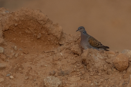
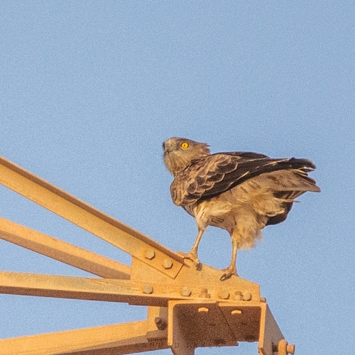
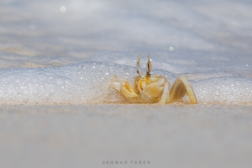
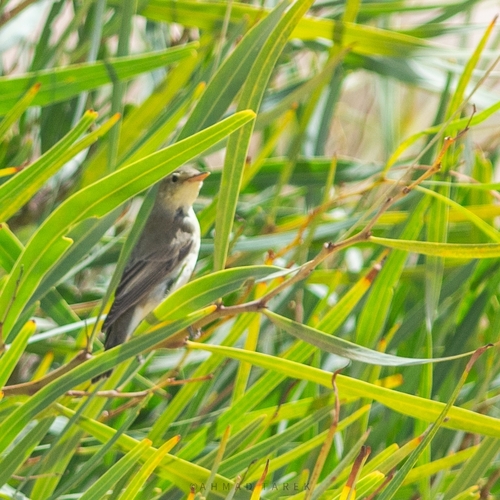
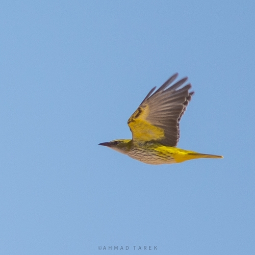
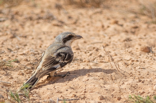
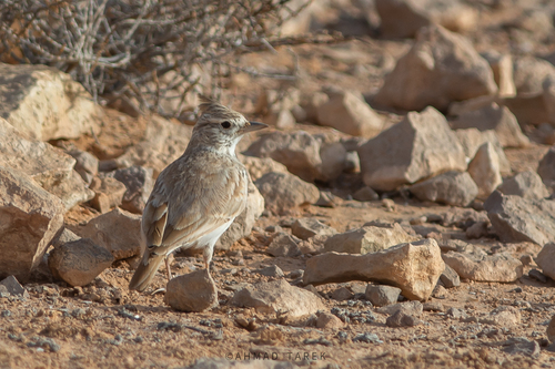
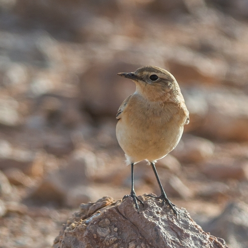
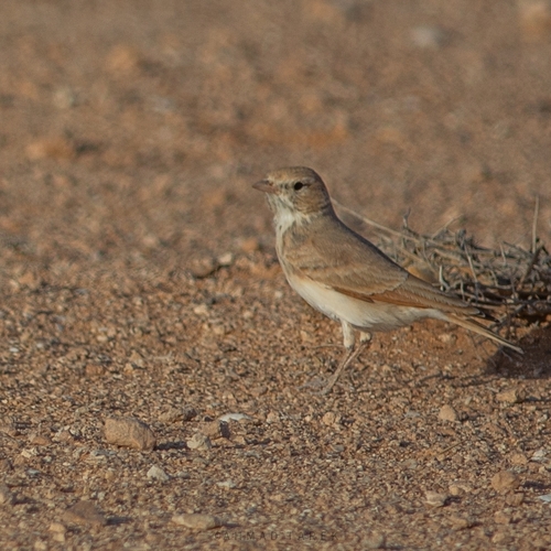
Research-grade observations from iNaturalist (within ~15 mi).
Events
Gallery
Sources
- • Wikipedia
- • Wikidata
- • iNaturalist
- • Open-Meteo / sunrise-sunset.org
- • Wikipedia Pageviews API