Browse / Egypt / Matruh / Saint Catherine
Saint Catherine
Matruhcity

Saint Catherine
Demographic figures from CAPMAS (Egypt). Overview below cites Wikipedia and may reference a different year.
City facts
Facts from Wikidata (CC0).
Overview
Saint Catherine is a town located in the South Sinai Governorate of Egypt, situated at the foot of Mount Sinai. The city is the site of Saint Catherine's Monastery.
Read more on WikipediaHistory & geography
History
During Egypt’s Pharaonic Era (3200-323 BCE), although Saint Catherine was not yet established as a city, the area was part of the Egyptian Empire in the province of "Deshret Reithu." In the 16th century BCE, the Egyptian pharaohs built the way of Shur across Sinai to Beersheba and on to Jerusalem. The region provided the Egyptian Empire with turquoise, gold, and copper. Well-preserved ruins of mines and temples are found not far from Saint Catherine at Serabit el-Khadim and Wadi Mukattab, the Valley of Inscription. They include temples from the 12th Dynasty, dedicated to Hathor, goddess of love, music, and beauty, and from the New Kingdom dedicated to Sopdu, the god of the Eastern Desert. Saint Catherine’s City was established between 527 and 565 CE, when Saint Catherine's Monastery was constructed at the foot of Mount Sinai by the order of Emperor Justinian.
Geography
Köppen-Geiger climate classification system classifies the climate as desert (BWh). Saint Catherine has the coldest nights of any city in Egypt, and its humidity is very low. The highest mountain ranges in Egypt surround the town, with many smaller valleys leading from the basin to the mountains in all directions. The township is at an elevation of . The high altitude of the town and the high mountain ranges which surround it provide a pleasant climate with mild summer nights and relatively cool winter days. The nights can get very cold on rare occasions, making it sometimes necessary to heat buildings and public places. Saint Catherine is considered to be one of the coldest towns in Egypt along with Nekhel and other locales in mountainous Sinai. Saint Catherine receives infrequent snowfalls during December, January, and February, however, snow has also occurred in late autumn and early spring. Saint Catherine Town lies at the foot of the Sinai high mountain region, the "Roof of Egypt", where Egypt's highest mountains are found. The town also puts pressure on the water resources, as groundwater in the valley is from the mountains. As of September 28, 2011, water from the Nile is being transported to Saint Catherine via a pipeline, built with the help of the European Union. The city of Saint Catherine and other close towns fall within the region of Saint Katherine Protectorate, which was established in 1988. Its unique high-altitude ecosystem with many endemic and rare species, include the world's smallest butterfly (the Sinai baton blue butterfly), flocks of Nubian ibex, and hundreds of different plants of medicinal value. The region has been declared a UNESCO World Heritage Area. Some of the species are endangered. Sinai agamas, rock hyraxes, and foxes can be…
Excerpted from the corresponding Wikipedia article (CC BY-SA).
Geography
Coordinates & boundaries from the US Census TIGER/Line shapefiles.
Climate
Air quality
Walkability
Amenities nearby
Wildlife & biodiversity
Earthquake history
Photos
Sights & places nearby
Notable people from here
Nearby places in Matruh
Geography & sun
Elevation, sunrise/sunset and daylight from Open-Meteo. Solar climatology from NASA POWER.
Nearby airports
Public attention
Pageview totals from the Wikimedia Pageviews API.
Books about this place
Recent natural events nearby
Ground air-quality sensors
Recently spotted species
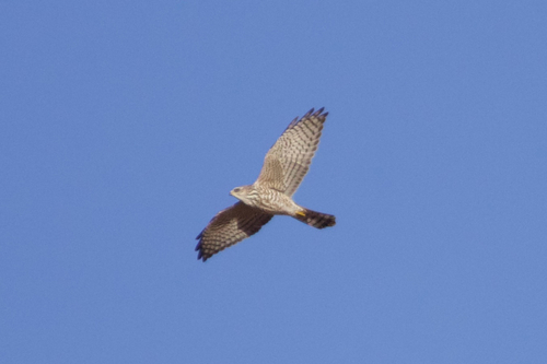
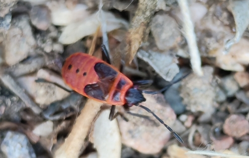
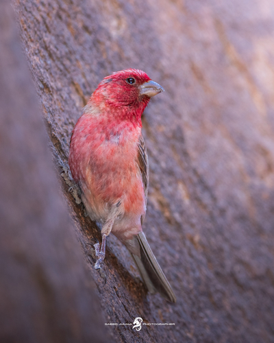
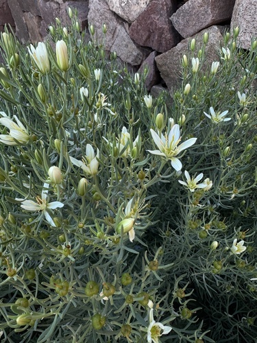
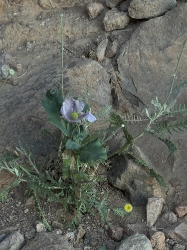
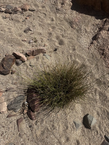
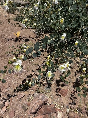
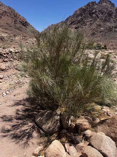
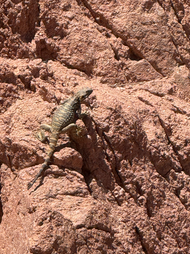
Research-grade observations from iNaturalist (within ~15 mi).
Events
Gallery
Sources
- • Wikipedia
- • Wikidata
- • iNaturalist
- • Open-Meteo / sunrise-sunset.org
- • Wikipedia Pageviews API