Browse / Egypt / Minya / Dahrut
Dahrut
Minyavillage
Demographic figures from CAPMAS (Egypt). Overview below cites Wikipedia and may reference a different year.
City facts
Overview
As a village in Minya, Egypt, Dahrut occupies its own corner of the country. Geographically it lies in the northern hemisphere at a subtropical latitude (28.608°, 30.803°). Up-to-date population figures for this locality are not available in the open datasets we monitor. Its latitude implies a climate characterised by hot summers and mild winters typical of the subtropics. The location receives about 2,247 kWh/m² of solar irradiance per year and sunshine for roughly 88% of daylight hours. Continue scrolling for population, climate, environmental and points-of-interest data drawn from public sources.
Summary composed automatically from structured open data on this page. See our Terms for details.
History & geography
Geography
Coordinates & boundaries from the US Census TIGER/Line shapefiles.
Climate
Air quality
Walkability
Amenities nearby
Wildlife & biodiversity
Most-observed species
- Graceful PriniaPrinia gracilis (Lichtenstein, 1823) · Aves4
- Spur-winged LapwingVanellus spinosus (Linnaeus, 1758) · Aves4
- House SparrowPasser domesticus (Linnaeus, 1758) · Aves4
- Hooded CrowCorvus cornix Linnaeus, 1758 · Aves3
- Great Gray ShrikeLanius excubitor Linnaeus, 1758 · Aves3
- African Green Bee-eaterMerops viridissimus Swainson, 1837 · Aves2
- Western SwamphenPorphyrio porphyrio (Linnaeus, 1758) · Aves2
- Blue-cheeked/Blue-tailed Bee-eaterMerops persicus Pallas, 1773 · Aves2
Citizen-science & research observations from the Global Biodiversity Information Facility (GBIF).
Earthquake history
Most recent
- M 4.5 — 2006-11-0874 km SE of Ban? Suwayf, Egypt
Events from the USGS Earthquake Catalog (global) (FDSN Event Web Service).
Photos
Sights & places nearby
Notable people from here


People born within ~10 km, from Wikidata (CC0). Click any name for their Wikipedia article.
Nearby places in Minya
- Naj Muhammad Haridi66.5 mi away
- Lutsen6039.6 mi away
- Finland6070.3 mi away · pop. 257
- Silver Bay6077.5 mi away
- Babbitt6083.8 mi away · pop. 1,393
- Soudan6086.4 mi away
- Ranier6086.9 mi away
- International Falls6089.5 mi away · pop. 5,642
- Nett Lake6100.9 mi away · pop. 171
- Littlefork6103.5 mi away
- Angle Inlet6107.1 mi away
- Gilbert6109.1 mi away · pop. 1,697
Geography & sun
Elevation, sunrise/sunset and daylight from Open-Meteo. Solar climatology from NASA POWER.
Nearby airports
Public attention
Books about this place
Recent natural events nearby
Ground air-quality sensors
Recently spotted species
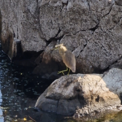
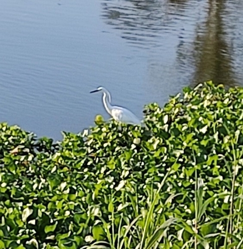
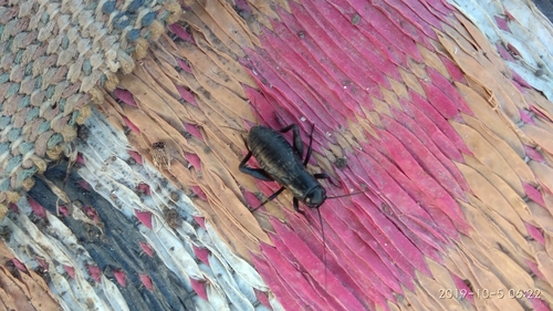
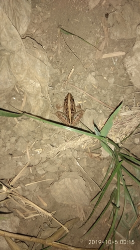
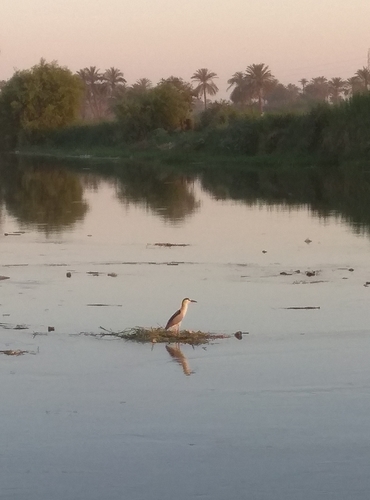
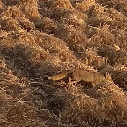

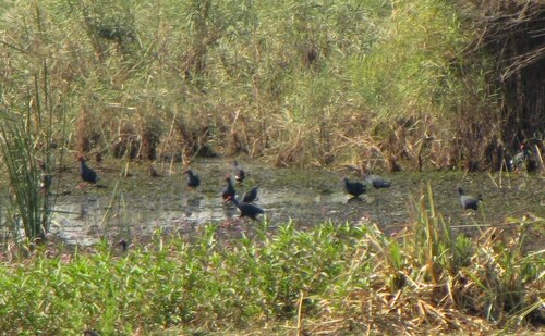
Research-grade observations from iNaturalist (within ~15 mi).
Events
Gallery
Sources
- • Wikidata
- • USGS Earthquake Catalog (global feed)
- • GBIF (Global Biodiversity Information Facility)
- • iNaturalist
- • Open-Meteo / sunrise-sunset.org